
| Memorials | : | 1 |
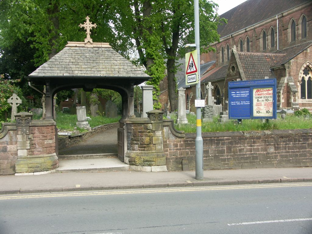
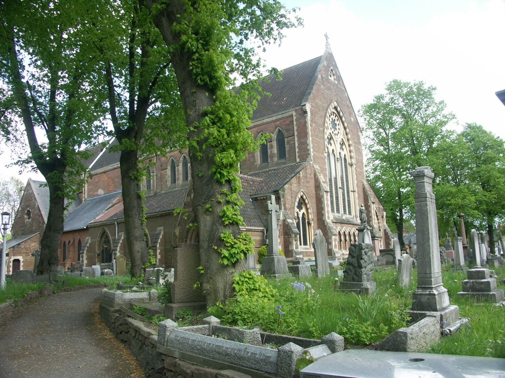
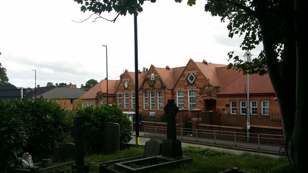
| Location | : | Acocks Green, Metropolitan Borough of Birmingham, England |
| Coordinate | : | 52.4475900, -1.8255700 |
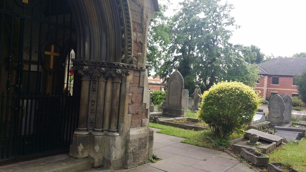
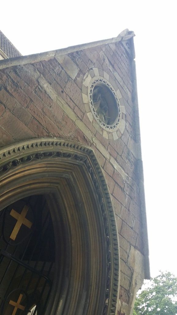
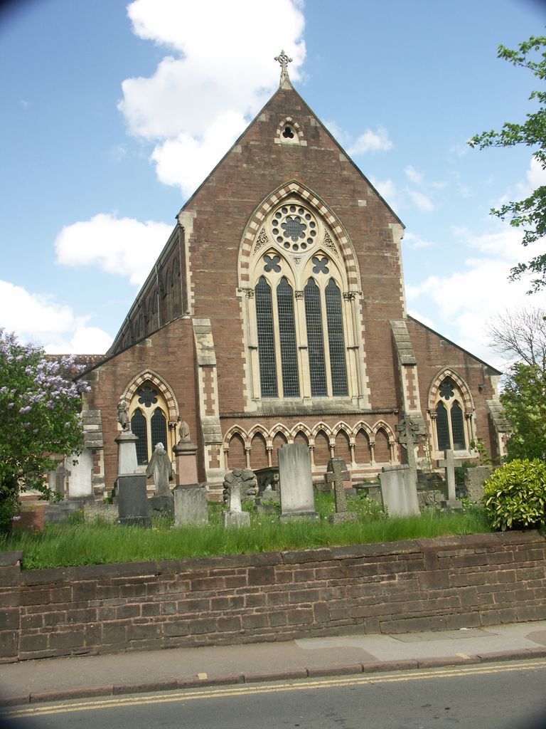
| Description | : | St. Mary's was built 1864-1866. It was intended that a tower and spire be included, but these were never built. The church was bombed on the night of 10th December, 1940 and lost some of it's features. The roof and windows were destroyed, as was the organ. Repairs were completed by 1949, and a new organ made by Compton installed in 1950. St.Mary's appeared in the Guinness Book of Records for "The fastest white wedding on record". On the afternoon of September 22nd, 1939, the wedding of Mr & Mrs T.G. Franklin took place 71 hours from proposal to confirmation, and... Read More |
frequently asked questions (FAQ):
-
Where is St. Mary's Churchyard?
St. Mary's Churchyard is located at Warwick Road Acocks Green, Metropolitan Borough of Birmingham ,West Midlands , B27 6QSEngland.
-
St. Mary's Churchyard cemetery's updated grave count on graveviews.com?
1 memorials
-
Where are the coordinates of the St. Mary's Churchyard?
Latitude: 52.4475900
Longitude: -1.8255700
Nearby Cemetories:
1. Yardley Cemetery and Crematorium
Birmingham, Metropolitan Borough of Birmingham, England
Coordinate: 52.4567460, -1.8188210
2. Church of The Ascension
Hall Green, Metropolitan Borough of Birmingham, England
Coordinate: 52.4341000, -1.8398200
3. Olton Franciscan Cemetery
Solihull, Metropolitan Borough of Solihull, England
Coordinate: 52.4262290, -1.8103680
4. Robin Hood Cemetery and Crematorium
Solihull, Metropolitan Borough of Solihull, England
Coordinate: 52.4206910, -1.8210050
5. St. Edburgha's Churchyard
Yardley, Metropolitan Borough of Birmingham, England
Coordinate: 52.4745600, -1.8027400
6. Our Lady of Lourdes
Yardley Wood, Metropolitan Borough of Birmingham, England
Coordinate: 52.4221570, -1.8605590
7. St. Mary's Churchyard
Moseley, Metropolitan Borough of Birmingham, England
Coordinate: 52.4462000, -1.8866900
8. St. Nicholas Churchyard
Elmdon, Metropolitan Borough of Solihull, England
Coordinate: 52.4429100, -1.7623100
9. Holy Trinity Churchyard
Bordesley, Metropolitan Borough of Birmingham, England
Coordinate: 52.4706200, -1.8776200
10. St James the Great Churchyard
Shirley, Metropolitan Borough of Solihull, England
Coordinate: 52.4072050, -1.8257760
11. Christ Church Churchyard
Yardley Wood, Metropolitan Borough of Birmingham, England
Coordinate: 52.4128140, -1.8645350
12. All Saints Churchyard
Kings Heath, Metropolitan Borough of Birmingham, England
Coordinate: 52.4330710, -1.8937240
13. St. Saviour Churchyard
Saltley, Metropolitan Borough of Birmingham, England
Coordinate: 52.4872100, -1.8579400
14. St. Alphege Churchyard
Solihull, Metropolitan Borough of Solihull, England
Coordinate: 52.4114020, -1.7759710
15. St. Margaret's Churchyard
Ward End, Metropolitan Borough of Birmingham, England
Coordinate: 52.4953100, -1.8341300
16. St Martin in the Bull Ring
Birmingham, Metropolitan Borough of Birmingham, England
Coordinate: 52.4770050, -1.8932950
17. St. James the Less Churchyard
Birmingham, Metropolitan Borough of Birmingham, England
Coordinate: 52.4867050, -1.8797570
18. St. Matthews Churchyard
Duddeston, Metropolitan Borough of Birmingham, England
Coordinate: 52.4905400, -1.8775100
19. Brandwood End Cemetery
Birmingham, Metropolitan Borough of Birmingham, England
Coordinate: 52.4181900, -1.8991100
20. Old Quaker Burial Ground
Birmingham, Metropolitan Borough of Birmingham, England
Coordinate: 52.4823770, -1.8960750
21. St Thomas Bath Row
Birmingham, Metropolitan Borough of Birmingham, England
Coordinate: 52.4731740, -1.9062371
22. Birmingham Cathedral
Birmingham, Metropolitan Borough of Birmingham, England
Coordinate: 52.4812000, -1.8989060
23. Christ Church Churchyard
Birmingham, Metropolitan Borough of Birmingham, England
Coordinate: 52.4798000, -1.9020000
24. Saint Marys Chapel (Defunct)
Birmingham, Metropolitan Borough of Birmingham, England
Coordinate: 52.4850600, -1.8961600