| Memorials | : | 0 |
| Location | : | Saltley, Metropolitan Borough of Birmingham, England |
| Coordinate | : | 52.4872100, -1.8579400 |
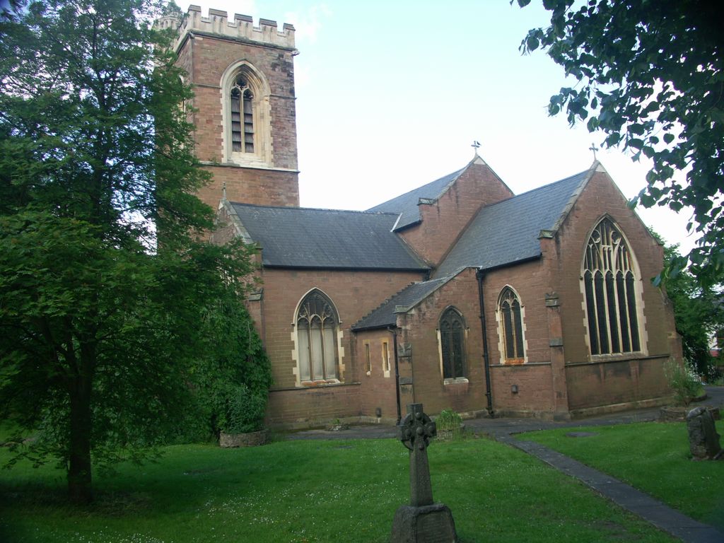
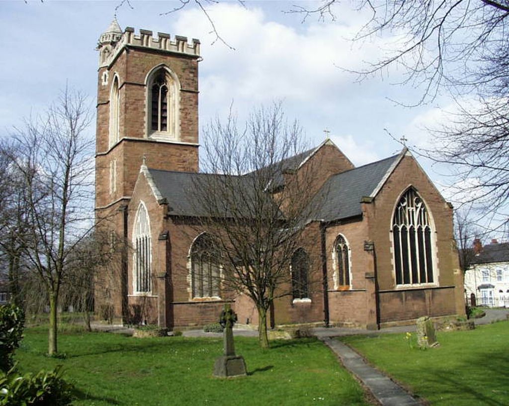
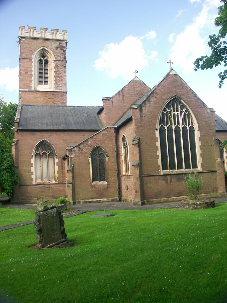
| Description | : | Situated in the parish of St. Mark with St. Saviour, Saltley. A united benefice created in 2005. The church was consecrated in 1851. The land (then a piece of Warwickshire meadow) was given by the then Lord Norton. During WW2 many of the stained glass windows were destroyed. In some cases the windows of today were created from the remains of the broken glass. There is a total of nine CWGC WW1 war graves scattered about the churchyard. It has been several decades since the churchyard has been used for new burials. Some memorials are in a very degraded... Read More |
frequently asked questions (FAQ):
-
Where is St. Saviour Churchyard?
St. Saviour Churchyard is located at St Saviour Road Saltley, Metropolitan Borough of Birmingham ,West Midlands , B8 1HWEngland.
-
St. Saviour Churchyard cemetery's updated grave count on graveviews.com?
0 memorials
-
Where are the coordinates of the St. Saviour Churchyard?
Latitude: 52.4872100
Longitude: -1.8579400
Nearby Cemetories:
1. St. Matthews Churchyard
Duddeston, Metropolitan Borough of Birmingham, England
Coordinate: 52.4905400, -1.8775100
2. St. James the Less Churchyard
Birmingham, Metropolitan Borough of Birmingham, England
Coordinate: 52.4867050, -1.8797570
3. St Josephs Churchyard
Nechells, Metropolitan Borough of Birmingham, England
Coordinate: 52.4989600, -1.8710100
4. St. Margaret's Churchyard
Ward End, Metropolitan Borough of Birmingham, England
Coordinate: 52.4953100, -1.8341300
5. Holy Trinity Churchyard
Bordesley, Metropolitan Borough of Birmingham, England
Coordinate: 52.4706200, -1.8776200
6. Saint Marys Chapel (Defunct)
Birmingham, Metropolitan Borough of Birmingham, England
Coordinate: 52.4850600, -1.8961600
7. Old Quaker Burial Ground
Birmingham, Metropolitan Borough of Birmingham, England
Coordinate: 52.4823770, -1.8960750
8. St Martin in the Bull Ring
Birmingham, Metropolitan Borough of Birmingham, England
Coordinate: 52.4770050, -1.8932950
9. St Peter and St Paul Churchyard
Aston, Metropolitan Borough of Birmingham, England
Coordinate: 52.5070340, -1.8796590
10. Birmingham Cathedral
Birmingham, Metropolitan Borough of Birmingham, England
Coordinate: 52.4812000, -1.8989060
11. Christ Church Churchyard
Birmingham, Metropolitan Borough of Birmingham, England
Coordinate: 52.4798000, -1.9020000
12. St. Paul's Churchyard
Birmingham, Metropolitan Borough of Birmingham, England
Coordinate: 52.4852472, -1.9057710
13. St Thomas Bath Row
Birmingham, Metropolitan Borough of Birmingham, England
Coordinate: 52.4731740, -1.9062371
14. Warstone Lane Cemetery
Birmingham, Metropolitan Borough of Birmingham, England
Coordinate: 52.4874340, -1.9139250
15. Key Hill Cemetery
Birmingham, Metropolitan Borough of Birmingham, England
Coordinate: 52.4908400, -1.9158600
16. St. Edburgha's Churchyard
Yardley, Metropolitan Borough of Birmingham, England
Coordinate: 52.4745600, -1.8027400
17. St. Barnabas Churchyard
Erdington, Metropolitan Borough of Birmingham, England
Coordinate: 52.5225500, -1.8392400
18. Yardley Cemetery and Crematorium
Birmingham, Metropolitan Borough of Birmingham, England
Coordinate: 52.4567460, -1.8188210
19. All Saints Churchyard
Hockley, Metropolitan Borough of Birmingham, England
Coordinate: 52.4915890, -1.9218570
20. Erdington Greek Orthodox Churchyard
Erdington, Metropolitan Borough of Birmingham, England
Coordinate: 52.5267800, -1.8369700
21. Witton Cemetery
Witton, Metropolitan Borough of Birmingham, England
Coordinate: 52.5265230, -1.8827870
22. St Thomas of Canterbury
Erdington, Metropolitan Borough of Birmingham, England
Coordinate: 52.5283500, -1.8356200
23. St. Mary's Churchyard
Handsworth, Metropolitan Borough of Birmingham, England
Coordinate: 52.5106700, -1.9193690
24. St. Mary's Churchyard
Acocks Green, Metropolitan Borough of Birmingham, England
Coordinate: 52.4475900, -1.8255700


