
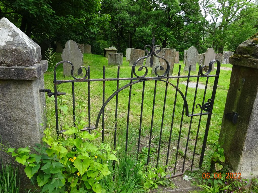
| Memorials | : | 0 |
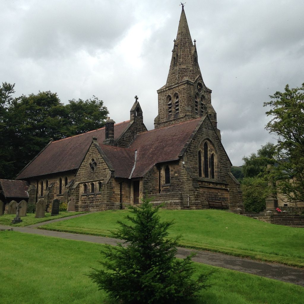
| Location | : | Edale, High Peak Borough, England |
| Coordinate | : | 53.3688190, -1.8154910 |
frequently asked questions (FAQ):
-
Where is Church of the Holy and Undivided Trinity?
Church of the Holy and Undivided Trinity is located at Edale, High Peak Borough ,Derbyshire ,England.
-
Church of the Holy and Undivided Trinity cemetery's updated grave count on graveviews.com?
0 memorials
-
Where are the coordinates of the Church of the Holy and Undivided Trinity?
Latitude: 53.3688190
Longitude: -1.8154910
Nearby Cemetories:
1. Edale Methodist Chapel
Edale, High Peak Borough, England
Coordinate: 53.3601000, -1.8315000
2. St. Edmund's Churchyard
Castleton, High Peak Borough, England
Coordinate: 53.3428300, -1.7758600
3. Hope Cemetery
Hope, High Peak Borough, England
Coordinate: 53.3523100, -1.7418640
4. St Peter's Churchyard
Hope, High Peak Borough, England
Coordinate: 53.3476570, -1.7424920
5. Wesleyan Chapel
Peak Forest, High Peak Borough, England
Coordinate: 53.3116840, -1.8302360
6. Derwent Woodlands Churchyard
Derwent and Hope Woodlands, High Peak Borough, England
Coordinate: 53.3932000, -1.7239000
7. Charles King and Martyr Parish Churchyard
Peak Forest, High Peak Borough, England
Coordinate: 53.3095830, -1.8303960
8. Bethlehem Churchyard
Bradwell, Derbyshire Dales District, England
Coordinate: 53.3277120, -1.7417070
9. Methodist Chapel Graveyard
Bradwell, Derbyshire Dales District, England
Coordinate: 53.3264690, -1.7417860
10. St Barnabas Churchyard
Bradwell, Derbyshire Dales District, England
Coordinate: 53.3263560, -1.7387040
11. Thornhill Methodist Churchyard
Thornhill, High Peak Borough, England
Coordinate: 53.3481140, -1.7042620
12. White Knowle Methodist Chapel
Chinley, High Peak Borough, England
Coordinate: 53.3427389, -1.9242500
13. Chinley Independent Chapelyard
Chapel-en-le-Frith, High Peak Borough, England
Coordinate: 53.3349830, -1.9182290
14. Town End Methodist Churchyard
Chapel-en-le-Frith, High Peak Borough, England
Coordinate: 53.3246590, -1.9090850
15. St Thomas A Beckett Churchyard
Chapel-en-le-Frith, High Peak Borough, England
Coordinate: 53.3243340, -1.9148240
16. Our Lady of Sorrows RC Churchyard
Bamford, High Peak Borough, England
Coordinate: 53.3509230, -1.6915140
17. St. John the Baptist Churchyard
Bamford, High Peak Borough, England
Coordinate: 53.3468590, -1.6896950
18. St. Matthew's Churchyard
Hayfield, High Peak Borough, England
Coordinate: 53.3794310, -1.9461140
19. St Paul Churchyard
Dove Holes, High Peak Borough, England
Coordinate: 53.3007950, -1.8859330
20. Hayfield Cemetery
Hayfield, High Peak Borough, England
Coordinate: 53.3787660, -1.9527010
21. Dove Holes Methodist Churchyard
Dove Holes, High Peak Borough, England
Coordinate: 53.2975100, -1.8878900
22. Methodist Churchyard
Great Hucklow, Derbyshire Dales District, England
Coordinate: 53.2970009, -1.7330000
23. Tideswell Parish Council Cemetery
Tideswell, Derbyshire Dales District, England
Coordinate: 53.2846630, -1.7639730
24. Trot Lane Private Cemetery
Foolow, Derbyshire Dales District, England
Coordinate: 53.2872651, -1.7434660