
| Memorials | : | 0 |
| Location | : | Bamford, High Peak Borough, England |
| Coordinate | : | 53.3468590, -1.6896950 |
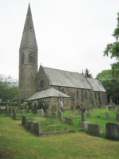
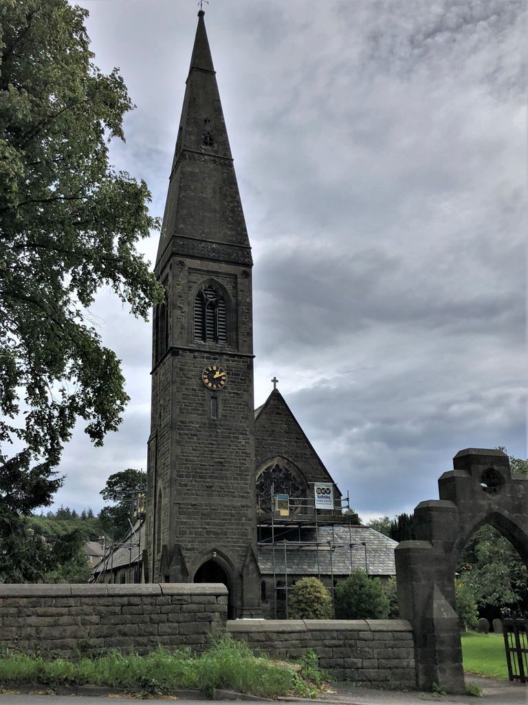
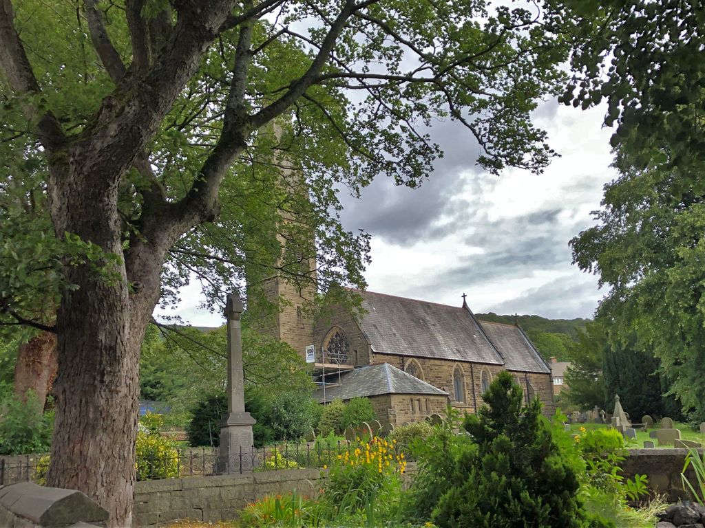
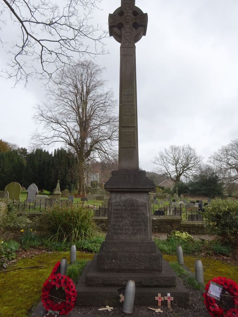
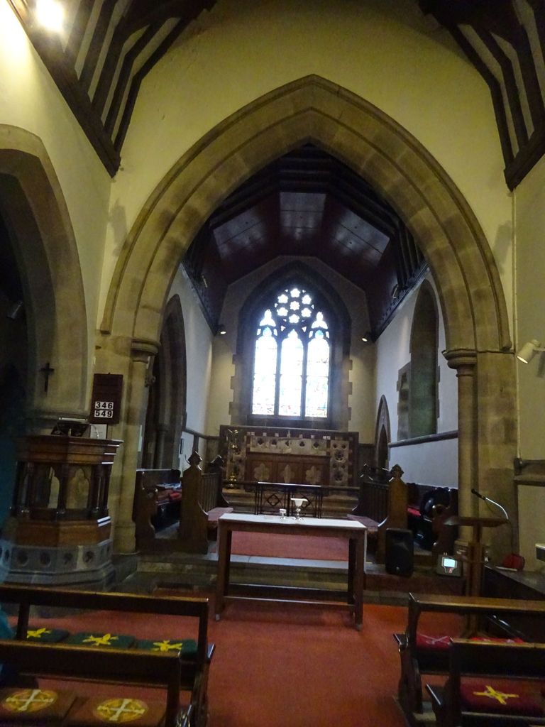
| Description | : | Built in 1861, St John the Baptist Church in Bamford is the only church in Derbyshire designed by renowned gothic revival architect William Butterfield. Butterfield was famed for designing several churches, cathedrals and chapels, like at Keble College Oxford, Rugby School and St Paul's Anglican Cathedral in Melbourne, Australia. Bamford's parish church is a sleek and slender building with a needle spire. The Churchyard is still in use for burials |
frequently asked questions (FAQ):
-
Where is St. John the Baptist Churchyard?
St. John the Baptist Churchyard is located at Main Road Bamford, High Peak Borough ,Derbyshire , S33 OAYEngland.
-
St. John the Baptist Churchyard cemetery's updated grave count on graveviews.com?
0 memorials
-
Where are the coordinates of the St. John the Baptist Churchyard?
Latitude: 53.3468590
Longitude: -1.6896950
Nearby Cemetories:
1. Our Lady of Sorrows RC Churchyard
Bamford, High Peak Borough, England
Coordinate: 53.3509230, -1.6915140
2. Thornhill Methodist Churchyard
Thornhill, High Peak Borough, England
Coordinate: 53.3481140, -1.7042620
3. St Michael and All Angels Churchyard
Hathersage, Derbyshire Dales District, England
Coordinate: 53.3330570, -1.6501020
4. St Peter's Churchyard
Hope, High Peak Borough, England
Coordinate: 53.3476570, -1.7424920
5. Hope Cemetery
Hope, High Peak Borough, England
Coordinate: 53.3523100, -1.7418640
6. St Barnabas Churchyard
Bradwell, Derbyshire Dales District, England
Coordinate: 53.3263560, -1.7387040
7. Bethlehem Churchyard
Bradwell, Derbyshire Dales District, England
Coordinate: 53.3277120, -1.7417070
8. Methodist Chapel Graveyard
Bradwell, Derbyshire Dales District, England
Coordinate: 53.3264690, -1.7417860
9. Hamlet of Bretton
Eyam, Derbyshire Dales District, England
Coordinate: 53.2979962, -1.7008309
10. Derwent Woodlands Churchyard
Derwent and Hope Woodlands, High Peak Borough, England
Coordinate: 53.3932000, -1.7239000
11. St. Edmund's Churchyard
Castleton, High Peak Borough, England
Coordinate: 53.3428300, -1.7758600
12. Methodist Churchyard
Great Hucklow, Derbyshire Dales District, England
Coordinate: 53.2970009, -1.7330000
13. St. Helen's Churchyard
Grindleford, Derbyshire Dales District, England
Coordinate: 53.2975200, -1.6322900
14. Riley Farm
Eyam, Derbyshire Dales District, England
Coordinate: 53.2857957, -1.6636787
15. St. Lawrence's Churchyard
Eyam, Derbyshire Dales District, England
Coordinate: 53.2842751, -1.6749160
16. Eyam Village
Eyam, Derbyshire Dales District, England
Coordinate: 53.2843748, -1.6717200
17. Riley Graves
Eyam, Derbyshire Dales District, England
Coordinate: 53.2839200, -1.6586665
18. Trot Lane Private Cemetery
Foolow, Derbyshire Dales District, England
Coordinate: 53.2872651, -1.7434660
19. St Martin
Stoney Middleton, Derbyshire Dales District, England
Coordinate: 53.2758020, -1.6542840
20. Tideswell Parish Council Cemetery
Tideswell, Derbyshire Dales District, England
Coordinate: 53.2846630, -1.7639730
21. Church of the Holy and Undivided Trinity
Edale, High Peak Borough, England
Coordinate: 53.3688190, -1.8154910
22. The Good Shepherd Churchyard
Wardlow, Derbyshire Dales District, England
Coordinate: 53.2693970, -1.7294140
23. St John the Baptist Tideswell
Tideswell, Derbyshire Dales District, England
Coordinate: 53.2785640, -1.7728500
24. Edale Methodist Chapel
Edale, High Peak Borough, England
Coordinate: 53.3601000, -1.8315000