
| Memorials | : | 1 |
| Location | : | Chapel-en-le-Frith, High Peak Borough, England |
| Coordinate | : | 53.3243340, -1.9148240 |
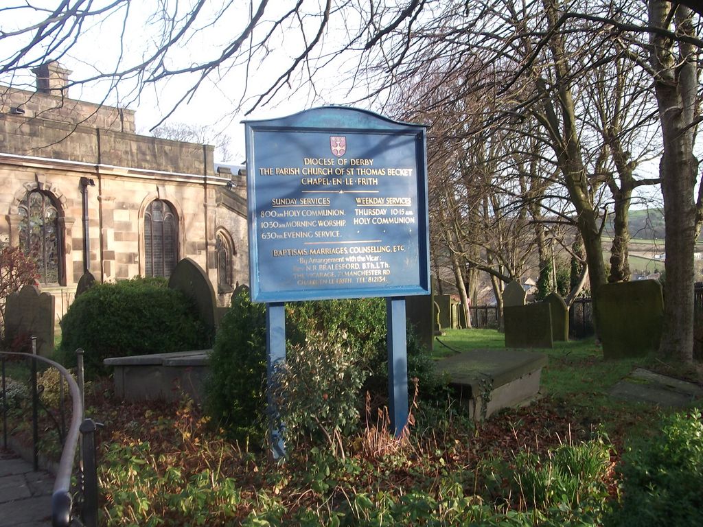
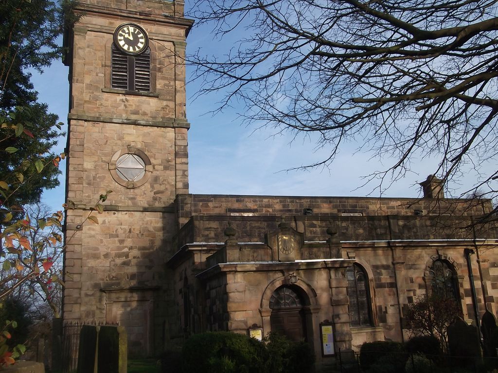
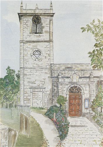
| Description | : | The Norman Kings used this area as a hunting ground and created a large tract as the Royal Forest of the Peak. A chapel was built in the forest in 1225 hence Chapel-en-le-Frith. The church was dedicated to Saint Thomas Becket. The present parish church stands on the same site and was added to and rebuilt in 1733. There are burials and memorials in the church and in the surrounding yard. |
frequently asked questions (FAQ):
-
Where is St Thomas A Beckett Churchyard?
St Thomas A Beckett Churchyard is located at Chapel-en-le-Frith, High Peak Borough ,Derbyshire ,England.
-
St Thomas A Beckett Churchyard cemetery's updated grave count on graveviews.com?
1 memorials
-
Where are the coordinates of the St Thomas A Beckett Churchyard?
Latitude: 53.3243340
Longitude: -1.9148240
Nearby Cemetories:
1. Town End Methodist Churchyard
Chapel-en-le-Frith, High Peak Borough, England
Coordinate: 53.3246590, -1.9090850
2. Chinley Independent Chapelyard
Chapel-en-le-Frith, High Peak Borough, England
Coordinate: 53.3349830, -1.9182290
3. White Knowle Methodist Chapel
Chinley, High Peak Borough, England
Coordinate: 53.3427389, -1.9242500
4. St Paul Churchyard
Dove Holes, High Peak Borough, England
Coordinate: 53.3007950, -1.8859330
5. Dove Holes Methodist Churchyard
Dove Holes, High Peak Borough, England
Coordinate: 53.2975100, -1.8878900
6. Buxworth Primitive Methodist Churchyard
Chinley, High Peak Borough, England
Coordinate: 53.3364680, -1.9662910
7. Primitive Methodist Chapel 1841
Buxworth, High Peak Borough, England
Coordinate: 53.3363378, -1.9667282
8. St. James Churchyard
Buxworth, High Peak Borough, England
Coordinate: 53.3362500, -1.9688500
9. Fernilee Methodist Church
Fernilee, High Peak Borough, England
Coordinate: 53.3072690, -1.9752940
10. St. James Churchyard
Whaley Bridge, High Peak Borough, England
Coordinate: 53.3153270, -1.9918840
11. Wesleyan Chapel
Peak Forest, High Peak Borough, England
Coordinate: 53.3116840, -1.8302360
12. Charles King and Martyr Parish Churchyard
Peak Forest, High Peak Borough, England
Coordinate: 53.3095830, -1.8303960
13. St. Matthew's Churchyard
Hayfield, High Peak Borough, England
Coordinate: 53.3794310, -1.9461140
14. Hayfield Cemetery
Hayfield, High Peak Borough, England
Coordinate: 53.3787660, -1.9527010
15. St Peter's Churchyard
Fairfield, High Peak Borough, England
Coordinate: 53.2642220, -1.9012830
16. Edale Methodist Chapel
Edale, High Peak Borough, England
Coordinate: 53.3601000, -1.8315000
17. St. George's Churchyard
New Mills, High Peak Borough, England
Coordinate: 53.3658550, -1.9940870
18. St John the Baptist Churchyard
Buxton, High Peak Borough, England
Coordinate: 53.2589380, -1.9172770
19. New Mills Wesleyan Cemetery
New Mills, High Peak Borough, England
Coordinate: 53.3693695, -1.9974647
20. Mount Pleasant Methodist Free Chapel
New Mills, High Peak Borough, England
Coordinate: 53.3683310, -2.0012190
21. Church of the Annunciation St Mary's Catholic
New Mills, High Peak Borough, England
Coordinate: 53.3664315, -2.0050768
22. Thornsett Cemetery
New Mills, High Peak Borough, England
Coordinate: 53.3777150, -1.9873620
23. Church of St. Anne
Buxton, High Peak Borough, England
Coordinate: 53.2538256, -1.9157350
24. Christ Church Churchyard
Burbage, High Peak Borough, England
Coordinate: 53.2528840, -1.9357390