
| Memorials | : | 0 |
| Location | : | Clark County, USA |
| Coordinate | : | 37.9773160, -84.0988820 |
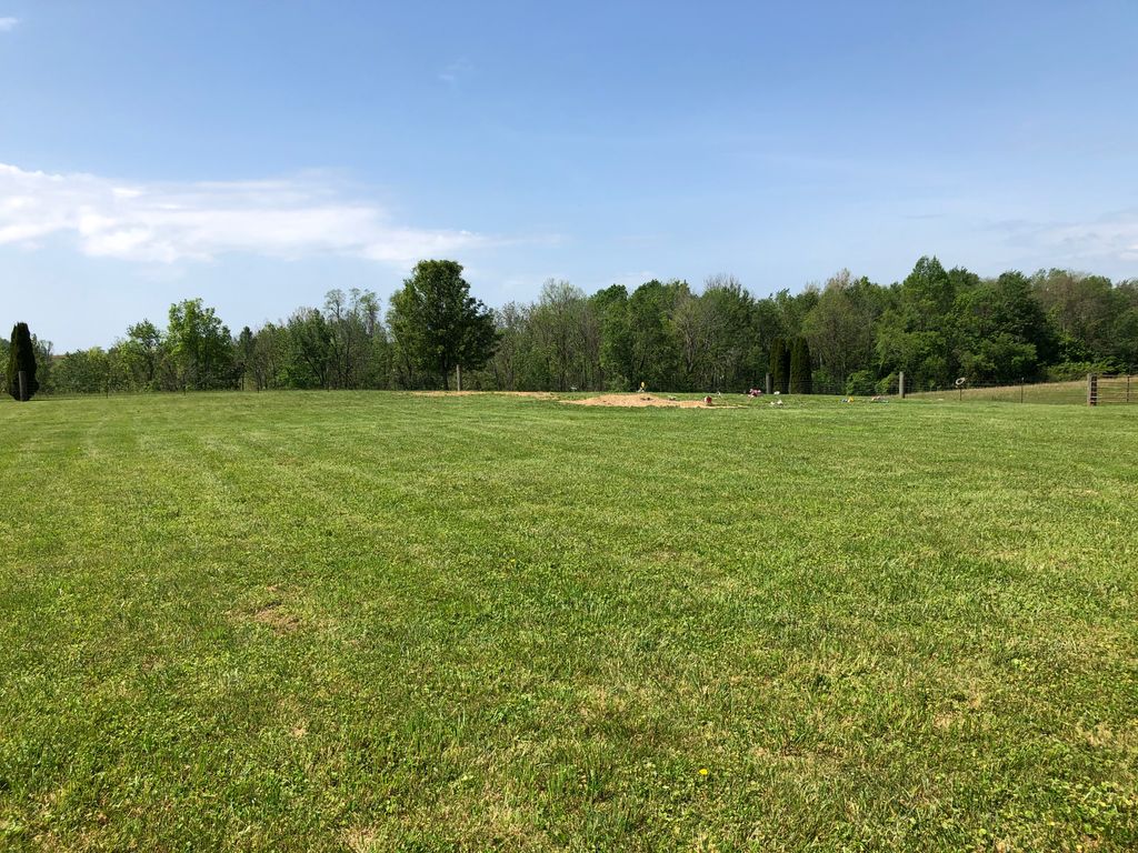
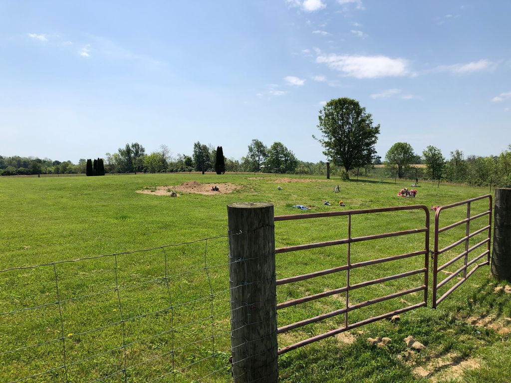
| Description | : | This institution was referred to as the Clark County Infirmary and the Clark County Farm. Locally, it was sometimes referred to as the County Poor Farm. The institution kept its own cemetery for those residents who did not have the means to purchase a cemetery plot elsewhere. Any of those names may appear on death certificates, as the place of interment. Even after the facility closed, its cemetery was used, by the county, as a place of interment. As time passed, it began to be known by the more politically-correct name of the Clark County Cemetery. The site of the... Read More |
frequently asked questions (FAQ):
-
Where is Clark County Farm Cemetery?
Clark County Farm Cemetery is located at Ironworks Pike Clark County ,Kentucky ,USA.
-
Clark County Farm Cemetery cemetery's updated grave count on graveviews.com?
0 memorials
-
Where are the coordinates of the Clark County Farm Cemetery?
Latitude: 37.9773160
Longitude: -84.0988820
Nearby Cemetories:
1. Adams Cemetery
Clark County, USA
Coordinate: 37.9427986, -84.1016998
2. Ervin Cemetery
Clark County, USA
Coordinate: 37.9522018, -84.0550003
3. Fox Cemetery
Clark County, USA
Coordinate: 37.9486008, -84.0586014
4. Hedges Station Cemetery
Hedges, Clark County, USA
Coordinate: 37.9984200, -84.0380610
5. Bethlehem Christian Church Cemetery
Clark County, USA
Coordinate: 37.9868333, -84.0251167
6. Davis Cemetery
Montgomery County, USA
Coordinate: 38.0281150, -84.0374490
7. Hodge Cemetery
Clark County, USA
Coordinate: 38.0472221, -84.0416641
8. Peel Family Graveyard
Kiddville, Clark County, USA
Coordinate: 37.9614890, -83.9950380
9. Goff Graveyard
Clark County, USA
Coordinate: 37.9422390, -83.9995870
10. French Cemetery
Montgomery County, USA
Coordinate: 38.0289001, -84.0092010
11. Kidd Cemetery
Montgomery County, USA
Coordinate: 37.9683330, -83.9877780
12. Calmes Cemetery
Clark County, USA
Coordinate: 37.9712200, -84.2124300
13. Prewitt Cemetery
Montgomery County, USA
Coordinate: 38.0222015, -83.9981003
14. Gravett Cemetery
Clark County, USA
Coordinate: 37.8884830, -84.1258170
15. Barrow and Hoskins Cemetery
Prewitt, Montgomery County, USA
Coordinate: 38.0158330, -83.9905560
16. King Cemetery
Goffs Corner, Clark County, USA
Coordinate: 37.9176243, -84.0066021
17. Morton Cemetery
Grassy Lick, Montgomery County, USA
Coordinate: 38.0544600, -84.0254500
18. Lulbegrud Baptist Church Cemetery
Klondike, Montgomery County, USA
Coordinate: 38.0204500, -83.9892000
19. Morton Slave Burial Grounds
Grassy Lick, Montgomery County, USA
Coordinate: 38.0553200, -84.0248100
20. Prewitt and Combs Cemetery
Prewitt, Montgomery County, USA
Coordinate: 38.0180560, -83.9861110
21. Dawson Cemetery
Clark County, USA
Coordinate: 37.9082985, -84.0057983
22. Frank Anderson Farm Cemetery
Clark County, USA
Coordinate: 37.9430542, -83.9744415
23. Center Family Cemetery
Levee, Montgomery County, USA
Coordinate: 37.9505330, -83.9709870
24. Fletcher-Garrett Cemetery
Montgomery County, USA
Coordinate: 38.0128674, -83.9738331