
| Memorials | : | 0 |
| Location | : | Hedges, Clark County, USA |
| Coordinate | : | 37.9984200, -84.0380610 |
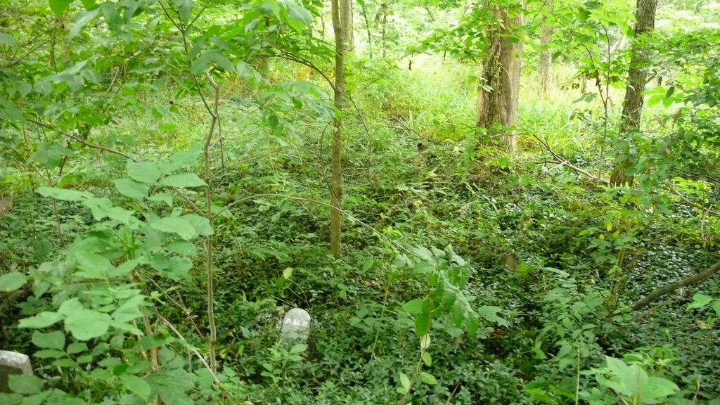
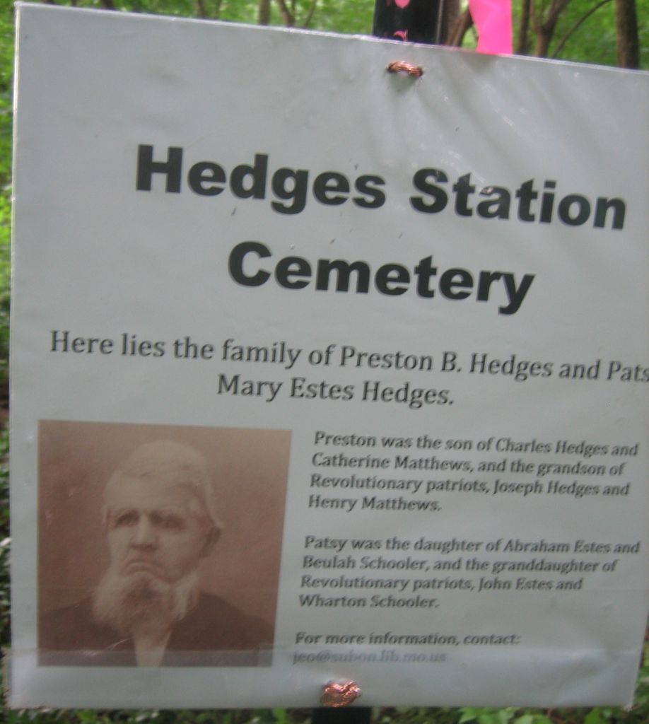
| Description | : | This cemetery is a landmark reminder of the location of Hedges Station (Depot and PO) which once served the community of Schollsville and the farmers in this area. Preston B. Hedges was the proprietor/farmer who lived here when the Elizabeth, Lexington & Big Sandy Railroad first cut tracks through this area. His station providing meals, lodging, and depot services left his name forever a part of Clark County history. |
frequently asked questions (FAQ):
-
Where is Hedges Station Cemetery?
Hedges Station Cemetery is located at East of Hedges Station Road along the old EL&BS railway bed Hedges, Clark County ,Kentucky , 40391USA.
-
Hedges Station Cemetery cemetery's updated grave count on graveviews.com?
0 memorials
-
Where are the coordinates of the Hedges Station Cemetery?
Latitude: 37.9984200
Longitude: -84.0380610
Nearby Cemetories:
1. Bethlehem Christian Church Cemetery
Clark County, USA
Coordinate: 37.9868333, -84.0251167
2. Davis Cemetery
Montgomery County, USA
Coordinate: 38.0281150, -84.0374490
3. French Cemetery
Montgomery County, USA
Coordinate: 38.0289001, -84.0092010
4. Prewitt Cemetery
Montgomery County, USA
Coordinate: 38.0222015, -83.9981003
5. Barrow and Hoskins Cemetery
Prewitt, Montgomery County, USA
Coordinate: 38.0158330, -83.9905560
6. Lulbegrud Baptist Church Cemetery
Klondike, Montgomery County, USA
Coordinate: 38.0204500, -83.9892000
7. Prewitt and Combs Cemetery
Prewitt, Montgomery County, USA
Coordinate: 38.0180560, -83.9861110
8. Ervin Cemetery
Clark County, USA
Coordinate: 37.9522018, -84.0550003
9. Hodge Cemetery
Clark County, USA
Coordinate: 38.0472221, -84.0416641
10. Kidd Cemetery
Montgomery County, USA
Coordinate: 37.9683330, -83.9877780
11. Peel Family Graveyard
Kiddville, Clark County, USA
Coordinate: 37.9614890, -83.9950380
12. Clark County Farm Cemetery
Clark County, USA
Coordinate: 37.9773160, -84.0988820
13. Fox Cemetery
Clark County, USA
Coordinate: 37.9486008, -84.0586014
14. Fletcher-Garrett Cemetery
Montgomery County, USA
Coordinate: 38.0128674, -83.9738331
15. Morton Cemetery
Grassy Lick, Montgomery County, USA
Coordinate: 38.0544600, -84.0254500
16. Morton Slave Burial Grounds
Grassy Lick, Montgomery County, USA
Coordinate: 38.0553200, -84.0248100
17. Orear Cemetery
Montgomery County, USA
Coordinate: 38.0238890, -83.9675000
18. Goff Graveyard
Clark County, USA
Coordinate: 37.9422390, -83.9995870
19. Calk Cemetery
Mount Sterling, Montgomery County, USA
Coordinate: 38.0290670, -83.9609640
20. Elliott Cemetery
Levee, Montgomery County, USA
Coordinate: 37.9600000, -83.9661110
21. Joel Elliott Cemetery
Levee, Montgomery County, USA
Coordinate: 37.9600850, -83.9658130
22. Woosley Cemetery
Levee, Montgomery County, USA
Coordinate: 37.9596200, -83.9633570
23. Center Family Cemetery
Levee, Montgomery County, USA
Coordinate: 37.9505330, -83.9709870
24. Hainline Cemetery
Montgomery County, USA
Coordinate: 37.9815810, -83.9497990