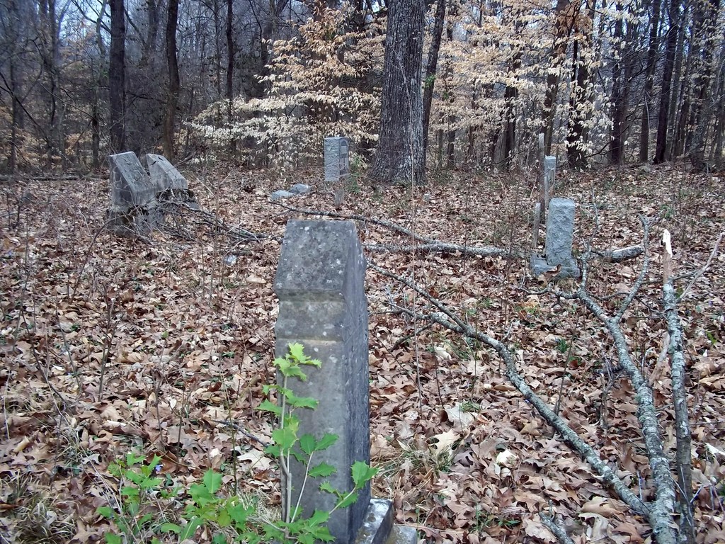
| Memorials | : | 1 |
| Location | : | Madison County, USA |
| Coordinate | : | 35.7581000, -88.6139000 |
| Description | : | From the intersection of TN-152 & I-40. at Exit #93, travel north on TN-152 for 1.2 mi., turning northeast (right) onto Law Rd., going 2.0 mi. to the cemetery on the east (right) side of the road. The Lewis-McClain Cemetery is located on the east side of Law Rd. near the Madison-Henderson Co. line. It is no longer used and seems mostly un-maintained, though brush may have been removed recently. The cemetery is larger than the number of markers listed might suggest. Depressions and jonquils flowers are visible in areas without markers. There is a small area with... Read More |
frequently asked questions (FAQ):
-
Where is Oak Grove Cemetery?
Oak Grove Cemetery is located at Law Road Madison County ,Tennessee , 38305USA.
-
Oak Grove Cemetery cemetery's updated grave count on graveviews.com?
0 memorials
-
Where are the coordinates of the Oak Grove Cemetery?
Latitude: 35.7581000
Longitude: -88.6139000
Nearby Cemetories:
1. Oakley Cemetery
Jackson, Madison County, USA
Coordinate: 35.7467730, -88.6094490
2. Wards Grove Baptist Church Cemetery
Spring Creek, Madison County, USA
Coordinate: 35.7450900, -88.6235510
3. Cool Springs Cemetery
Independence, Henderson County, USA
Coordinate: 35.7494490, -88.5923100
4. Grant-Gaston Cemeteryʌ
Spring Creek, Madison County, USA
Coordinate: 35.7412000, -88.6406000
5. Fly Cemetery
Spring Creek, Madison County, USA
Coordinate: 35.7523870, -88.6484160
6. Lebanon Methodist Church Cemetery
Jackson, Madison County, USA
Coordinate: 35.7883540, -88.6222740
7. Williams Family Cemetery
Jackson, Madison County, USA
Coordinate: 35.7306000, -88.6325000
8. Independence Cemetery
Poplar Springs, Henderson County, USA
Coordinate: 35.7280998, -88.5860977
9. Donnell Cemetery
Spring Creek, Madison County, USA
Coordinate: 35.7750000, -88.6570000
10. New Carmel Cemetery
Madison County, USA
Coordinate: 35.7578290, -88.6644070
11. Askew Haughton Cemetery
Madison County, USA
Coordinate: 35.7541670, -88.6655290
12. Wood Hill Cemetery
Cedar Grove, Carroll County, USA
Coordinate: 35.8041440, -88.6211750
13. Stewart Cemetery
Henderson County, USA
Coordinate: 35.7694170, -88.5537500
14. Claybrook-Berry Zion Cemetery
Beech Bluff, Madison County, USA
Coordinate: 35.7072720, -88.6249050
15. Colonel Taylor's Cemetery
Jackson, Madison County, USA
Coordinate: 35.7732000, -88.6777800
16. Pearson Family Graveyard
Claybrook, Madison County, USA
Coordinate: 35.7083100, -88.6441600
17. Manley Cemetery
Blue Goose, Henderson County, USA
Coordinate: 35.7069600, -88.5837520
18. Pleasant Hill Cemetery
Mount Gilead, Henderson County, USA
Coordinate: 35.7599983, -88.5408020
19. Kirk Family Cemetery
Cedar Grove, Henderson County, USA
Coordinate: 35.8158990, -88.5958870
20. Adams Cemetery
Carroll County, USA
Coordinate: 35.7984900, -88.6688400
21. Spain Cemetery
Henderson County, USA
Coordinate: 35.8069000, -88.5663986
22. Threadgill Cemetery
Lavinia, Carroll County, USA
Coordinate: 35.8033300, -88.6683300
23. Spring Creek Church Cemetery
Spring Creek, Madison County, USA
Coordinate: 35.7696870, -88.6906290
24. Key Cemetery
Spring Creek, Madison County, USA
Coordinate: 35.7036680, -88.6538450

