
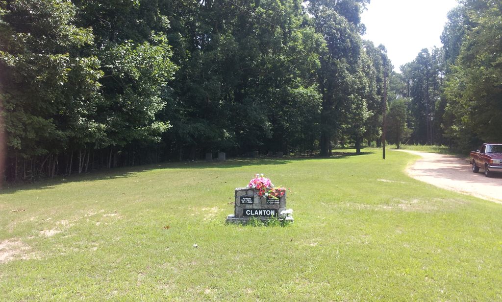
| Memorials | : | 1 |
| Location | : | Independence, Henderson County, USA |
| Coordinate | : | 35.7494490, -88.5923100 |
| Description | : | From the intersection of TN-152 W & I-40, west of Jackson, travel north on TN-152 for 1.2 mi., continuing NE (right) onto Law Rd. for 3.8 mi., continuing briefly on the Clark Rd., turning south (right) onto Law Rd., going 0.2 mi., turning northeast onto Cool Springs Church Rd. to the cemetery on the north (left) side of the gravel road, leading towards the church. |
frequently asked questions (FAQ):
-
Where is Cool Springs Cemetery?
Cool Springs Cemetery is located at Law Road Independence, Henderson County ,Tennessee , 38351USA.
-
Cool Springs Cemetery cemetery's updated grave count on graveviews.com?
1 memorials
-
Where are the coordinates of the Cool Springs Cemetery?
Latitude: 35.7494490
Longitude: -88.5923100
Nearby Cemetories:
1. Oakley Cemetery
Jackson, Madison County, USA
Coordinate: 35.7467730, -88.6094490
2. Oak Grove Cemetery
Madison County, USA
Coordinate: 35.7581000, -88.6139000
3. Independence Cemetery
Poplar Springs, Henderson County, USA
Coordinate: 35.7280998, -88.5860977
4. Wards Grove Baptist Church Cemetery
Spring Creek, Madison County, USA
Coordinate: 35.7450900, -88.6235510
5. Stewart Cemetery
Henderson County, USA
Coordinate: 35.7694170, -88.5537500
6. Williams Family Cemetery
Jackson, Madison County, USA
Coordinate: 35.7306000, -88.6325000
7. Grant-Gaston Cemeteryʌ
Spring Creek, Madison County, USA
Coordinate: 35.7412000, -88.6406000
8. Manley Cemetery
Blue Goose, Henderson County, USA
Coordinate: 35.7069600, -88.5837520
9. Pleasant Hill Cemetery
Mount Gilead, Henderson County, USA
Coordinate: 35.7599983, -88.5408020
10. Fly Cemetery
Spring Creek, Madison County, USA
Coordinate: 35.7523870, -88.6484160
11. Lebanon Methodist Church Cemetery
Jackson, Madison County, USA
Coordinate: 35.7883540, -88.6222740
12. Claybrook-Berry Zion Cemetery
Beech Bluff, Madison County, USA
Coordinate: 35.7072720, -88.6249050
13. Cogdell Cemetery
Blue Goose, Henderson County, USA
Coordinate: 35.7015520, -88.5732290
14. Donnell Cemetery
Spring Creek, Madison County, USA
Coordinate: 35.7750000, -88.6570000
15. Pearson Family Graveyard
Claybrook, Madison County, USA
Coordinate: 35.7083100, -88.6441600
16. New Carmel Cemetery
Madison County, USA
Coordinate: 35.7578290, -88.6644070
17. Wood Hill Cemetery
Cedar Grove, Carroll County, USA
Coordinate: 35.8041440, -88.6211750
18. Askew Haughton Cemetery
Madison County, USA
Coordinate: 35.7541670, -88.6655290
19. Spain Cemetery
Henderson County, USA
Coordinate: 35.8069000, -88.5663986
20. Waller-Douglas Cemetery
Henderson County, USA
Coordinate: 35.7301970, -88.5179270
21. Old Shady Grove Methodist Church Cemetery
Lexington, Henderson County, USA
Coordinate: 35.7056400, -88.5319300
22. Kirk Family Cemetery
Cedar Grove, Henderson County, USA
Coordinate: 35.8158990, -88.5958870
23. Anderson Cemetery
Henderson County, USA
Coordinate: 35.7016983, -88.5342026
24. Key Cemetery
Spring Creek, Madison County, USA
Coordinate: 35.7036680, -88.6538450