
| Memorials | : | 30 |
| Location | : | Derwood, Montgomery County, USA |
| Coordinate | : | 39.1186400, -77.1580800 |
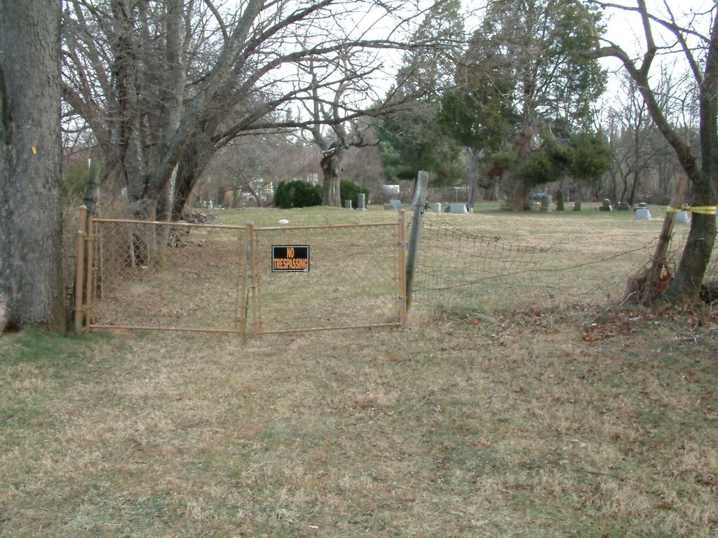
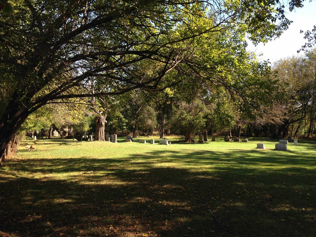
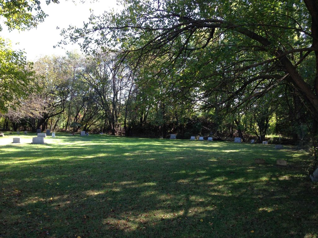
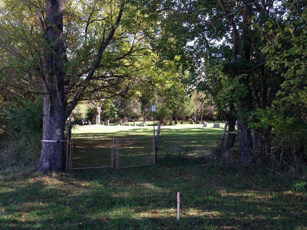
| Description | : | Latitude: 39.11864, Longitude: -77.15808 To reach this cemetery from Rockville, travel north on Rte 355, Frederick Road, turn right on Redland Road, pass over the metro/railroad bridge, turn right, at the bottom of the hill, on Yellowstone Way. The cemetery is located behind the south side of the Derwood Bible Church. This is a family and community cemetery with aprox 95-115 burials. Date range of burials are 1860s to the present. This cemetery is also known as the Ricketts Family Cemetery. |
frequently asked questions (FAQ):
-
Where is Derwood Cemetery?
Derwood Cemetery is located at 7821 Yellowstone Way Derwood, Montgomery County ,Maryland ,USA.
-
Derwood Cemetery cemetery's updated grave count on graveviews.com?
30 memorials
-
Where are the coordinates of the Derwood Cemetery?
Latitude: 39.1186400
Longitude: -77.1580800
Nearby Cemetories:
1. Crabb Family Cemetery
Derwood, Montgomery County, USA
Coordinate: 39.1151300, -77.1582400
2. Saint Lukes Lutheran Cemetery
Derwood, Montgomery County, USA
Coordinate: 39.1304800, -77.1494800
3. Lincoln Park Cemetery
Rockville, Montgomery County, USA
Coordinate: 39.0954300, -77.1452900
4. Martin Family Cemetery
Rockville, Montgomery County, USA
Coordinate: 39.0960100, -77.1428960
5. Haiti Cemetery
Rockville, Montgomery County, USA
Coordinate: 39.0931000, -77.1573100
6. Case-Kemp-Fraley Family Cemetery
Redland, Montgomery County, USA
Coordinate: 39.1479170, -77.1455280
7. Emory Grove Cemetery Old
Emory Grove, Montgomery County, USA
Coordinate: 39.1489032, -77.1679060
8. DeSellum Family Cemetery
Gaithersburg, Montgomery County, USA
Coordinate: 39.1325400, -77.1962900
9. Episcopal Church of the Ascension Columbarium
Gaithersburg, Montgomery County, USA
Coordinate: 39.1364021, -77.1947021
10. Flower Hill Church of the Brethren Cemetery
Gaithersburg, Montgomery County, USA
Coordinate: 39.1519200, -77.1522600
11. Prather Family Cemetery
Montgomery County, USA
Coordinate: 39.1133330, -77.1147220
12. Rockville United Methodist Church Columbarium
Rockville, Montgomery County, USA
Coordinate: 39.0839060, -77.1554180
13. Rockville Baptist Cemetery
Rockville, Montgomery County, USA
Coordinate: 39.0835400, -77.1562300
14. Emory Grove United Methodist Church Cemetery
Gaithersburg, Montgomery County, USA
Coordinate: 39.1537600, -77.1681300
15. Christ Episcopal Church Columbarium
Rockville, Montgomery County, USA
Coordinate: 39.0823100, -77.1528500
16. Old Saint Mary's Catholic Church Cemetery
Rockville, Montgomery County, USA
Coordinate: 39.0819830, -77.1453850
17. Avery Road Colored Cemetery
Rockville, Montgomery County, USA
Coordinate: 39.0897220, -77.1255560
18. Cooke Family Cemetery
Derwood, Montgomery County, USA
Coordinate: 39.1568700, -77.1460800
19. Saffell Family Cemetery
Gaithersburg, Montgomery County, USA
Coordinate: 39.1540140, -77.1850030
20. Rockville Cemetery
Rockville, Montgomery County, USA
Coordinate: 39.0844002, -77.1260986
21. New Saint Mary's Catholic Church Cemetery
Rockville, Montgomery County, USA
Coordinate: 39.0830994, -77.1268997
22. Forest Oak Cemetery
Gaithersburg, Montgomery County, USA
Coordinate: 39.1453000, -77.2036000
23. Montgomery County Poor Farm Cemetery
Rockville, Montgomery County, USA
Coordinate: 39.0727400, -77.1540500
24. Owen Family Cemetery
Olney, Montgomery County, USA
Coordinate: 39.1362800, -77.0969200