| Memorials | : | 511 |
| Location | : | Rockville, Montgomery County, USA |
| Coordinate | : | 39.0954300, -77.1452900 |
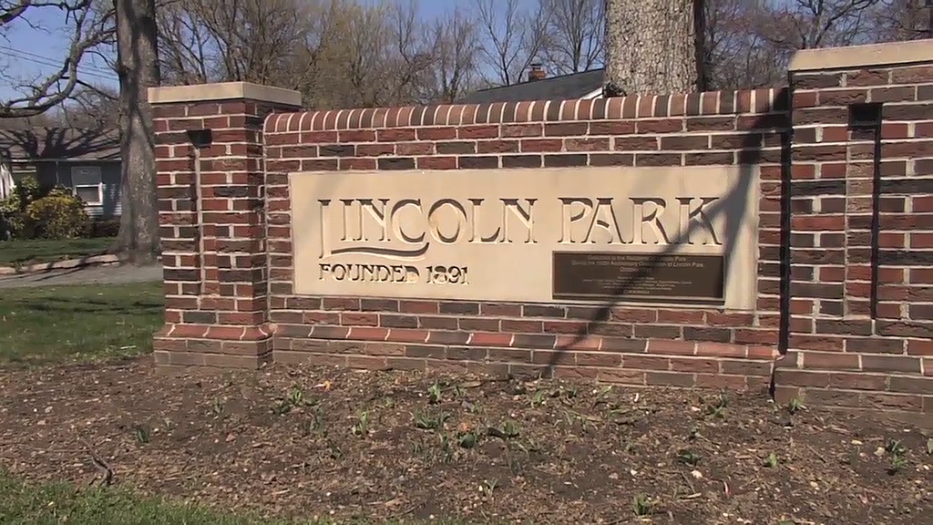
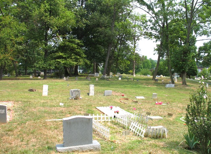
| Description | : | Lincoln Park is an historical Black cemetery established on June 12, 1917, when the Order of the Galilean Fisherman acquired the land. It is located where N. Horners Lane and Dover Road intersect in the municipality of Rockville, Maryland. Many interments in this cemetery are re-interments from the Mount Glory Baptist Church Cemetery, which existed at the intersection of MacArthur Boulevard and Clara Barton Parkway in Cropley, MD, before it was moved in 1963 by Snowden Funeral Home. |
frequently asked questions (FAQ):
-
Where is Lincoln Park Cemetery?
Lincoln Park Cemetery is located at Rockville, Montgomery County ,Maryland ,USA.
-
Lincoln Park Cemetery cemetery's updated grave count on graveviews.com?
511 memorials
-
Where are the coordinates of the Lincoln Park Cemetery?
Latitude: 39.0954300
Longitude: -77.1452900
Nearby Cemetories:
1. Martin Family Cemetery
Rockville, Montgomery County, USA
Coordinate: 39.0960100, -77.1428960
2. Haiti Cemetery
Rockville, Montgomery County, USA
Coordinate: 39.0931000, -77.1573100
3. Old Saint Mary's Catholic Church Cemetery
Rockville, Montgomery County, USA
Coordinate: 39.0819830, -77.1453850
4. Rockville United Methodist Church Columbarium
Rockville, Montgomery County, USA
Coordinate: 39.0839060, -77.1554180
5. Christ Episcopal Church Columbarium
Rockville, Montgomery County, USA
Coordinate: 39.0823100, -77.1528500
6. Rockville Baptist Cemetery
Rockville, Montgomery County, USA
Coordinate: 39.0835400, -77.1562300
7. Avery Road Colored Cemetery
Rockville, Montgomery County, USA
Coordinate: 39.0897220, -77.1255560
8. Rockville Cemetery
Rockville, Montgomery County, USA
Coordinate: 39.0844002, -77.1260986
9. New Saint Mary's Catholic Church Cemetery
Rockville, Montgomery County, USA
Coordinate: 39.0830994, -77.1268997
10. Crabb Family Cemetery
Derwood, Montgomery County, USA
Coordinate: 39.1151300, -77.1582400
11. Montgomery County Poor Farm Cemetery
Rockville, Montgomery County, USA
Coordinate: 39.0727400, -77.1540500
12. Derwood Cemetery
Derwood, Montgomery County, USA
Coordinate: 39.1186400, -77.1580800
13. Rockville United Church Memorial Garden
Rockville, Montgomery County, USA
Coordinate: 39.0783570, -77.1158440
14. Prather Family Cemetery
Montgomery County, USA
Coordinate: 39.1133330, -77.1147220
15. Saint Lukes Lutheran Cemetery
Derwood, Montgomery County, USA
Coordinate: 39.1304800, -77.1494800
16. Faith United Methodist Church Memorial Garden
Rockville, Montgomery County, USA
Coordinate: 39.0536300, -77.1392600
17. Parklawn Memorial Park and Menorah Gardens
Rockville, Montgomery County, USA
Coordinate: 39.0639000, -77.1091995
18. Higgins Family Cemetery
Rockville, Montgomery County, USA
Coordinate: 39.0597400, -77.1162300
19. Mount Pleasant Methodist Church Cemetery
Norbeck, Montgomery County, USA
Coordinate: 39.1104800, -77.0810960
20. Case-Kemp-Fraley Family Cemetery
Redland, Montgomery County, USA
Coordinate: 39.1479170, -77.1455280
21. DeSellum Family Cemetery
Gaithersburg, Montgomery County, USA
Coordinate: 39.1325400, -77.1962900
22. Aspin Hill Memorial Park
Silver Spring, Montgomery County, USA
Coordinate: 39.0799600, -77.0772300
23. Owen Family Cemetery
Olney, Montgomery County, USA
Coordinate: 39.1362800, -77.0969200
24. Episcopal Church of the Ascension Columbarium
Gaithersburg, Montgomery County, USA
Coordinate: 39.1364021, -77.1947021


