| Memorials | : | 0 |
| Location | : | Tutzing, Landkreis Starnberg, Germany |
| Coordinate | : | 47.8852196, 11.2217464 |
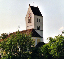
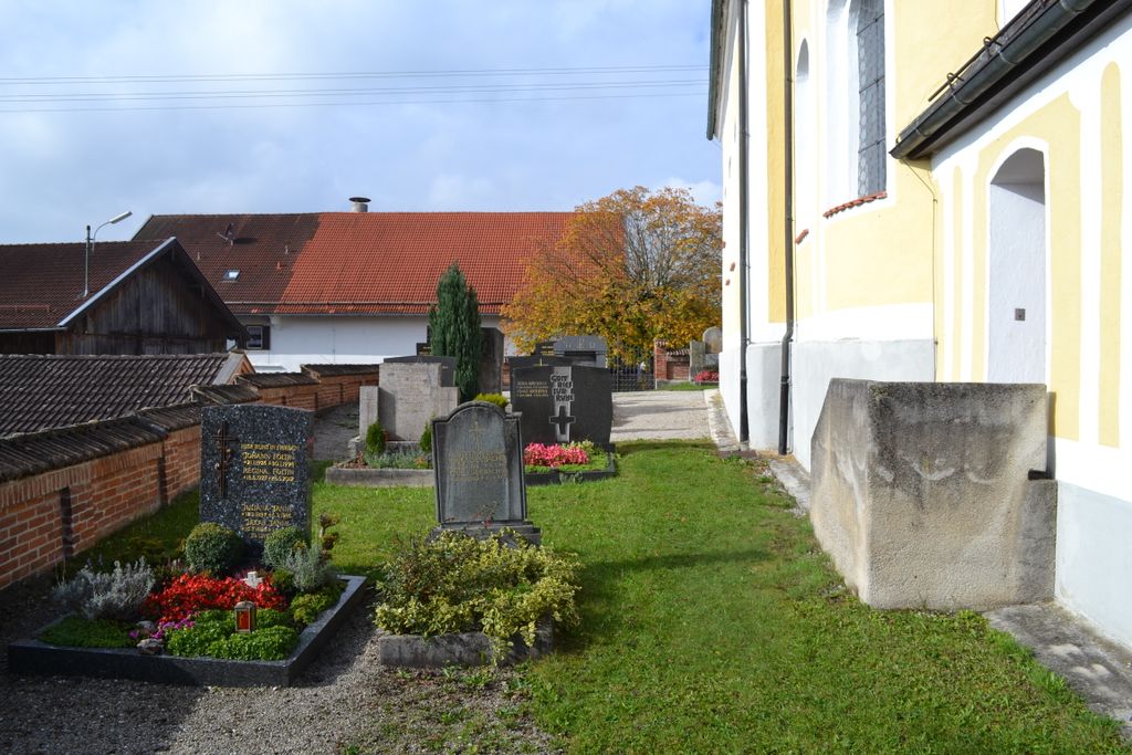
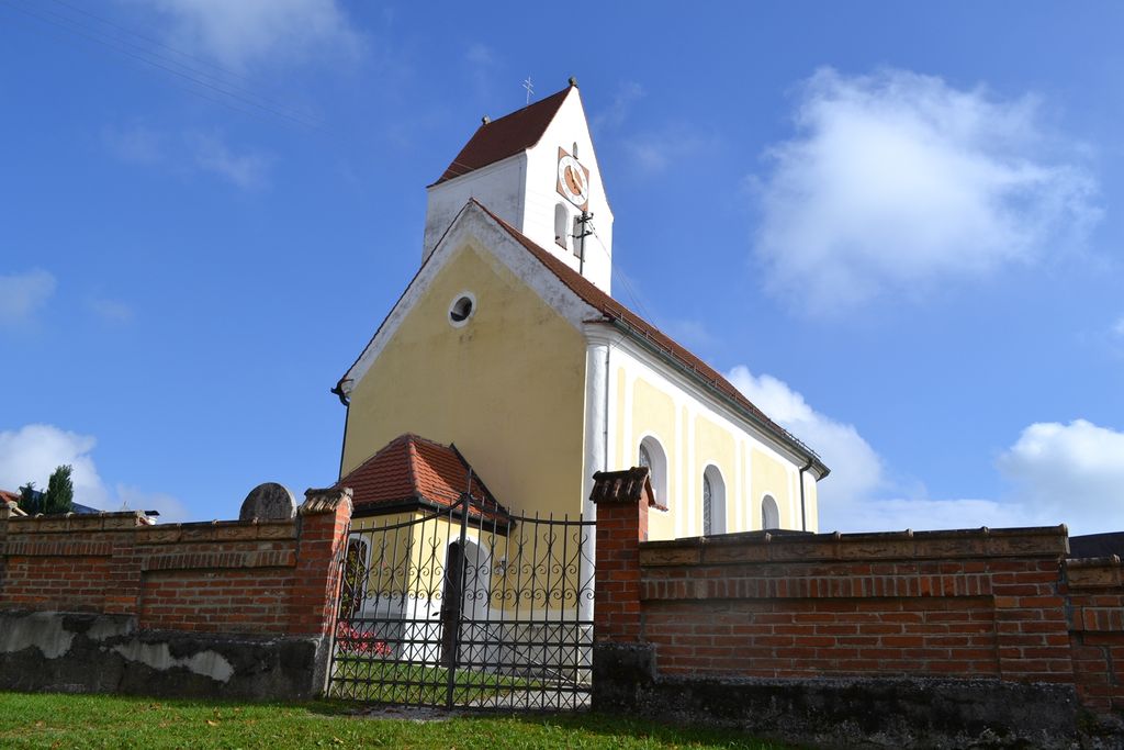
| Description | : | The Diemendorf hamlet dates back to the 12th century. Since the mid 1960's it belongs to the administrative district of Tutzing on the Western shore of Starnberg Lake, about 25 miles South of Munich. The church inside the cemetery is dedicated to St. Margarethe. As often in Germany the cemetery and the church/chapel inside have different names. PLEASE NOTE: Unlike American cemeteries, due to lack of space, the "final" resting places in Germany are not eternal. The plots are usually leased (subscribed to) for a certain period of time (15-25 years). After that it depends on the descendants (or the community if... Read More |
frequently asked questions (FAQ):
-
Where is Diemendorf Friedhof Tutzing?
Diemendorf Friedhof Tutzing is located at Tutzing, Landkreis Starnberg ,Bavaria (Bayern) , 82327Germany.
-
Diemendorf Friedhof Tutzing cemetery's updated grave count on graveviews.com?
0 memorials
-
Where are the coordinates of the Diemendorf Friedhof Tutzing?
Latitude: 47.8852196
Longitude: 11.2217464
Nearby Cemetories:
1. Friedhof Ilkahöhe
Tutzing, Landkreis Starnberg, Germany
Coordinate: 47.8994350, 11.2545720
2. Friedhof Wilzhofen
Wilzhofen, Landkreis Weilheim-Schongau, Germany
Coordinate: 47.8796960, 11.1833250
3. Waldfriedhof Tutzing
Tutzing, Landkreis Starnberg, Germany
Coordinate: 47.9123001, 11.2679996
4. Hohenried Cemetery
Bernried, Landkreis Weilheim-Schongau, Germany
Coordinate: 47.8770865, 11.2854587
5. Neuer Friedhof Tutzing
Tutzing, Landkreis Starnberg, Germany
Coordinate: 47.9118004, 11.2749996
6. Alter Friedhof
Tutzing, Landkreis Starnberg, Germany
Coordinate: 47.9070015, 11.2810001
7. Friedhof Bernried
Bernried, Landkreis Weilheim-Schongau, Germany
Coordinate: 47.8661700, 11.2948530
8. Traubing New Cemetery
Tutzing, Landkreis Starnberg, Germany
Coordinate: 47.9450531, 11.2541561
9. Kirchenfriedhof Traubing
Tutzing, Landkreis Starnberg, Germany
Coordinate: 47.9440918, 11.2582502
10. St. Salvator and Sebastian Churchyard
Weilheim in Oberbayern, Landkreis Weilheim-Schongau, Germany
Coordinate: 47.8413490, 11.1485280
11. Gemeindefriedhof Seeshaupt
Seeshaupt, Landkreis Weilheim-Schongau, Germany
Coordinate: 47.8261940, 11.2893100
12. Jüdischer Friedhof Feldafing
Feldafing, Landkreis Starnberg, Germany
Coordinate: 47.9525620, 11.2938840
13. Friedhof Feldafing
Feldafing, Landkreis Starnberg, Germany
Coordinate: 47.9526900, 11.2943300
14. Friedhof Aschering
Pocking, Landkreis Starnberg, Germany
Coordinate: 47.9659958, 11.2569561
15. Wittelsbacher Friedhof
Andechs, Landkreis Starnberg, Germany
Coordinate: 47.9742012, 11.1823654
16. Klosterkirche Andechs
Andechs, Landkreis Starnberg, Germany
Coordinate: 47.9744200, 11.1823500
17. Neuer Friedhof Pöcking
Pocking, Landkreis Starnberg, Germany
Coordinate: 47.9680099, 11.2987900
18. Alter Friedhof Pöcking
Pocking, Landkreis Starnberg, Germany
Coordinate: 47.9673424, 11.3019686
19. Neuer Friedhof Münsing
Münsing, Landkreis Bad Tölz-Wolfratshausen, Germany
Coordinate: 47.9016105, 11.3668153
20. St. Heinrich am Starnberger See
Eurasburg, Landkreis Bad Tölz-Wolfratshausen, Germany
Coordinate: 47.8249112, 11.3382042
21. Kirchhof Mariä Himmelfahrt
Münsing, Landkreis Bad Tölz-Wolfratshausen, Germany
Coordinate: 47.9033796, 11.3669874
22. Friedhof Diessen am Ammersee
Diessen am Ammersee, Landkreis Landsberg am Lech, Germany
Coordinate: 47.9455185, 11.1033106
23. Marienmünster Dießen
Diessen am Ammersee, Landkreis Landsberg am Lech, Germany
Coordinate: 47.9482500, 11.0974500
24. St. Georgenfriedhof Diessen am Ammersee
Diessen am Ammersee, Landkreis Landsberg am Lech, Germany
Coordinate: 47.9440346, 11.0878973


