
| Memorials | : | 0 |
| Location | : | Sudwest Fryslan Municipality, Netherlands |
| Website | : | www.kerkboazum.nl/ |
| Coordinate | : | 53.0900008, 5.6961870 |
| Description | : | Small protestant church cemetery of 546 graves. About 2/3 of the graves are in use. |
frequently asked questions (FAQ):
-
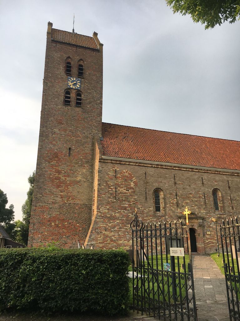
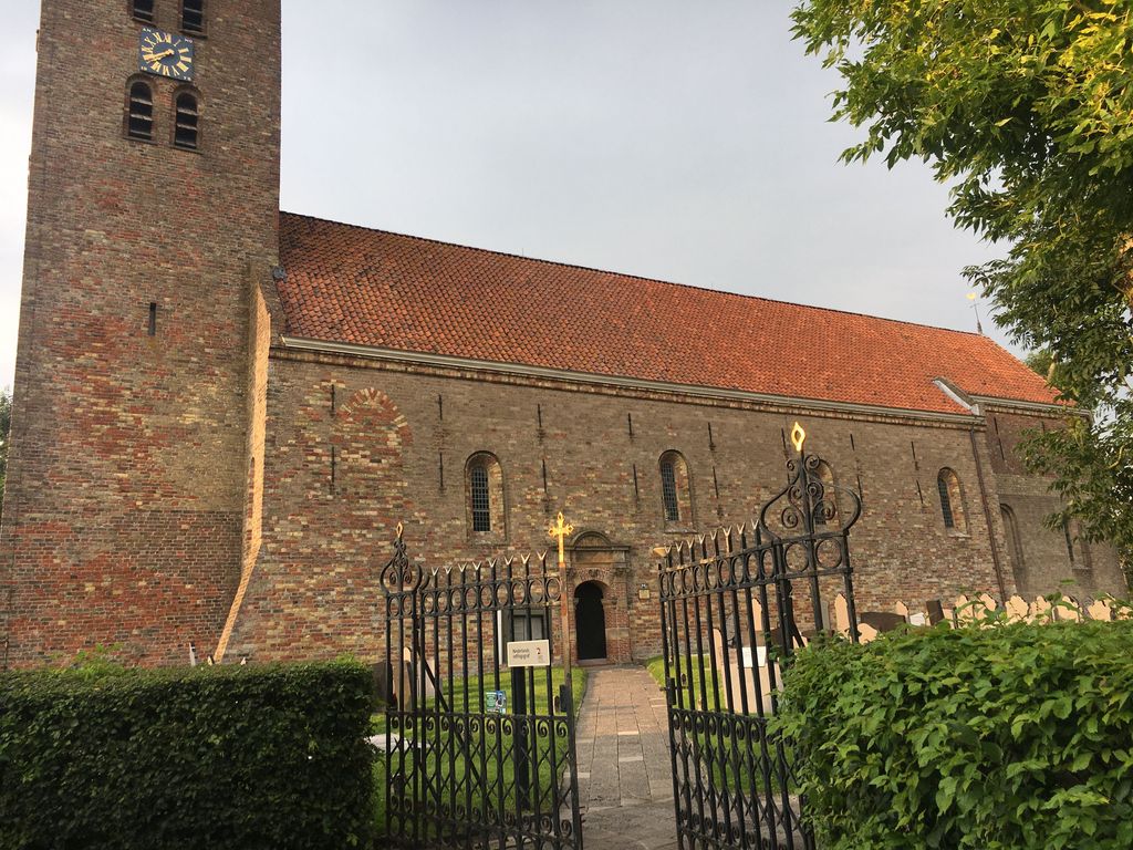
Where is Sint-MartinusKerk?
Sint-MartinusKerk is located at Tsjerkebuorren 1, 8635 MC Boazum, Netherlands Sudwest Fryslan Municipality ,Friesland ,Netherlands.
-
Sint-MartinusKerk cemetery's updated grave count on graveviews.com?
0 memorials
-
Where are the coordinates of the Sint-MartinusKerk?
Latitude: 53.0900008
Longitude: 5.6961870
Nearby Cemetories:
1. Schillaard General Cemetery
Schillaard, Littenseradiel Municipality, Netherlands
Coordinate: 53.1237600, 5.7074600
2. Tirns Kerkhof
Tirns, Sudwest Fryslan Municipality, Netherlands
Coordinate: 53.0589810, 5.6260940
3. Kerkhof
Baard, Littenseradiel Municipality, Netherlands
Coordinate: 53.1423432, 5.6684373
4. Oude Joodse Begraafplaats
Sneek, Sudwest Fryslan Municipality, Netherlands
Coordinate: 53.0362600, 5.6740600
5. Redbadtsjerke churchyard
Jorwerd, Littenseradiel Municipality, Netherlands
Coordinate: 53.1457503, 5.7113044
6. Rooms-Katholiek Kerkhof Jirnsum
Jirnsum, Leeuwarden Municipality, Netherlands
Coordinate: 53.0815796, 5.7954741
7. Mariatsjerke
Beers, Littenseradiel Municipality, Netherlands
Coordinate: 53.1558525, 5.7329919
8. Kerkepad Begraafplaats
Wytgaard, Leeuwarden Municipality, Netherlands
Coordinate: 53.1418671, 5.7857350
9. Grouw Begraafplaats
Grou, Leeuwarden Municipality, Netherlands
Coordinate: 53.0943700, 5.8365700
10. Wirdum Protestant Churchyard
Wirdum, Leeuwarden Municipality, Netherlands
Coordinate: 53.1497300, 5.8036500
11. Johanneskerk - Protestantse Gemeente Tzum
Tzum, Franekeradeel Municipality, Netherlands
Coordinate: 53.1589801, 5.5629124
12. Algemene Begraafplaats
Bolsward, Sudwest Fryslan Municipality, Netherlands
Coordinate: 53.0677100, 5.5214800
13. Agnestsjerke
Goutum, Leeuwarden Municipality, Netherlands
Coordinate: 53.1786867, 5.8068433
14. Kerkhof Salviuskerk / 'd Alde Wite
Dronrijp, Menaldumadeel Municipality, Netherlands
Coordinate: 53.1967232, 5.6435867
15. Rooms-Katholiek Kerkhof St. Vituskerk
Blauwhuis, Sudwest Fryslan Municipality, Netherlands
Coordinate: 53.0228265, 5.5340636
16. Stevenskerk kerkhof
Skingen, Menaldumadeel Municipality, Netherlands
Coordinate: 53.2022626, 5.6179534
17. Sint-Pontianustsjerke
Marsum, Menaldumadeel Municipality, Netherlands
Coordinate: 53.2108700, 5.7280502
18. Algemene Rooms-Katholieke Begraafplaats Vitushof
Leeuwarden, Leeuwarden Municipality, Netherlands
Coordinate: 53.2061700, 5.7694100
19. Tsjerkhôf Menaam
Menaam, Menaldumadeel Municipality, Netherlands
Coordinate: 53.2161718, 5.6616600
20. Sint Gertrudistsjerke
Peins, Franekeradeel Municipality, Netherlands
Coordinate: 53.2059212, 5.5950833
21. Wartena General Cemetery
Wartena, Leeuwarden Municipality, Netherlands
Coordinate: 53.1489700, 5.8919100
22. Dionysiustsjerke
Slappeterp, Menaldumadeel Municipality, Netherlands
Coordinate: 53.2136468, 5.6199275
23. Joodse begraafplaats
Leeuwarden, Leeuwarden Municipality, Netherlands
Coordinate: 53.2089720, 5.7912400
24. Leeuwarden Noorderbegraafplaats
Leeuwarden, Leeuwarden Municipality, Netherlands
Coordinate: 53.2135900, 5.7733900