| Memorials | : | 1 |
| Location | : | Archbold, Fulton County, USA |
| Coordinate | : | 41.5558014, -84.3677979 |
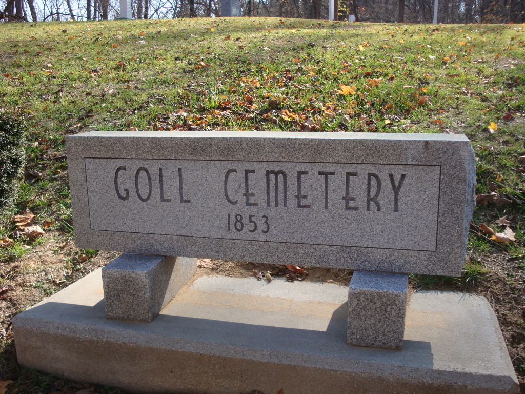
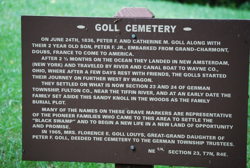
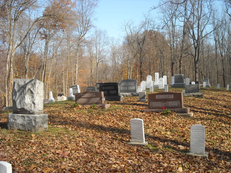
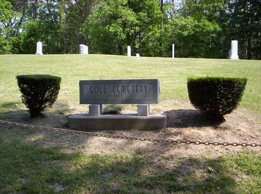
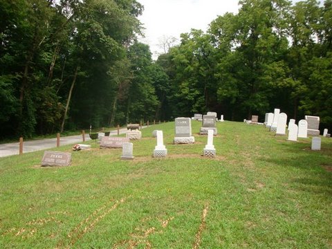
| Description | : | The Goll Cemetery is located one mile south and three and one-half miles west of the village of Burlington, in the Goll Woods Nature Park. The three-quarter acre burial ground is east of Township Road 26. Peter and Catherine Goll emigrated to Ohio from Grand-Charmont, Doub, France in 1836. They settled on Sections 23 and 24 of German Township, near the Tiffin River, and at an early date the family set aside a sandy knoll in the woods as a burial ground. The first buried at the cemetery was a small child whose name is no longer known. In 1865,... Read More |
frequently asked questions (FAQ):
-
Where is Goll Cemetery?
Goll Cemetery is located at County Road EF Archbold, Fulton County ,Ohio , 43557USA.
-
Goll Cemetery cemetery's updated grave count on graveviews.com?
1 memorials
-
Where are the coordinates of the Goll Cemetery?
Latitude: 41.5558014
Longitude: -84.3677979
Nearby Cemetories:
1. Lockport Cemetery
Stryker, Williams County, USA
Coordinate: 41.5466690, -84.3927765
2. Johnson Cemetery
Burlington, Fulton County, USA
Coordinate: 41.5791230, -84.3308020
3. Beatty Cemetery
West Unity, Williams County, USA
Coordinate: 41.5881970, -84.3954710
4. Floral Grove Cemetery
West Unity, Williams County, USA
Coordinate: 41.5708008, -84.4158020
5. Rings Cemetery
West Unity, Williams County, USA
Coordinate: 41.5928680, -84.4288400
6. Saint Peters Cemetery
Archbold, Fulton County, USA
Coordinate: 41.5428009, -84.2882996
7. Quaker Cemetery
West Unity, Williams County, USA
Coordinate: 41.6155770, -84.3834280
8. Ely Cemetery
West Unity, Williams County, USA
Coordinate: 41.6135630, -84.3939880
9. Bodel Cemetery
Stryker, Williams County, USA
Coordinate: 41.5277080, -84.4495600
10. Reform Cemetery
Archbold, Fulton County, USA
Coordinate: 41.5039790, -84.3061070
11. West Franklin Cemetery
Fayette, Fulton County, USA
Coordinate: 41.6224400, -84.3940900
12. Archbold Cemetery
Archbold, Fulton County, USA
Coordinate: 41.5028000, -84.3058014
13. Ely Cemetery
Fayette, Fulton County, USA
Coordinate: 41.6255989, -84.3824997
14. Oakwood Cemetery
Stryker, Williams County, USA
Coordinate: 41.4978900, -84.4274700
15. Wyse Cemetery
Fulton County, USA
Coordinate: 41.5647820, -84.2686700
16. Beck Cemetery
Fulton County, USA
Coordinate: 41.5648620, -84.2682880
17. Lauber Hill Cemetery
Fulton County, USA
Coordinate: 41.5742410, -84.2681490
18. Saint James Lutheran Cemetery
Burlington, Fulton County, USA
Coordinate: 41.5428009, -84.2630997
19. French Cemetery
Springfield Township, Williams County, USA
Coordinate: 41.5039100, -84.4485500
20. Rupp Cemetery
Archbold, Fulton County, USA
Coordinate: 41.5140110, -84.2771370
21. Kunkle Cemetery
Williams County, USA
Coordinate: 41.5561150, -84.4762400
22. Eckley Cemetery
Eckley, Fulton County, USA
Coordinate: 41.5641600, -84.2491200
23. Beaver Creek Cemetery
West Unity, Williams County, USA
Coordinate: 41.6011009, -84.4738998
24. Boynton Cemetery
Stryker, Williams County, USA
Coordinate: 41.4782982, -84.4389038

