
| Memorials | : | 0 |
| Location | : | Dyer, Gibson County, USA |
| Coordinate | : | 36.0951100, -89.0348700 |
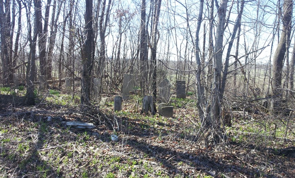
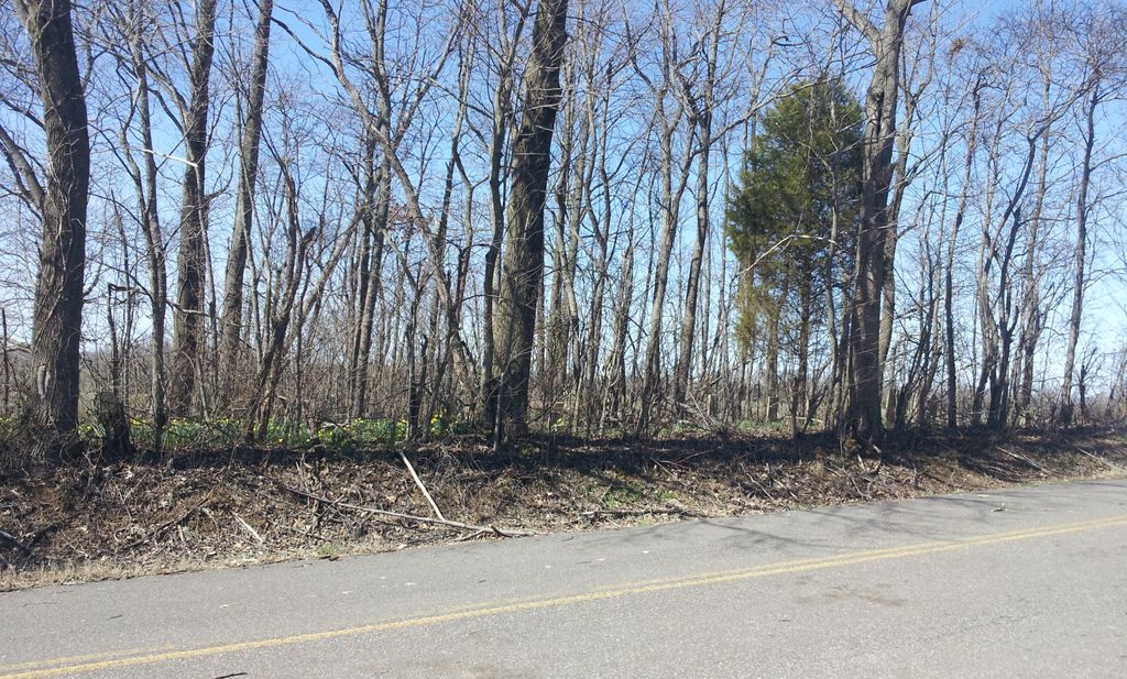
| Description | : | From the intersection of TN-77 & N. Main St in Dyer, travel west on TN-77/Yorkville St. for 2.1 mi., turning north (right) onto Tollie Gordon Rd., going 1.4 mi., to the cemetery in a small wooded thicket on the west (left) side of the road. It is directly across from 2 houses, one being a mobile home at 148 Tollie Gordon Rd. |
frequently asked questions (FAQ):
-
Where is Flowers - Wright Cemetery?
Flowers - Wright Cemetery is located at 151 Tollie Gordon Rd Dyer, Gibson County ,Tennessee , 38330USA.
-
Flowers - Wright Cemetery cemetery's updated grave count on graveviews.com?
0 memorials
-
Where are the coordinates of the Flowers - Wright Cemetery?
Latitude: 36.0951100
Longitude: -89.0348700
Nearby Cemetories:
1. Taylor Family Cemetery
Rutherford, Gibson County, USA
Coordinate: 36.1049700, -89.0226300
2. Mount Olive Cemetery
Dyer, Gibson County, USA
Coordinate: 36.0807991, -89.0278015
3. Wilkes Cemetery
Rutherford, Gibson County, USA
Coordinate: 36.1097380, -89.0214500
4. Thompson Cemetery
Rutherford, Gibson County, USA
Coordinate: 36.1047220, -89.0553430
5. Flowers Chapel Cemetery
Rutherford, Gibson County, USA
Coordinate: 36.1198820, -89.0265080
6. Crenshaw-Wyatt Cemetery
Dyer, Gibson County, USA
Coordinate: 36.0778090, -89.0589010
7. Cowan Cemetery
Dyer, Gibson County, USA
Coordinate: 36.0978120, -89.0753020
8. Bells Chapel Cemetery
Dyer, Gibson County, USA
Coordinate: 36.1164017, -89.0686035
9. Hopper Cemetery
Dyer, Gibson County, USA
Coordinate: 36.0936200, -88.9878680
10. Rutherford Cemetery
Rutherford, Gibson County, USA
Coordinate: 36.1258011, -88.9989014
11. Bobbitt Cemetery
Dyer, Gibson County, USA
Coordinate: 36.0774994, -88.9850006
12. Good Hope Cemetery
Dyer, Gibson County, USA
Coordinate: 36.0477982, -89.0438995
13. Liberty Grove Cemetery
Rutherford, Gibson County, USA
Coordinate: 36.1439760, -89.0371100
14. Oakwood Cemetery
Dyer, Gibson County, USA
Coordinate: 36.0619011, -88.9875031
15. Keas Cemetery
Dyer, Gibson County, USA
Coordinate: 36.0769005, -88.9757996
16. Crockett Memorial Plot
Rutherford, Gibson County, USA
Coordinate: 36.1299620, -88.9871980
17. Carroll Cemetery
Rutherford, Gibson County, USA
Coordinate: 36.1453900, -89.0140800
18. Clear Creek Cemetery
Currie, Gibson County, USA
Coordinate: 36.0400009, -89.0299988
19. Apostolic Faith Tabernacle Cemetery
Dyer, Gibson County, USA
Coordinate: 36.0732460, -88.9674180
20. Balentine Family Cemetery
Dyer, Gibson County, USA
Coordinate: 36.0544690, -89.0928070
21. Duck Hill Cemetery
Trenton, Gibson County, USA
Coordinate: 36.0331001, -89.0413971
22. Hall Family Cemetery
Dyer, Gibson County, USA
Coordinate: 36.0302900, -89.0393600
23. Old Bluff Cemetery
Rutherford, Gibson County, USA
Coordinate: 36.1417870, -88.9751880
24. Bethel Cemetery
Yorkville, Gibson County, USA
Coordinate: 36.0871370, -89.1178680