
| Memorials | : | 0 |
| Location | : | Rutherford, Gibson County, USA |
| Coordinate | : | 36.1097380, -89.0214500 |
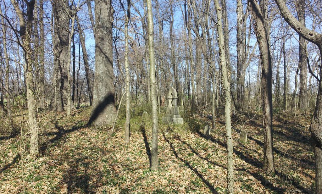
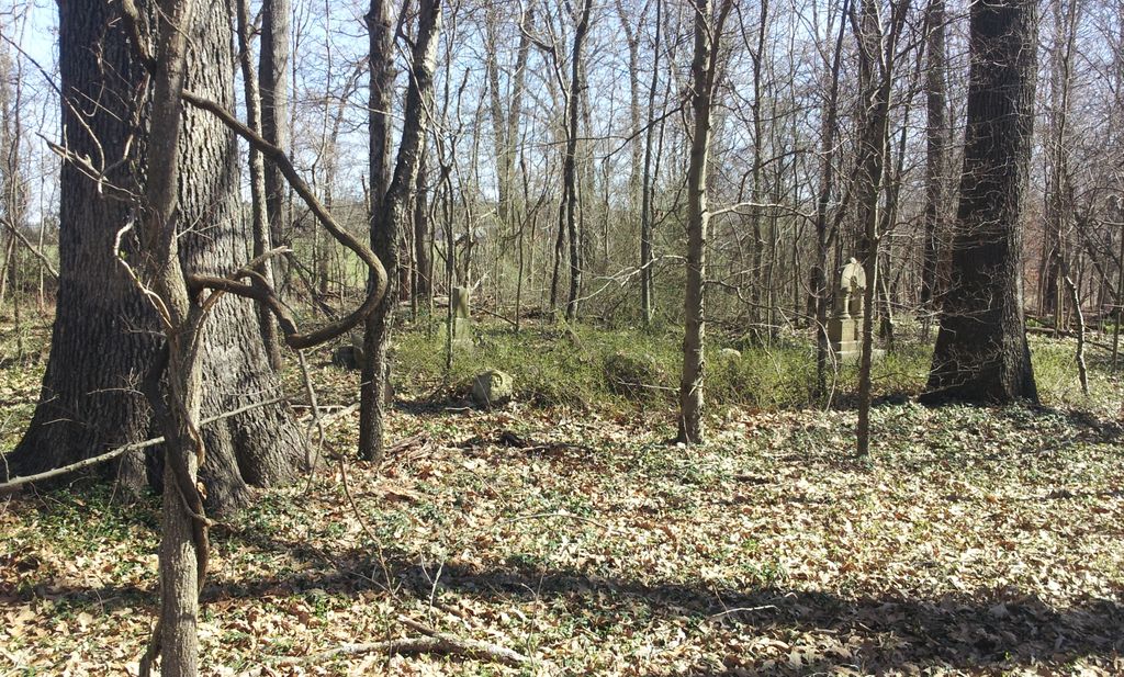
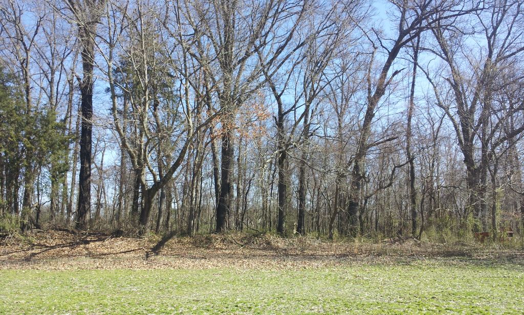
| Description | : | From the intersection of US-45W & Old Bethleham, 0.4 mi. from the Rutherford exit, travel south for 0.4 mi., turning west (right) onto Charles Morris Rd., following 0.9 mi., turning west (right) onto Lee Brown Rd., going 0.3 mi. to a point about 100 yd. past a fence row. The cemetery is due north from this point at the wooded area back, at the north fence row. |
frequently asked questions (FAQ):
-
Where is Wilkes Cemetery?
Wilkes Cemetery is located at Hamp-Taylor Rd Rutherford, Gibson County ,Tennessee , 38369USA.
-
Wilkes Cemetery cemetery's updated grave count on graveviews.com?
0 memorials
-
Where are the coordinates of the Wilkes Cemetery?
Latitude: 36.1097380
Longitude: -89.0214500
Nearby Cemetories:
1. Taylor Family Cemetery
Rutherford, Gibson County, USA
Coordinate: 36.1049700, -89.0226300
2. Flowers Chapel Cemetery
Rutherford, Gibson County, USA
Coordinate: 36.1198820, -89.0265080
3. Flowers - Wright Cemetery
Dyer, Gibson County, USA
Coordinate: 36.0951100, -89.0348700
4. Rutherford Cemetery
Rutherford, Gibson County, USA
Coordinate: 36.1258011, -88.9989014
5. Thompson Cemetery
Rutherford, Gibson County, USA
Coordinate: 36.1047220, -89.0553430
6. Mount Olive Cemetery
Dyer, Gibson County, USA
Coordinate: 36.0807991, -89.0278015
7. Hopper Cemetery
Dyer, Gibson County, USA
Coordinate: 36.0936200, -88.9878680
8. Crockett Memorial Plot
Rutherford, Gibson County, USA
Coordinate: 36.1299620, -88.9871980
9. Carroll Cemetery
Rutherford, Gibson County, USA
Coordinate: 36.1453900, -89.0140800
10. Liberty Grove Cemetery
Rutherford, Gibson County, USA
Coordinate: 36.1439760, -89.0371100
11. Bells Chapel Cemetery
Dyer, Gibson County, USA
Coordinate: 36.1164017, -89.0686035
12. Bobbitt Cemetery
Dyer, Gibson County, USA
Coordinate: 36.0774994, -88.9850006
13. Crenshaw-Wyatt Cemetery
Dyer, Gibson County, USA
Coordinate: 36.0778090, -89.0589010
14. Cowan Cemetery
Dyer, Gibson County, USA
Coordinate: 36.0978120, -89.0753020
15. Old Bluff Cemetery
Rutherford, Gibson County, USA
Coordinate: 36.1417870, -88.9751880
16. Keas Cemetery
Dyer, Gibson County, USA
Coordinate: 36.0769005, -88.9757996
17. New Victory MB Church Cemetery
Rutherford, Gibson County, USA
Coordinate: 36.1596780, -88.9978150
18. Oakwood Cemetery
Dyer, Gibson County, USA
Coordinate: 36.0619011, -88.9875031
19. Apostolic Faith Tabernacle Cemetery
Dyer, Gibson County, USA
Coordinate: 36.0732460, -88.9674180
20. Smithson-Askew Cemetery
Rutherford, Gibson County, USA
Coordinate: 36.1667300, -89.0159600
21. Keathley & Peel Family Cemetery
Gibson County, USA
Coordinate: 36.1651820, -88.9949470
22. Good Hope Cemetery
Dyer, Gibson County, USA
Coordinate: 36.0477982, -89.0438995
23. North Union Cemetery
Kenton, Gibson County, USA
Coordinate: 36.1652985, -89.0736008
24. Clear Creek Cemetery
Currie, Gibson County, USA
Coordinate: 36.0400009, -89.0299988