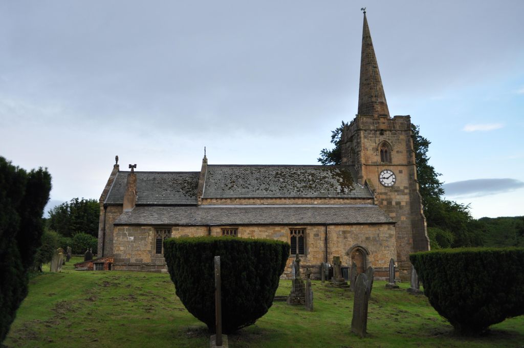
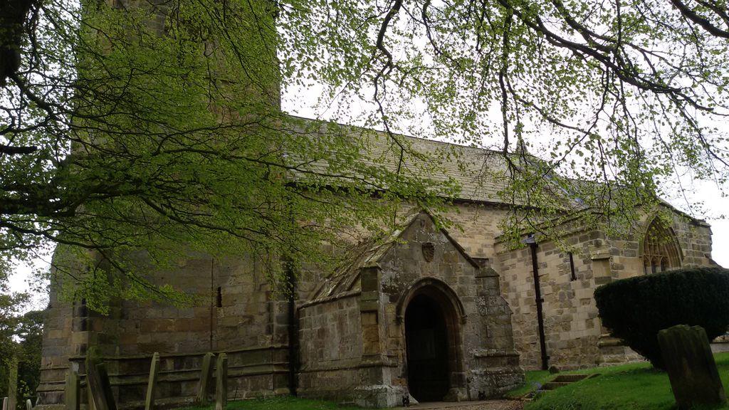
| Memorials | : | 3 |
| Location | : | Ganton, Ryedale District, England |
| Coordinate | : | 54.1846000, -0.4846000 |
| Description | : | The text below is taken from the British History Online website, which appears to be extracted from "A Topographical Dictinoary of England", by Samuel Lewis, published in 1848: GANTON (St. Nicholas), a parish, in the union of Scarborough, wapentake of Dickering, E. riding of York, 14 miles (E. N. E.) from Malton; containing, with the township of Potter-Brompton, 428 inhabitants. The parish comprises by computation 4000 acres, of which 700 are pasture and meadow, 270 woodland, and the remainder arable. Ganton Hall, a neat mansion encompassed by fine grounds, has long been the seat of the ancient family of Legard, of... Read More |
frequently asked questions (FAQ):
-
Where is St Nicholas Churchyard?
St Nicholas Churchyard is located at Main Street Ganton, Ryedale District ,North Yorkshire ,England.
-
St Nicholas Churchyard cemetery's updated grave count on graveviews.com?
3 memorials
-
Where are the coordinates of the St Nicholas Churchyard?
Latitude: 54.1846000
Longitude: -0.4846000
Nearby Cemetories:
1. St. Peter's Churchyard
Willerby, Ryedale District, England
Coordinate: 54.1984200, -0.4558500
2. St. Hilda Churchyard
Sherburn, Ryedale District, England
Coordinate: 54.1837400, -0.5311200
3. All Saints Church Cemetery
Brompton-by-Sawdon, Scarborough Borough, England
Coordinate: 54.2223100, -0.5500900
4. St Nicholas Churchyard
Foxholes, Ryedale District, England
Coordinate: 54.1297000, -0.4843000
5. Flixton Cemetery New
Folkton, Scarborough Borough, England
Coordinate: 54.2006600, -0.3934700
6. St. Helen’s & All Saints Churchyard
Wykeham, Scarborough Borough, England
Coordinate: 54.2372000, -0.5212000
7. St Martin Churchyard
Seamer, Scarborough Borough, England
Coordinate: 54.2361500, -0.4437100
8. St. Andrew's Churchyard
East Heslerton, Ryedale District, England
Coordinate: 54.1772500, -0.5825000
9. Fordon Churchyard
East Riding of Yorkshire Unitary Authority, England
Coordinate: 54.1610140, -0.3939100
10. All Saints Churchyard
Brompton-by-Sawdon, Scarborough Borough, England
Coordinate: 54.2262550, -0.5549320
11. St Matthew Churchyard
Hutton Buscel, Scarborough Borough, England
Coordinate: 54.2426410, -0.5071200
12. St John The Evangelist Churchyard
Folkton, Scarborough Borough, England
Coordinate: 54.2020400, -0.3865200
13. St Andrew Churchyard
Weaverthorpe, Ryedale District, England
Coordinate: 54.1267400, -0.5226800
14. St. John the Baptist Churchyard
East Ayton, Scarborough Borough, England
Coordinate: 54.2508900, -0.4792900
15. All Saints Churchyard
West Heslerton, Ryedale District, England
Coordinate: 54.1704100, -0.6057100
16. St Stephen Churchyard
Snainton, Scarborough Borough, England
Coordinate: 54.2286490, -0.5913720
17. Octon Crematorium
Langtoft, East Riding of Yorkshire Unitary Authority, England
Coordinate: 54.1089720, -0.4506760
18. St. John the Baptist Churchyard
Cayton, Scarborough Borough, England
Coordinate: 54.2346470, -0.3805180
19. Cayton Cemetery
Cayton, Scarborough Borough, England
Coordinate: 54.2314030, -0.3755910
20. St. John the Baptist Churchyard
Yedingham, Ryedale District, England
Coordinate: 54.2041744, -0.6320491
21. St. Mary's Church Luttons Ambo
West Lutton, Ryedale District, England
Coordinate: 54.1105340, -0.5779463
22. All Saints Churchyard
Hunmanby, Scarborough Borough, England
Coordinate: 54.1813770, -0.3219840
23. Woodlands Cemetery and Crematorium
Scarborough, Scarborough Borough, England
Coordinate: 54.2766640, -0.4428030
24. St Cuthbert Churchyard
Burton Fleming, East Riding of Yorkshire Unitary Authority, England
Coordinate: 54.1357420, -0.3431860


