
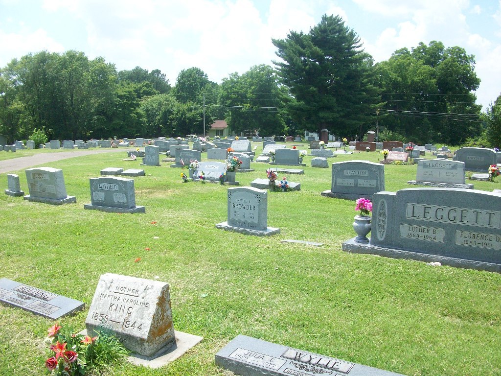
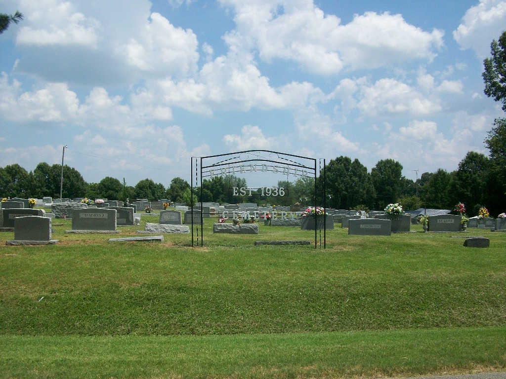
| Memorials | : | 496 |
| Location | : | Friendship, Crockett County, USA |
| Coordinate | : | 35.9146430, -89.2381450 |
| Description | : | From the intersection of Griffin Ln./Chestnut Bluff Rd. & US-412W, south of Friendship, travel northeast on Griffin Ln./Chestnut Bluff Rd. for 0.4 mi.; turning north (left) onto TN-189 N, going 0.9 mi.; turning east (right) into the driveway of this large 'deeded' cemetery, as notated on USGS topo maps. |
frequently asked questions (FAQ):
-
Where is Friendship Cemetery?
Friendship Cemetery is located at 7757 TN-189 Friendship, Crockett County ,Tennessee ,USA.
-
Friendship Cemetery cemetery's updated grave count on graveviews.com?
492 memorials
-
Where are the coordinates of the Friendship Cemetery?
Latitude: 35.9146430
Longitude: -89.2381450
Nearby Cemetories:
1. Bellevernon Cemetery
Friendship, Crockett County, USA
Coordinate: 35.9135830, -89.2495910
2. Bowen Chapel Cemetery
Friendship, Dyer County, USA
Coordinate: 35.9311810, -89.2353720
3. Mount Moriah Cemetery
Friendship, Crockett County, USA
Coordinate: 35.8955420, -89.2576300
4. Edwards Cemetery
Friendship, Crockett County, USA
Coordinate: 35.9314120, -89.2146810
5. Mount Zion Cemetery
Friendship, Crockett County, USA
Coordinate: 35.9131950, -89.2032590
6. Deaton Cemetery
Friendship, Crockett County, USA
Coordinate: 35.9350080, -89.2122640
7. Robertson-Warren Cemetery
Friendship, Crockett County, USA
Coordinate: 35.8830700, -89.2427200
8. Mose M. Thompson Cemetery
Friendship, Dyer County, USA
Coordinate: 35.9243680, -89.2765870
9. Hardin Cemetery
Friendship, Dyer County, USA
Coordinate: 35.9243270, -89.2766430
10. Nash Cemetery
Dyersburg, Dyer County, USA
Coordinate: 35.9252500, -89.2822230
11. Mays Chapel Cemetery
Friendship, Crockett County, USA
Coordinate: 35.9363540, -89.2006050
12. Old Dyer Church Cemetery
Friendship, Crockett County, USA
Coordinate: 35.8844600, -89.2101900
13. Allen Chapel Cemetery
Tigrett, Dyer County, USA
Coordinate: 35.9511400, -89.2207500
14. Hendrix Cemetery
Tigrett, Dyer County, USA
Coordinate: 35.9511500, -89.2206950
15. Williams Chapel Baptist Church Cemetery
Friendship, Crockett County, USA
Coordinate: 35.9258940, -89.1916320
16. Mount Pisgah Cemetery
Friendship, Dyer County, USA
Coordinate: 35.9162470, -89.2901740
17. Zion Hill Church Cemetery
Friendship, Dyer County, USA
Coordinate: 35.9095110, -89.2900760
18. Saint Peter Cemetery
Tigrett, Dyer County, USA
Coordinate: 35.9616440, -89.2520140
19. Staggs Cemetery
Friendship, Dyer County, USA
Coordinate: 35.9397930, -89.2896620
20. Jones Cemetery
Tigrett, Dyer County, USA
Coordinate: 35.9552230, -89.2747450
21. McGary Family Cemetery
Tigrett, Dyer County, USA
Coordinate: 35.9649530, -89.2501520
22. Browder Family Cemetery
Broadview, Crockett County, USA
Coordinate: 35.8646890, -89.2623010
23. Cock and Irvin Cemetery
Hawkinsville, Dyer County, USA
Coordinate: 35.9104430, -89.3046210
24. Perry Cemetery
Maury Junction, Crockett County, USA
Coordinate: 35.8675600, -89.2051410