
| Memorials | : | 0 |
| Location | : | Friendship, Dyer County, USA |
| Coordinate | : | 35.9162470, -89.2901740 |
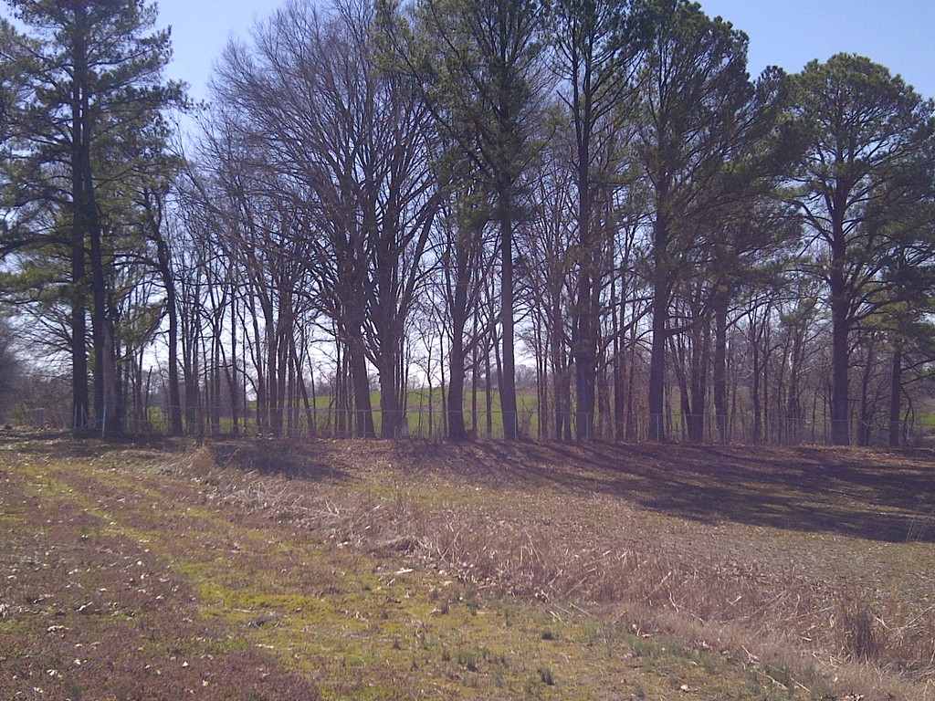
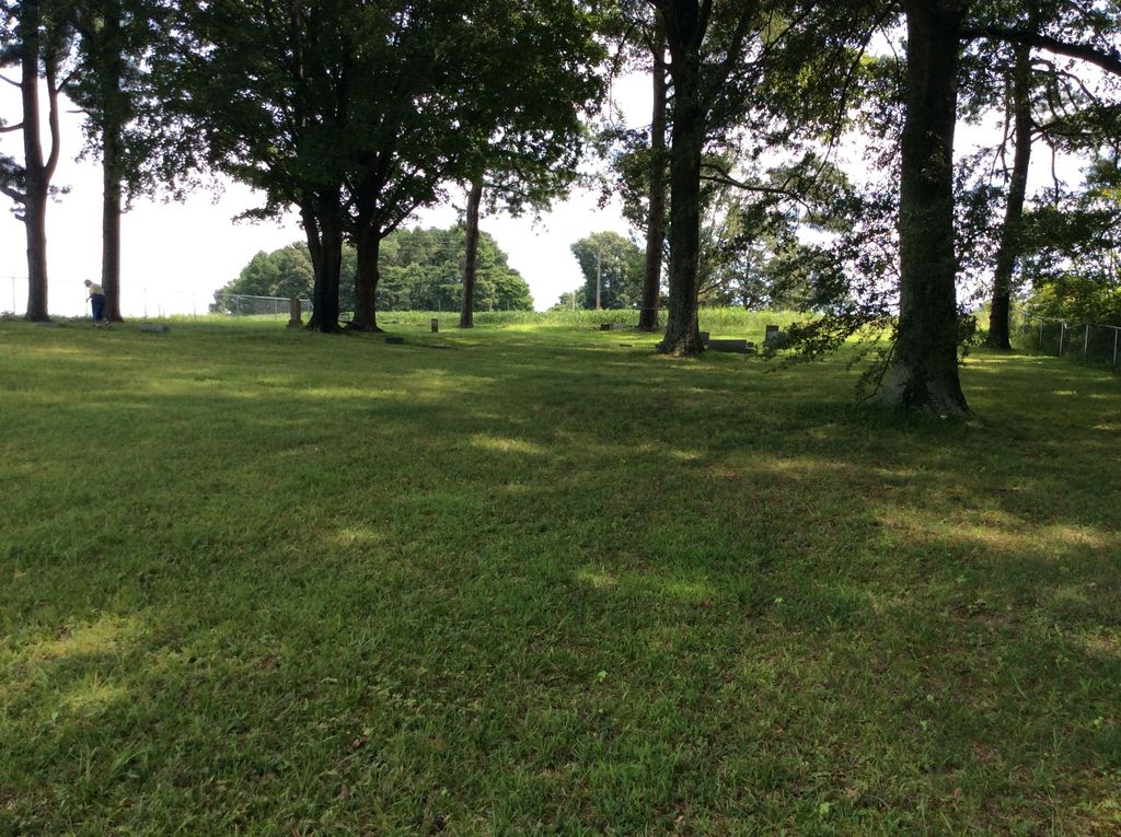
| Description | : | From the intersection of Blue Bird Rd. & US-412 S, west of Friendship, travel west on Blue Bird Rd. for 1.3 mi.; turning north (left) onto Bonicord Rd., going 0.1 mi.; turning northwest (half left) to stay on Bonicord Rd., going 0.4 mi.; turning west (left) onto Nash Rd., going 0.1 mi. to an overgrown wooded area on the north (right) side & to the cemetery within & to the rear. |
frequently asked questions (FAQ):
-
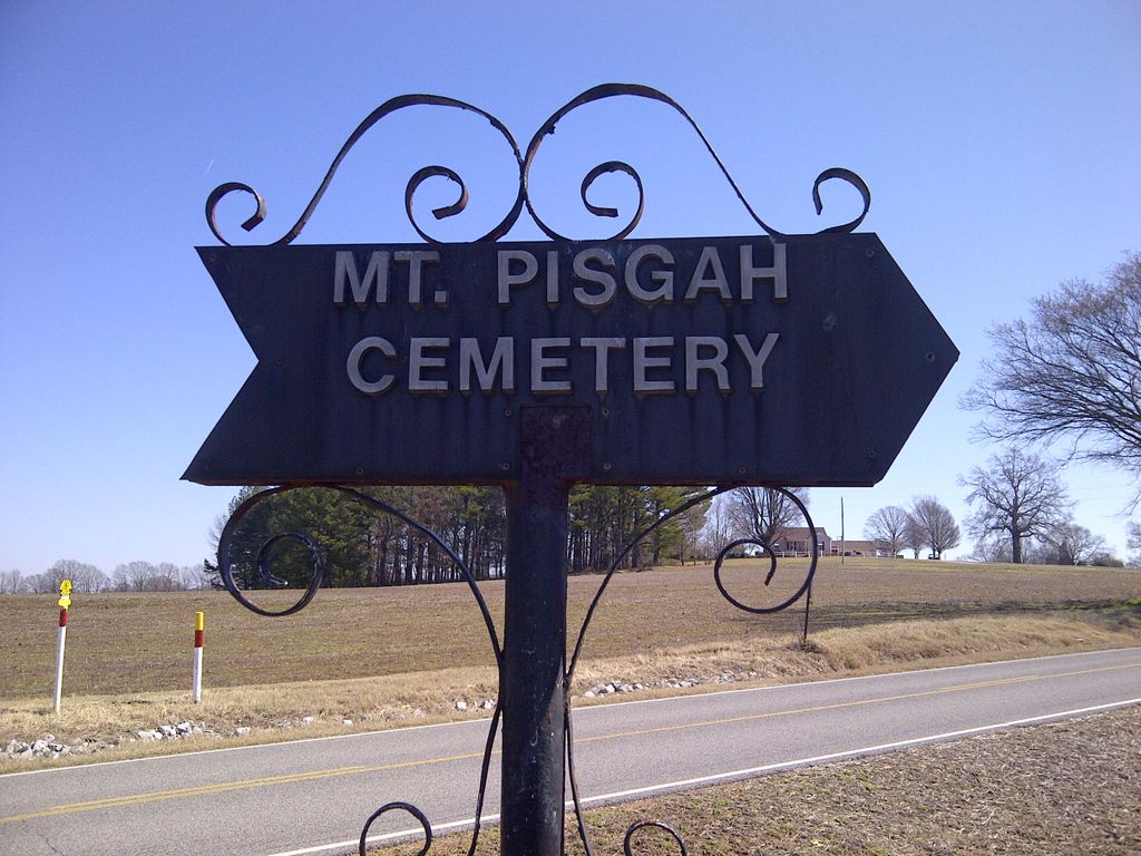
Where is Mount Pisgah Cemetery?
Mount Pisgah Cemetery is located at 137 Nash Rd Friendship, Dyer County ,Tennessee , 38034USA.
-
Mount Pisgah Cemetery cemetery's updated grave count on graveviews.com?
0 memorials
-
Where are the coordinates of the Mount Pisgah Cemetery?
Latitude: 35.9162470
Longitude: -89.2901740
Nearby Cemetories:
1. Zion Hill Church Cemetery
Friendship, Dyer County, USA
Coordinate: 35.9095110, -89.2900760
2. Nash Cemetery
Dyersburg, Dyer County, USA
Coordinate: 35.9252500, -89.2822230
3. Cock and Irvin Cemetery
Hawkinsville, Dyer County, USA
Coordinate: 35.9104430, -89.3046210
4. Hardin Cemetery
Friendship, Dyer County, USA
Coordinate: 35.9243270, -89.2766430
5. Mose M. Thompson Cemetery
Friendship, Dyer County, USA
Coordinate: 35.9243680, -89.2765870
6. Staggs Cemetery
Friendship, Dyer County, USA
Coordinate: 35.9397930, -89.2896620
7. Millers Chapel Cemetery
Dyersburg, Dyer County, USA
Coordinate: 35.9385986, -89.3163986
8. Murray Cemetery
Bonicord, Dyer County, USA
Coordinate: 35.9485000, -89.2969000
9. Bellevernon Cemetery
Friendship, Crockett County, USA
Coordinate: 35.9135830, -89.2495910
10. Stallcup Family Cemetery
Cross Roads, Dyer County, USA
Coordinate: 35.8980720, -89.3245320
11. Mount Moriah Cemetery
Friendship, Crockett County, USA
Coordinate: 35.8955420, -89.2576300
12. Shelton Cemetery
Fowlkes, Dyer County, USA
Coordinate: 35.9416530, -89.3281750
13. Williams Chapel Cemetery
Bonicord, Dyer County, USA
Coordinate: 35.9472008, -89.3221970
14. Jones Cemetery
Tigrett, Dyer County, USA
Coordinate: 35.9552230, -89.2747450
15. Bell-Walker Cemetery
Tigrett, Dyer County, USA
Coordinate: 35.9581400, -89.2913360
16. Friendship Cemetery
Friendship, Crockett County, USA
Coordinate: 35.9146430, -89.2381450
17. Bowen Chapel Cemetery
Friendship, Dyer County, USA
Coordinate: 35.9311810, -89.2353720
18. Robertson-Warren Cemetery
Friendship, Crockett County, USA
Coordinate: 35.8830700, -89.2427200
19. Palestine Cemetery
Bruceville, Dyer County, USA
Coordinate: 35.9183080, -89.3536090
20. Saint Peter Cemetery
Tigrett, Dyer County, USA
Coordinate: 35.9616440, -89.2520140
21. Peal and Bailey Land Cemetery
Bruceville, Dyer County, USA
Coordinate: 35.9256960, -89.3584940
22. Browder Family Cemetery
Broadview, Crockett County, USA
Coordinate: 35.8646890, -89.2623010
23. Pate Family Cemetery
Bonicord, Dyer County, USA
Coordinate: 35.9575110, -89.3389720
24. South Fork Cemetery
Chestnut Bluff, Crockett County, USA
Coordinate: 35.8646420, -89.3206200