
| Memorials | : | 0 |
| Location | : | Fulbourn, South Cambridgeshire District, England |
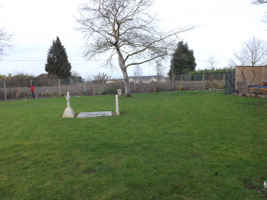
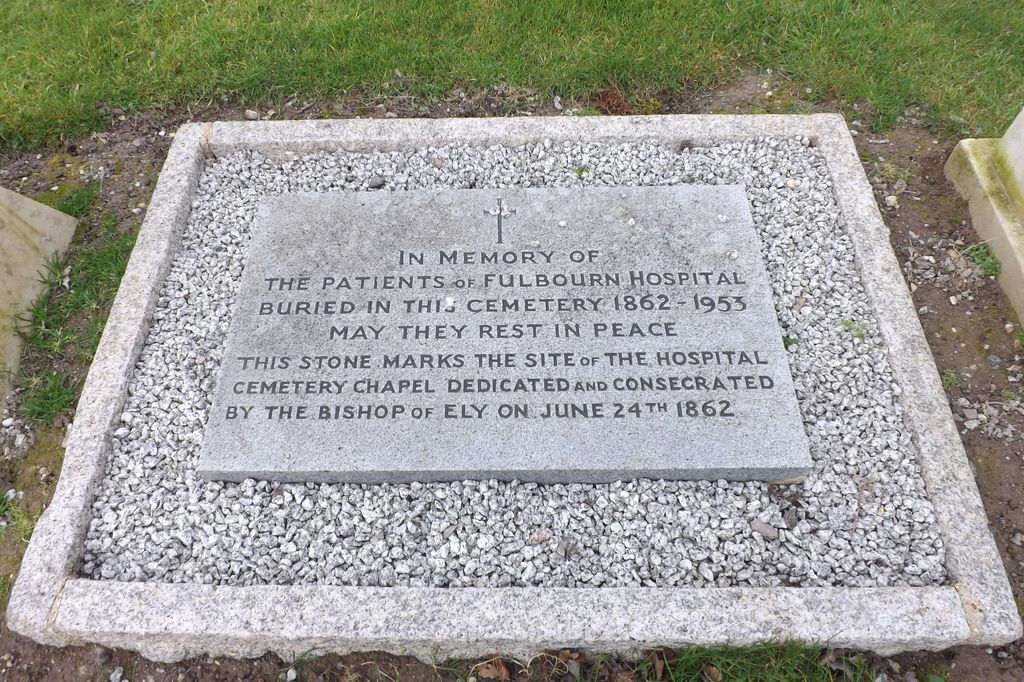
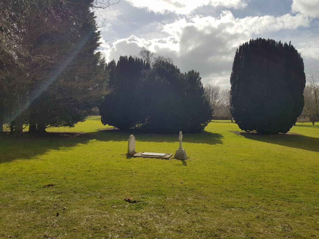
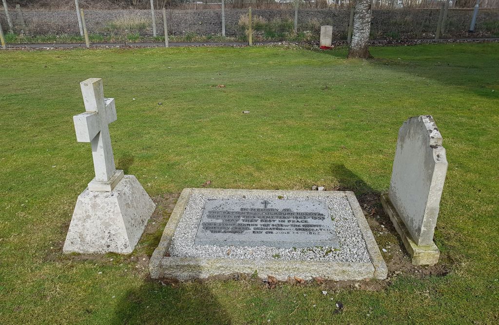
| Description | : | Fulbourn Hospital, known as the County Pauper Lunatic Asylum for Cambridgeshire, the Isle of Ely and the Borough of Cambridge at the time of its opening in 1858, is a mental health facility located between the Cambridgeshire villages of Fulbourn and Cherry Hinton, about 5 miles (8 km) south-east of the centre of Cambridge. Until recently the main Victorian building was used as a psychiatric hospital, while the 1960s Kent House to the west was built for acute mental health patients and the Ida Darwin Hospital to the east was developed for the mentally handicapped. The main buildings have now been... Read More |
frequently asked questions (FAQ):
-
Where is Fulbourn Hospital Burial Ground?
Fulbourn Hospital Burial Ground is located at Fulbourn, South Cambridgeshire District, England.
-
Fulbourn Hospital Burial Ground cemetery's updated grave count on graveviews.com?
0 memorials
Nearby Cemetories:
1. St Michael and All Angels Churchyard
Abington Pigotts, South Cambridgeshire District, England
Coordinate: 52.1497600, 0.0504370
2. St Peter Churchyard
Barton, South Cambridgeshire District, England
Coordinate: 52.2358100, 0.1832900
3. Woodland Burial Ground Barton Glebe
Barton, South Cambridgeshire District, England
Coordinate: 52.2418000, 0.1846800
4. Cambourne Burial Ground
Cambourne, South Cambridgeshire District, England
Coordinate: 52.0991100, 0.2809500
5. Cambridge American Cemetery and Memorial
Coton, South Cambridgeshire District, England
Coordinate: 52.0961850, 0.2764610
6. St. Peter's Churchyard
Coton, South Cambridgeshire District, England
Coordinate: 52.0963790, 0.2784350
7. Elsworth Particular Baptist Chapelyard
Elsworth, South Cambridgeshire District, England
8. Holy Trinity Churchyard
Elsworth, South Cambridgeshire District, England
Coordinate: 52.1024700, 0.0101600
9. Gamlingay Baptist Cemetery
Gamlingay, South Cambridgeshire District, England
10. Gamlingay Cemetery
Gamlingay, South Cambridgeshire District, England
Coordinate: 52.2924430, 0.0934033
11. St Mary the Virgin Churchyard
Gamlingay, South Cambridgeshire District, England
Coordinate: 52.2922100, 0.0929300
12. St Mary Churchyard
Great Eversden, South Cambridgeshire District, England
Coordinate: 52.0655979, -0.1257247
13. All Saints Churchyard
Haslingfield, South Cambridgeshire District, England
Coordinate: 52.1497600, 0.0504370
14. Horningsea Cemetery
Horningsea, South Cambridgeshire District, England
Coordinate: 52.2358100, 0.1832900
15. St. Peter Churchyard
Horningsea, South Cambridgeshire District, England
Coordinate: 52.2418000, 0.1846800
16. Linton Cemetery
Linton, South Cambridgeshire District, England
Coordinate: 52.0991100, 0.2809500
17. Linton Free Church
Linton, South Cambridgeshire District, England
Coordinate: 52.0961850, 0.2764610
18. St Mary the Virgin Churchyard
Linton, South Cambridgeshire District, England
Coordinate: 52.0963790, 0.2784350
19. St John the Evangelist Churchyard
Little Wilbraham, South Cambridgeshire District, England
20. Holy Trinity Churchyard
Meldreth, South Cambridgeshire District, England
Coordinate: 52.1024700, 0.0101600
21. Meldreth Cemetery
Meldreth, South Cambridgeshire District, England
22. All Saints Churchyard
Rampton, South Cambridgeshire District, England
Coordinate: 52.2924430, 0.0934033
23. All Saints Churchyard
Rampton, South Cambridgeshire District, England
Coordinate: 52.2922100, 0.0929300
24. St Peter and St Paul
Steeple Morden, South Cambridgeshire District, England
Coordinate: 52.0655979, -0.1257247