
| Memorials | : | 0 |
| Location | : | Elsworth, South Cambridgeshire District, England |
| Coordinate | : | 52.2559800, -0.0686500 |
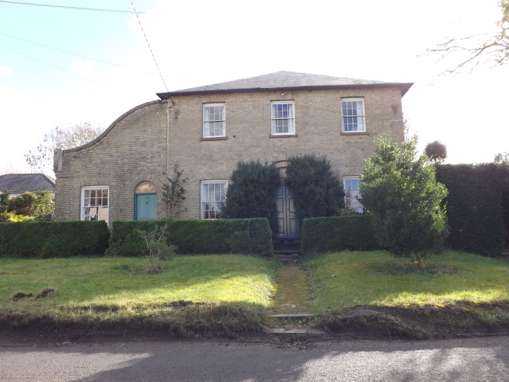
| Description | : | Elsworth is a village and civil parish in South Cambridgeshire, England, 9 miles west of Cambridge. Listed as Eleswurth in 974, and Elesuuorde in the Domesday Book, the name Elsworth means "Enclosure of a man called Eli" The Baptist Chapel is now a private residence; it can be found directly opposite the George & Dragon Public House. |
frequently asked questions (FAQ):
-
Where is Elsworth Particular Baptist Chapelyard?
Elsworth Particular Baptist Chapelyard is located at Boxworth Road Elsworth, South Cambridgeshire District ,Cambridgeshire ,England.
-
Elsworth Particular Baptist Chapelyard cemetery's updated grave count on graveviews.com?
0 memorials
-
Where are the coordinates of the Elsworth Particular Baptist Chapelyard?
Latitude: 52.2559800
Longitude: -0.0686500
Nearby Cemetories:
1. Church of All Saints
Knapwell, South Cambridgeshire District, England
Coordinate: 52.2491000, -0.0447000
2. St Mary Churchyard
Conington, South Cambridgeshire District, England
Coordinate: 52.2768320, -0.0665850
3. St. Peter's Churchyard
Boxworth, South Cambridgeshire District, England
Coordinate: 52.2620660, -0.0257910
4. Cambourne Burial Ground
Cambourne, South Cambridgeshire District, England
Coordinate: 52.2179190, -0.0682910
5. All Saints Churchyard
Lolworth, South Cambridgeshire District, England
Coordinate: 52.2583600, 0.0020200
6. St Mary Churchyard
Fen Drayton, South Cambridgeshire District, England
Coordinate: 52.2948320, -0.0369930
7. St. Peter and St. Paul Churchyard
Fenstanton, Huntingdonshire District, England
Coordinate: 52.3009610, -0.0653900
8. St John the Baptist Churchyard
Papworth St Agnes, South Cambridgeshire District, England
Coordinate: 52.2641300, -0.1414700
9. Fenstanton Cemetery
Fenstanton, Huntingdonshire District, England
Coordinate: 52.3013000, -0.0650700
10. Caxton Baptist Chapel
Caxton, South Cambridgeshire District, England
Coordinate: 52.2064820, -0.0926220
11. Church of St Andrew
Caxton, South Cambridgeshire District, England
Coordinate: 52.2031956, -0.0986441
12. St Peter and St Paul Churchyard
Dry Drayton, South Cambridgeshire District, England
Coordinate: 52.2389600, 0.0197800
13. St Pandionia and St John the Baptist Churchyard
Eltisley, South Cambridgeshire District, England
Coordinate: 52.2205960, -0.1445670
14. St Botolph Churchyard
Graveley, South Cambridgeshire District, England
Coordinate: 52.2605200, -0.1701700
15. Hemingford Grey Cemetery
Hemingford Grey, Huntingdonshire District, England
Coordinate: 52.3162700, -0.1008800
16. St. Andrew's Churchyard
Swavesey, South Cambridgeshire District, England
Coordinate: 52.3050100, -0.0025700
17. St. John the Baptist Churchyard
Holywell, Huntingdonshire District, England
Coordinate: 52.3189200, -0.0402900
18. St Mary Churchyard
Hardwick, South Cambridgeshire District, England
Coordinate: 52.2085500, 0.0069700
19. St. Helena and St. Mary Churchyard
Bourn, South Cambridgeshire District, England
Coordinate: 52.1896940, -0.0639950
20. Saint James Churchyard
Hemingford Grey, Huntingdonshire District, England
Coordinate: 52.3206701, -0.1051653
21. St Ives Public Cemetery
St Ives, Huntingdonshire District, England
Coordinate: 52.3264600, -0.0744300
22. All Saints Churchyard
St Ives, Huntingdonshire District, England
Coordinate: 52.3265800, -0.0794490
23. St. Ives All Saints Churchyard
St Ives, Huntingdonshire District, England
Coordinate: 52.3265900, -0.0794200
24. Huntingdon Road Cemetery
Cambridge, City of Cambridge, England
Coordinate: 52.2435900, 0.0462900