
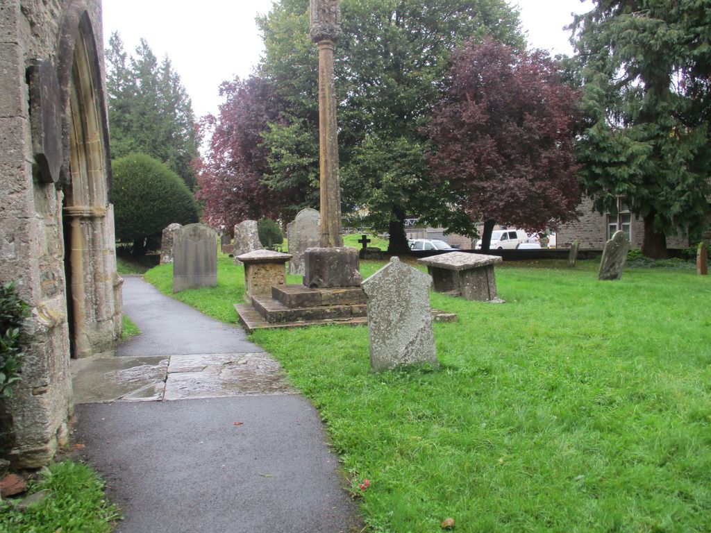
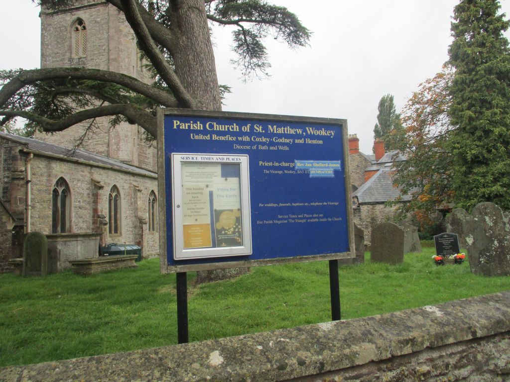
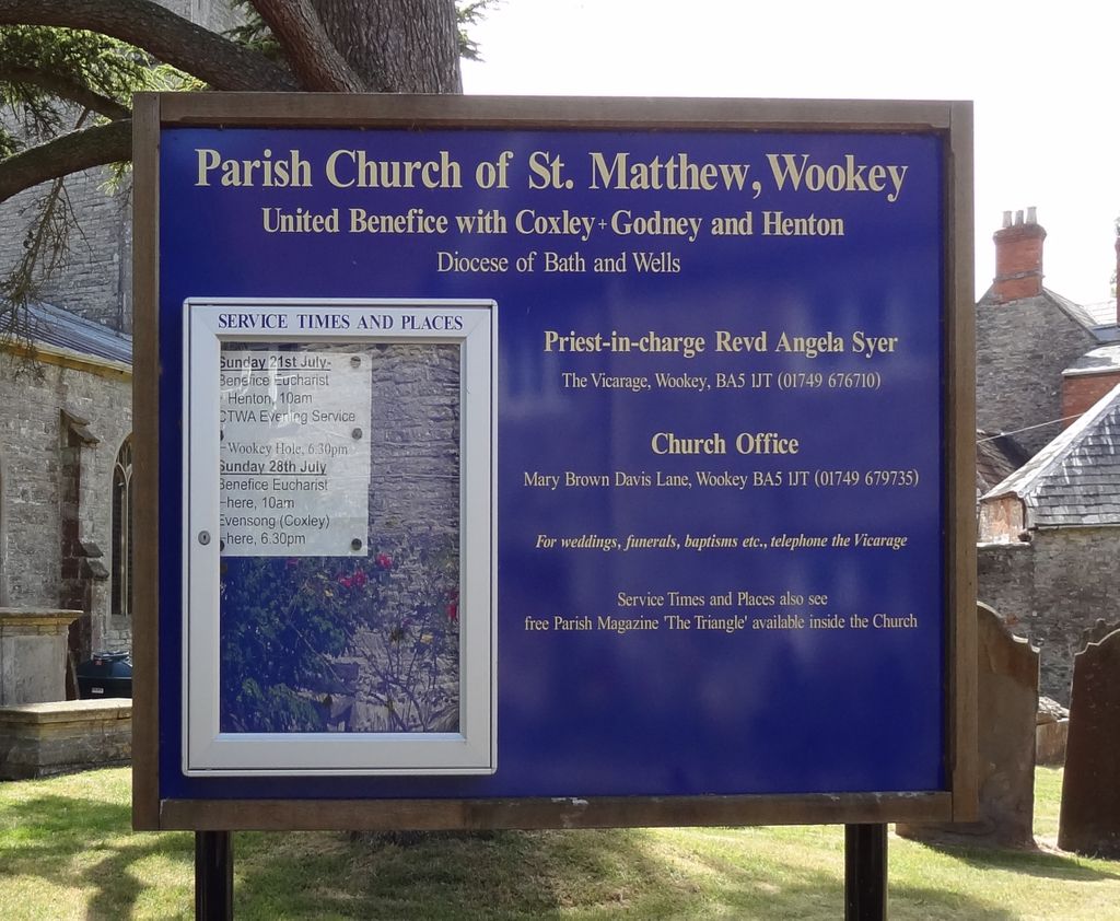
| Memorials | : | 6 |
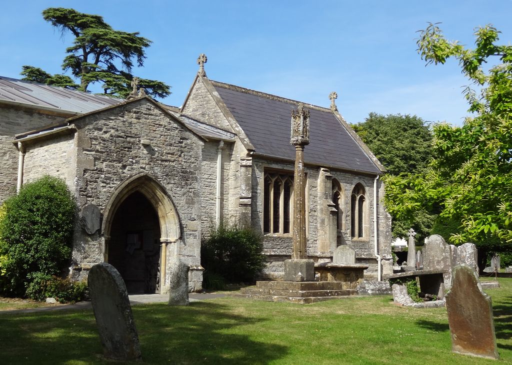
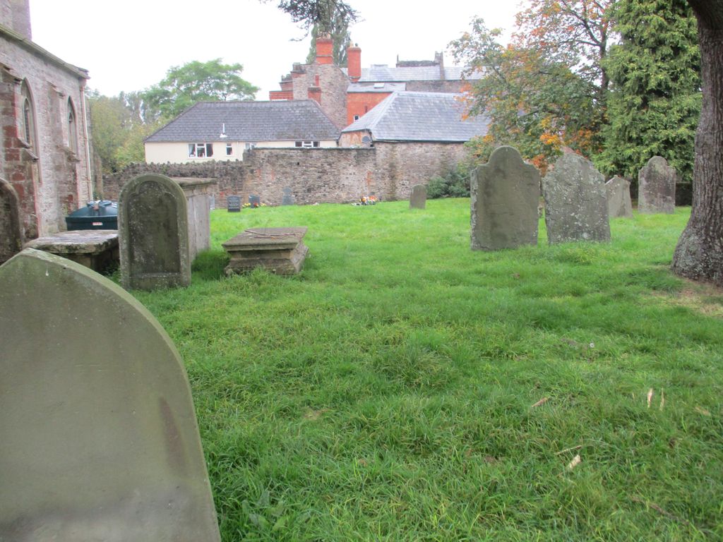
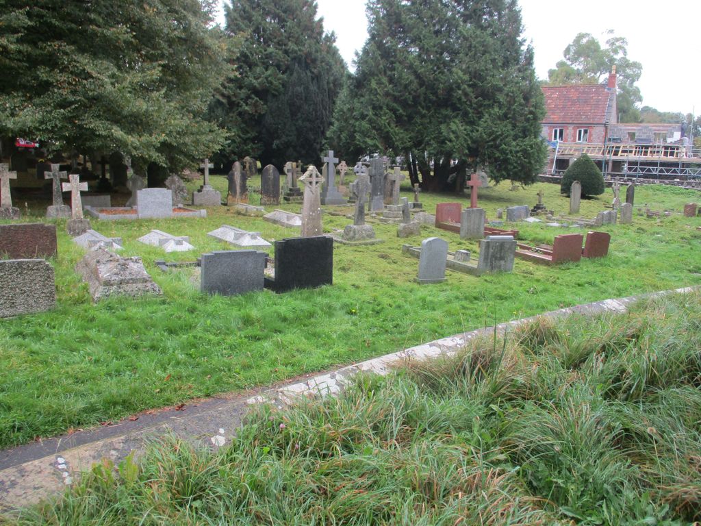
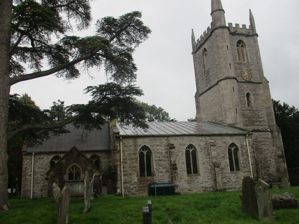
| Location | : | Wookey, Mendip District, England |
| Coordinate | : | 51.2093000, -2.6893000 |
frequently asked questions (FAQ):
-
Where is St. Matthew Churchyard?
St. Matthew Churchyard is located at Wookey, Mendip District ,Somerset ,England.
-
St. Matthew Churchyard cemetery's updated grave count on graveviews.com?
6 memorials
-
Where are the coordinates of the St. Matthew Churchyard?
Latitude: 51.2093000
Longitude: -2.6893000
Nearby Cemetories:
1. Wells Cemetery
Wells, Mendip District, England
Coordinate: 51.2088240, -2.6640120
2. Coxley Methodist Churchyard
Coxley, Mendip District, England
Coordinate: 51.1918900, -2.6723700
3. Christ Church Churchyard
Henton, Mendip District, England
Coordinate: 51.2056460, -2.7256380
4. Christ Church
Coxley, Mendip District, England
Coordinate: 51.1869530, -2.6797580
5. St. Cuthbert Churchyard
Wells, Mendip District, England
Coordinate: 51.2080930, -2.6502690
6. Wells Cathedral
Wells, Mendip District, England
Coordinate: 51.2103610, -2.6433940
7. St Lawrence Churchyard
Westbury, Mendip District, England
Coordinate: 51.2354140, -2.7182630
8. St Thomas Churchyard
Wells, Mendip District, England
Coordinate: 51.2132380, -2.6370870
9. Mendip Hospital Cemetery
Wells, Mendip District, England
Coordinate: 51.2106490, -2.6262980
10. Holy Trinity Church
Godney, Mendip District, England
Coordinate: 51.1793400, -2.7377400
11. Christ Church Theale
Wedmore, Sedgemoor District, England
Coordinate: 51.2113720, -2.7631570
12. St. Leonard's Churchyard
Rodney Stoke, Mendip District, England
Coordinate: 51.2455140, -2.7431800
13. St. Lawrence's Churchyard
Priddy, Mendip District, England
Coordinate: 51.2596770, -2.6777600
14. Saint Michael & All Angels Churchyard
Dinder, Mendip District, England
Coordinate: 51.1994600, -2.6094800
15. St Peter Churchyard
North Wootton, Mendip District, England
Coordinate: 51.1738520, -2.6252470
16. Glastonbury Cemetery
Glastonbury, Mendip District, England
Coordinate: 51.1565160, -2.7132380
17. Saint John the Evangelist
East Horrington, Mendip District, England
Coordinate: 51.2180000, -2.6006900
18. St. Peter's Churchyard
Draycott, Mendip District, England
Coordinate: 51.2580900, -2.7523800
19. Saint John the Baptist Churchyard
Glastonbury, Mendip District, England
Coordinate: 51.1481520, -2.7161400
20. Glastonbury Abbey
Glastonbury, Mendip District, England
Coordinate: 51.1464996, -2.7151000
21. Saint Mary Churchyard
Croscombe, Mendip District, England
Coordinate: 51.1974000, -2.5872000
22. St Benedict Churchyard
Glastonbury, Mendip District, England
Coordinate: 51.1465970, -2.7196900
23. St. Mary & All Saints Churchyard
Meare, Mendip District, England
Coordinate: 51.1715900, -2.7804100
24. Mendip crematorium
Mendip District, England
Coordinate: 51.1911487, -2.5797562