
| Memorials | : | 0 |
| Location | : | Robbins, Moore County, USA |
| Coordinate | : | 35.4202520, -79.6899960 |
| Description | : | 3355 Spies Rd, Robbins, NC, 27325 |
frequently asked questions (FAQ):
-
Where is Guiding Light Baptist Church Cemetery?
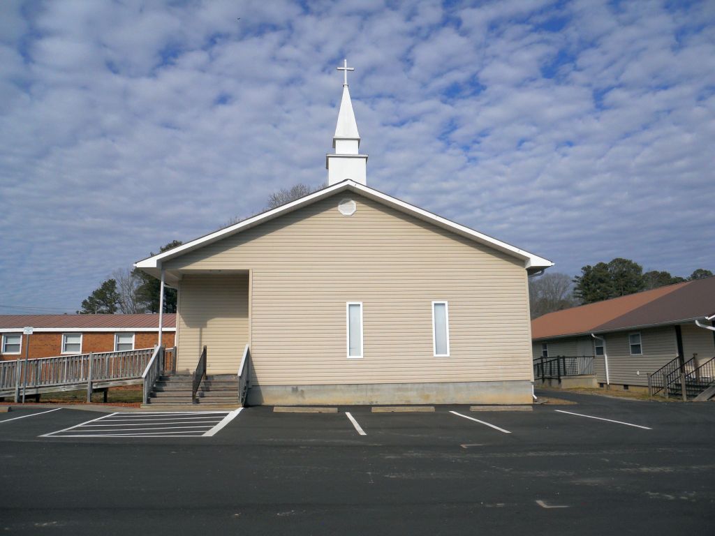
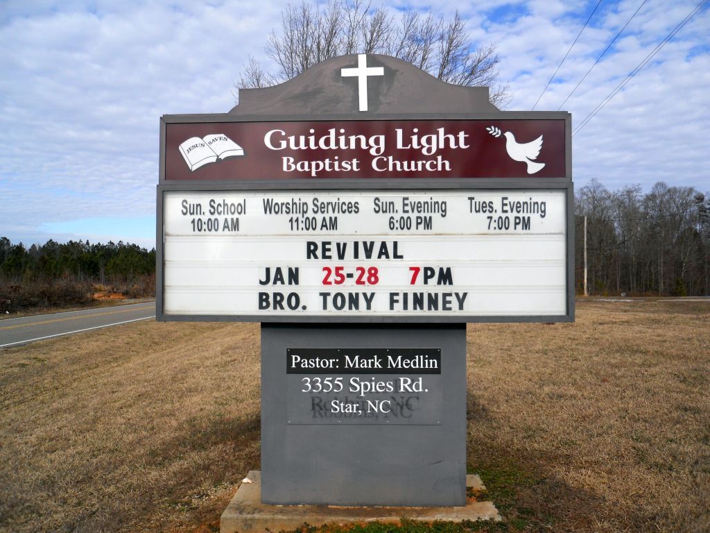
Guiding Light Baptist Church Cemetery is located at 3355 Spies Rd, Robbins, NC Robbins, Moore County ,North Carolina , 27325USA.
-
Guiding Light Baptist Church Cemetery cemetery's updated grave count on graveviews.com?
0 memorials
-
Where are the coordinates of the Guiding Light Baptist Church Cemetery?
Latitude: 35.4202520
Longitude: -79.6899960
Nearby Cemetories:
1. Davis Family Cemetery
Dover, Moore County, USA
Coordinate: 35.4298300, -79.7088600
2. Owen/Brewer camp meeting cemetery
Robbins, Moore County, USA
Coordinate: 35.4408422, -79.6820429
3. Melton family cemetery
Robbins, Moore County, USA
Coordinate: 35.4404412, -79.6787718
4. Bascom Chapel United Methodist Church Cemetery
Robbins, Moore County, USA
Coordinate: 35.4393080, -79.6755880
5. Allen Family Cemetery
Eagle Springs, Moore County, USA
Coordinate: 35.3922500, -79.7005300
6. Morgan Family Cemetery
Robbins, Moore County, USA
Coordinate: 35.4054490, -79.6552348
7. Browns Chapel Christian Church Cemetery
Robbins, Moore County, USA
Coordinate: 35.4284520, -79.6502140
8. Williamson-Key Cemetery
Spies, Moore County, USA
Coordinate: 35.3898083, -79.6724583
9. Pine Grove Baptist Church Cemetery
Eagle Springs, Moore County, USA
Coordinate: 35.3904890, -79.6594410
10. Dover Baptist Church Cemetery
Moore County, USA
Coordinate: 35.4381670, -79.7322950
11. Hardy Sanders Gravesite
Robbins, Moore County, USA
Coordinate: 35.4015758, -79.6445489
12. Shamburger Cemetery
Moore County, USA
Coordinate: 35.4533005, -79.7300034
13. Dunn Family Cemetery
Eagle Springs, Moore County, USA
Coordinate: 35.3828460, -79.7283280
14. Old John Key Cemetery
Spies, Moore County, USA
Coordinate: 35.3864611, -79.6414389
15. Deaton Cemetery
Robbins, Moore County, USA
Coordinate: 35.3775466, -79.6436082
16. Lassiter Cemetery
Montgomery County, USA
Coordinate: 35.4132350, -79.7614400
17. Little Oak Church of God Cemetery
Robbins, Moore County, USA
Coordinate: 35.4773960, -79.6720470
18. New Hope Baptist Church Cemetery
Star, Montgomery County, USA
Coordinate: 35.4023520, -79.7590360
19. Allred Family Cemetery
Westmore, Moore County, USA
Coordinate: 35.4769500, -79.6687400
20. New Hope Cemetery
Star, Montgomery County, USA
Coordinate: 35.3950005, -79.7561035
21. Deaton-Lamonds Cemetery
Star, Montgomery County, USA
Coordinate: 35.3978454, -79.7593053
22. Archibald Freeman Family Cemetery
Star, Montgomery County, USA
Coordinate: 35.4300259, -79.7675443
23. Deaton Family Cemetery
Star, Montgomery County, USA
Coordinate: 35.3859920, -79.7565480
24. Flint Hill Congregational Christian Church
Moore County, USA
Coordinate: 35.3592360, -79.7217750