
| Memorials | : | 8 |
| Location | : | Gunnerside, Richmondshire District, England |
| Coordinate | : | 54.3783950, -2.0778320 |
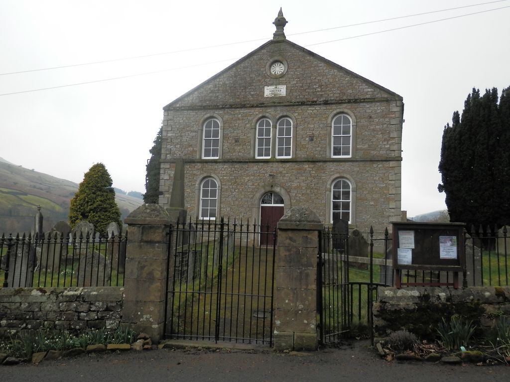
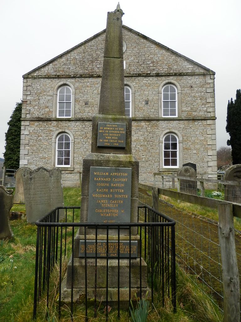
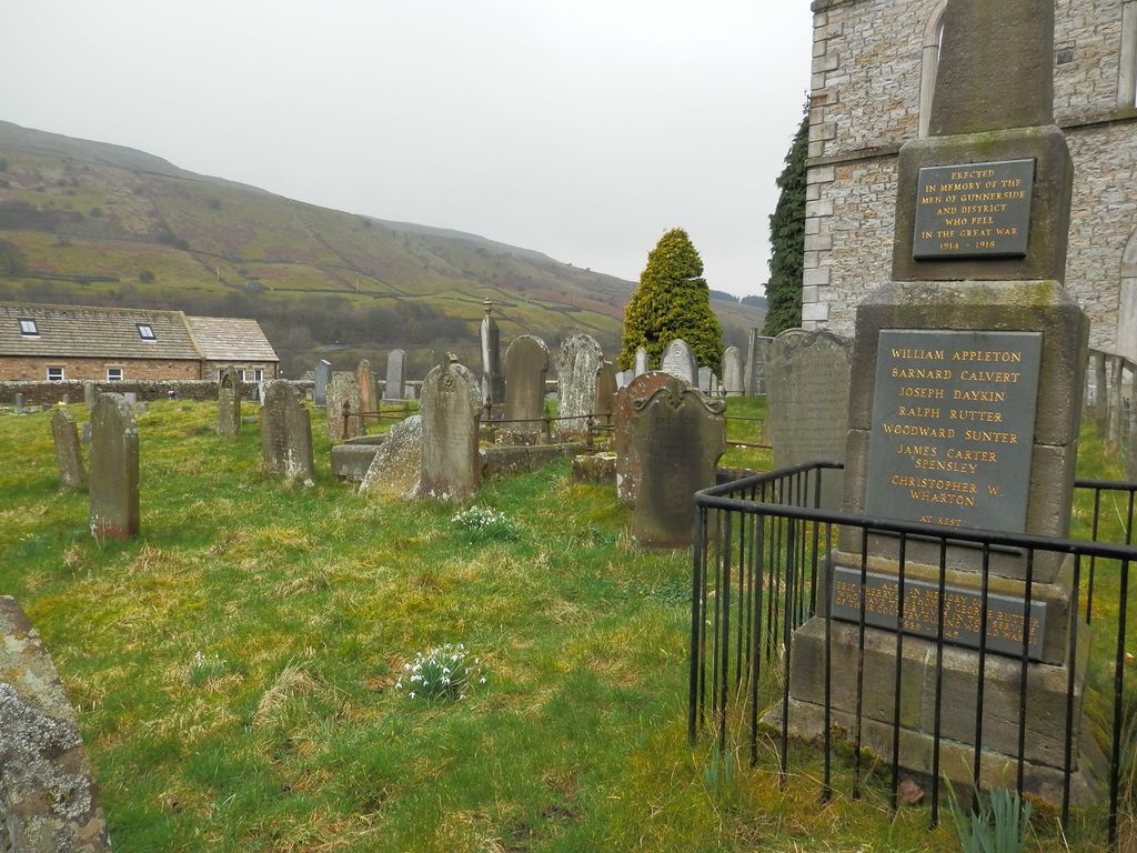
| Description | : | The present Gunnerside Wesleyan Methodist Chapel was built in 1866, and is surrounded by a burial ground. It is located in the village of Gunnerside, in the Township of Melbecks, in the valley of Swaledale. This village is in the parish of Grinton, North Riding Yorkshire. In the past the residents of Gunnerside have also used the chapel in Muker or the parish church in Grinton. |
frequently asked questions (FAQ):
-
Where is Gunnerside Wesleyan Methodist Chapelyard?
Gunnerside Wesleyan Methodist Chapelyard is located at Gunnerside, Richmondshire District ,North Yorkshire , DL11 6LAEngland.
-
Gunnerside Wesleyan Methodist Chapelyard cemetery's updated grave count on graveviews.com?
8 memorials
-
Where are the coordinates of the Gunnerside Wesleyan Methodist Chapelyard?
Latitude: 54.3783950
Longitude: -2.0778320
Nearby Cemetories:
1. Low Row United Reformed Chapelyard
Low Row, Richmondshire District, England
Coordinate: 54.3755880, -2.0317420
2. Low Row Methodist Cemetery
Low Row, Richmondshire District, England
Coordinate: 54.3798050, -2.0259320
3. Holy Trinity Churchyard
Low Row, Richmondshire District, England
Coordinate: 54.3812800, -2.0223090
4. St. Mary's Churchyard
Muker, Richmondshire District, England
Coordinate: 54.3763690, -2.1392860
5. Keld United Reform Chapelyard
Keld, Richmondshire District, England
Coordinate: 54.4055920, -2.1660210
6. Langthwaite Wesleyan Methodist Chapelyard
Langthwaite, Richmondshire District, England
Coordinate: 54.4181000, -1.9958500
7. St. Mary the Virgin Churchyard
Langthwaite, Richmondshire District, England
Coordinate: 54.4195260, -1.9967580
8. Church of Saint Mary the Virgin Graveyard
Arkengarthdale, Richmondshire District, England
Coordinate: 54.4225063, -2.0013365
9. St. Oswald Churchyard
Askrigg, Richmondshire District, England
Coordinate: 54.3147100, -2.0817500
10. Askrigg Cemetery
Askrigg, Richmondshire District, England
Coordinate: 54.3141230, -2.0915060
11. Friends Burial Ground
Bainbridge, Richmondshire District, England
Coordinate: 54.3093330, -2.1023380
12. Bainbridge Cemetery
Bainbridge, Richmondshire District, England
Coordinate: 54.3054000, -2.0994100
13. Reeth Congregational Chapelyard
Reeth, Richmondshire District, England
Coordinate: 54.3878600, -1.9422700
14. St. Andrew's Churchyard
Grinton, Richmondshire District, England
Coordinate: 54.3812610, -1.9305740
15. Reeth and Grinton Cemetery
Grinton, Richmondshire District, England
Coordinate: 54.3800400, -1.9246700
16. Friends Meeting House Burial Ground
Carperby, Richmondshire District, England
Coordinate: 54.3031720, -1.9925670
17. St. Mary and St. John Churchyard
Hardraw, Richmondshire District, England
Coordinate: 54.3169800, -2.2052700
18. Friends Burial Ground
Hawes, Richmondshire District, England
Coordinate: 54.3039790, -2.1937940
19. St. Andrew Churchyard
Aysgarth, Richmondshire District, England
Coordinate: 54.2922340, -1.9833760
20. St. Margaret's Churchyard
Hawes, Richmondshire District, England
Coordinate: 54.3032300, -2.1969700
21. Marrick Priory Churchyard
Marrick, Richmondshire District, England
Coordinate: 54.3758830, -1.8977990
22. Sandemanian Chapel Burial Ground
Hawes, Richmondshire District, England
Coordinate: 54.2992110, -2.1982010
23. St Mary Churchyard
Redmire, Richmondshire District, England
Coordinate: 54.3126200, -1.9227400
24. St Matthew Old Churchyard
Stalling Busk, Richmondshire District, England
Coordinate: 54.2695500, -2.1289300