
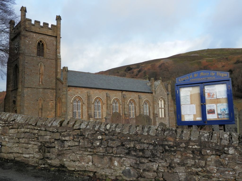
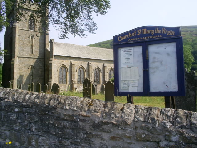
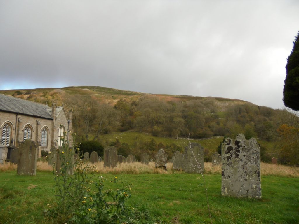
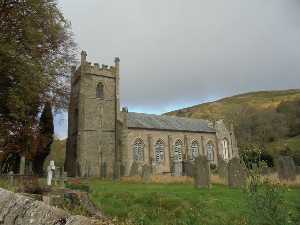
| Memorials | : | 1 |
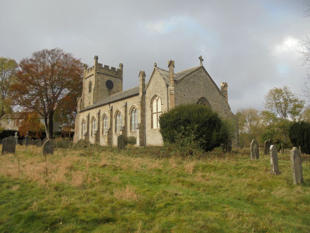
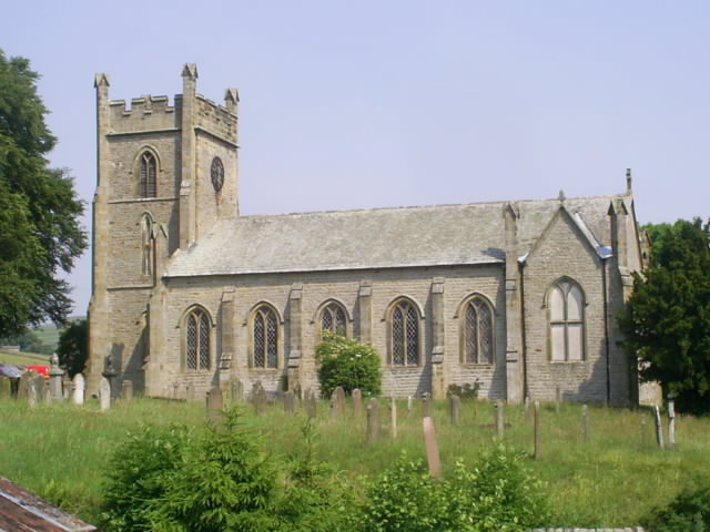
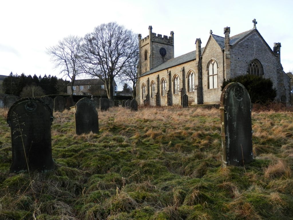
| Location | : | Langthwaite, Richmondshire District, England |
| Coordinate | : | 54.4195260, -1.9967580 |
frequently asked questions (FAQ):
-
Where is St. Mary the Virgin Churchyard?
St. Mary the Virgin Churchyard is located at Langthwaite, Richmondshire District ,North Yorkshire , DL11 6EJEngland.
-
St. Mary the Virgin Churchyard cemetery's updated grave count on graveviews.com?
1 memorials
-
Where are the coordinates of the St. Mary the Virgin Churchyard?
Latitude: 54.4195260
Longitude: -1.9967580
Nearby Cemetories:
1. Langthwaite Wesleyan Methodist Chapelyard
Langthwaite, Richmondshire District, England
Coordinate: 54.4181000, -1.9958500
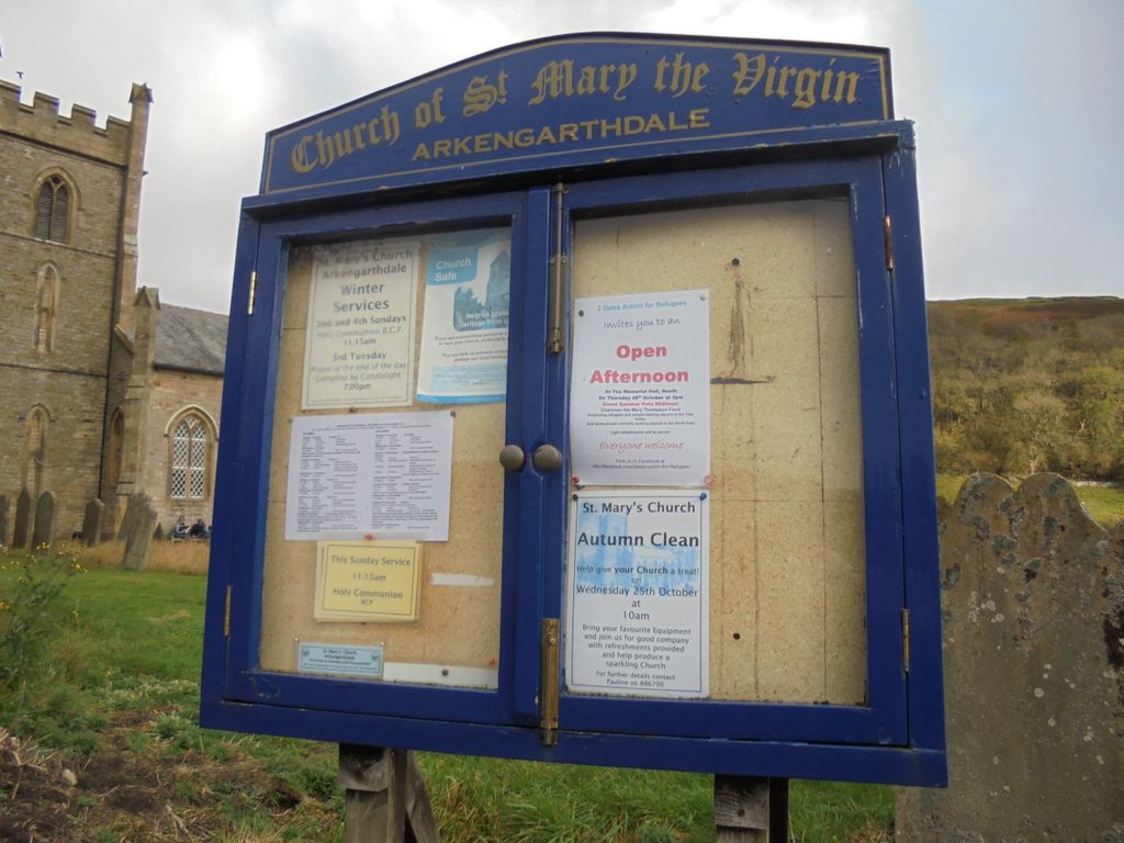
2. Church of Saint Mary the Virgin Graveyard
Arkengarthdale, Richmondshire District, England
Coordinate: 54.4225063, -2.0013365
3. Holy Trinity Churchyard
Low Row, Richmondshire District, England
Coordinate: 54.3812800, -2.0223090
4. Low Row Methodist Cemetery
Low Row, Richmondshire District, England
Coordinate: 54.3798050, -2.0259320
5. Reeth Congregational Chapelyard
Reeth, Richmondshire District, England
Coordinate: 54.3878600, -1.9422700
6. Low Row United Reformed Chapelyard
Low Row, Richmondshire District, England
Coordinate: 54.3755880, -2.0317420
7. St. Andrew's Churchyard
Grinton, Richmondshire District, England
Coordinate: 54.3812610, -1.9305740
8. Reeth and Grinton Cemetery
Grinton, Richmondshire District, England
Coordinate: 54.3800400, -1.9246700
9. Gunnerside Wesleyan Methodist Chapelyard
Gunnerside, Richmondshire District, England
Coordinate: 54.3783950, -2.0778320
10. Marrick Priory Churchyard
Marrick, Richmondshire District, England
Coordinate: 54.3758830, -1.8977990
11. St Edmund the Martyr Churchyard
Marske, Richmondshire District, England
Coordinate: 54.3997500, -1.8403700
12. St. Mary's Churchyard
Muker, Richmondshire District, England
Coordinate: 54.3763690, -2.1392860
13. Bowes and Gilmonby Cemetery
Bowes, Durham Unitary Authority, England
Coordinate: 54.5164600, -2.0124100
14. St Giles Churchyard
Bowes, Durham Unitary Authority, England
Coordinate: 54.5169000, -2.0124000
15. Keld United Reform Chapelyard
Keld, Richmondshire District, England
Coordinate: 54.4055920, -2.1660210
16. St Michael and All Angels Churchyard
Barningham, Durham Unitary Authority, England
Coordinate: 54.4895190, -1.8691942
17. St Michael and All Angels Churchyard
Downholme, Richmondshire District, England
Coordinate: 54.3799700, -1.8313400
18. St Mary's Churchyard
Brignall, Durham Unitary Authority, England
Coordinate: 54.5061090, -1.8896890
19. Brignall Old Churchyard
Brignall, Durham Unitary Authority, England
Coordinate: 54.5051000, -1.8826400
20. St Mary Churchyard
Redmire, Richmondshire District, England
Coordinate: 54.3126200, -1.9227400
21. St. Oswald Churchyard
Askrigg, Richmondshire District, England
Coordinate: 54.3147100, -2.0817500
22. Friends Meeting House Burial Ground
Carperby, Richmondshire District, England
Coordinate: 54.3031720, -1.9925670
23. Saint Mary's Churchyard
Rokeby, Durham Unitary Authority, England
Coordinate: 54.5193100, -1.8894300
24. Askrigg Cemetery
Askrigg, Richmondshire District, England
Coordinate: 54.3141230, -2.0915060