
| Memorials | : | 16 |
| Location | : | Kansas City, Jackson County, USA |
| Phone | : | (816) 231-6101 |
| Coordinate | : | 39.1082993, -94.5083008 |
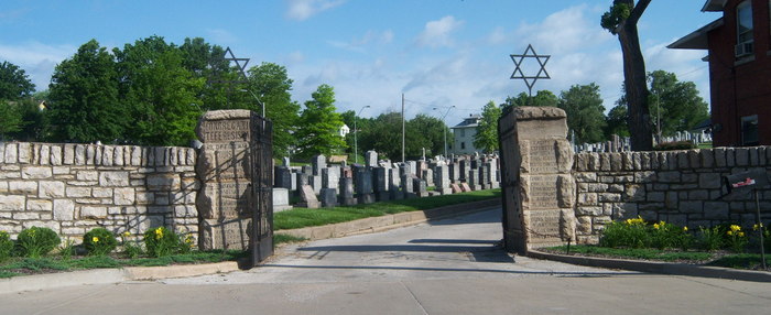
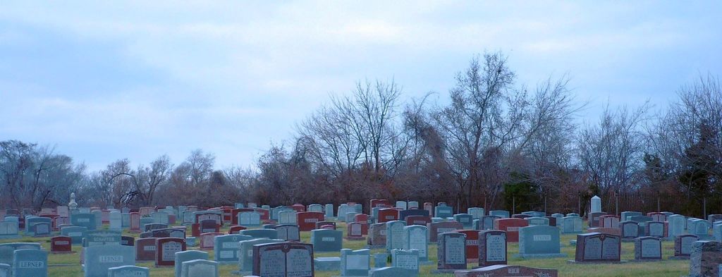
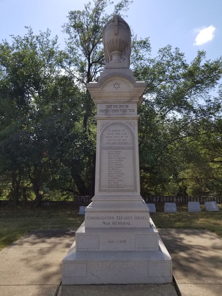
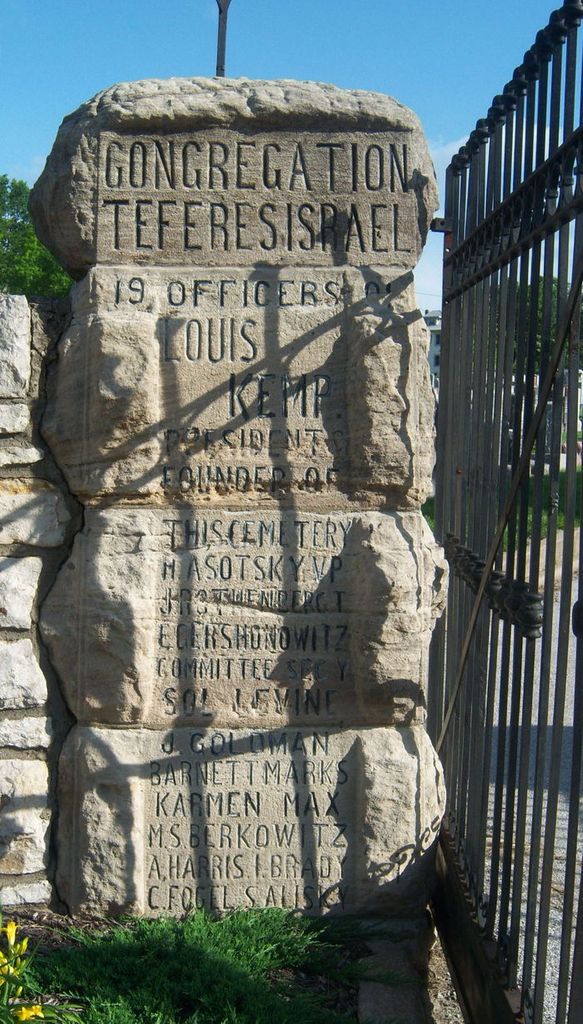
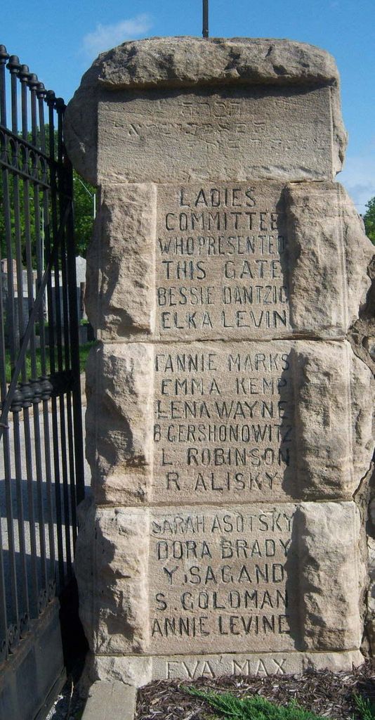
| Description | : | Sheffield Cemetery is the the second oldest Jewish Cemetery in Kansas City, Missouri and was founded by Congregation Tifereth Israel in 1900. Ownership of the cemetery was transferred to Congregation Beth Israel Abraham Voliner in 1920 when Tifereth merged with several other smaller congregations to form the Kehilath Israel Congregation. Today, Sheffield Cemetery is home to more than 5,500 graves and has been undergoing renovations since 2003. |
frequently asked questions (FAQ):
-
Where is Sheffield Cemetery?
Sheffield Cemetery is located at 6200 Wilson Rd. Kansas City, Jackson County ,Missouri , 64123USA.
-
Sheffield Cemetery cemetery's updated grave count on graveviews.com?
15 memorials
-
Where are the coordinates of the Sheffield Cemetery?
Latitude: 39.1082993
Longitude: -94.5083008
Nearby Cemetories:
1. Elmwood Cemetery
Kansas City, Jackson County, USA
Coordinate: 39.0960999, -94.5255966
2. Lincoln Cemetery
Kansas City, Jackson County, USA
Coordinate: 39.0946999, -94.4805984
3. Mount Washington Cemetery
Independence, Jackson County, USA
Coordinate: 39.0957985, -94.4757996
4. Mount Saint Mary Catholic Cemetery
Kansas City, Jackson County, USA
Coordinate: 39.0856018, -94.5357971
5. Kehilath Israel Blue Ridge Cemetery
Independence, Jackson County, USA
Coordinate: 39.0875015, -94.4766998
6. Highland Cemetery
Kansas City, Jackson County, USA
Coordinate: 39.0853004, -94.4760971
7. Reed Cemetery
Independence, Jackson County, USA
Coordinate: 39.1097400, -94.4593900
8. Blue Ridge Lawn Memorial Gardens
Kansas City, Jackson County, USA
Coordinate: 39.0760002, -94.4717026
9. Hill Park Cemetery
Independence, Jackson County, USA
Coordinate: 39.0835991, -94.4539032
10. Roberts Cemetery
Clay County, USA
Coordinate: 39.1581600, -94.5235900
11. Saint Mary's Episcopal Church Columbarium
Kansas City, Jackson County, USA
Coordinate: 39.0982600, -94.5750300
12. Pitcher Cemetery
Independence, Jackson County, USA
Coordinate: 39.0635986, -94.4702988
13. Ricketts Cemetery
Kansas City, Clay County, USA
Coordinate: 39.1638718, -94.5430145
14. Mound Grove Cemetery
Independence, Jackson County, USA
Coordinate: 39.1128006, -94.4281006
15. Grace and Holy Trinity Cathedral Memorial Garden
Kansas City, Jackson County, USA
Coordinate: 39.0982600, -94.5894100
16. Union Cemetery
Kansas City, Jackson County, USA
Coordinate: 39.0752983, -94.5811005
17. Leeds Cemetery
Kansas City, Jackson County, USA
Coordinate: 39.0433100, -94.4957500
18. Harry S. Truman Library and Museum
Independence, Jackson County, USA
Coordinate: 39.1035200, -94.4213900
19. Minneville Cemetery
Minaville, Clay County, USA
Coordinate: 39.1671906, -94.4616928
20. Trinity Episcopal Church Columbarium
Independence, Jackson County, USA
Coordinate: 39.0952300, -94.4166400
21. Crowley Cemetery
Kansas City, Clay County, USA
Coordinate: 39.1800003, -94.4897003
22. Rogers Cemetery
Clay County, USA
Coordinate: 39.1805992, -94.4903030
23. Cole Cemetery
Kansas City, Jackson County, USA
Coordinate: 39.0331000, -94.4992400
24. Woodlawn Cemetery
Independence, Jackson County, USA
Coordinate: 39.0856018, -94.4107971