
| Memorials | : | 121 |
| Location | : | Independence, Jackson County, USA |
| Phone | : | (816) 252-4141 |
| Website | : | mtwashingtoncemetery.com/request-a-grave-location/ |
| Coordinate | : | 39.0957985, -94.4757996 |
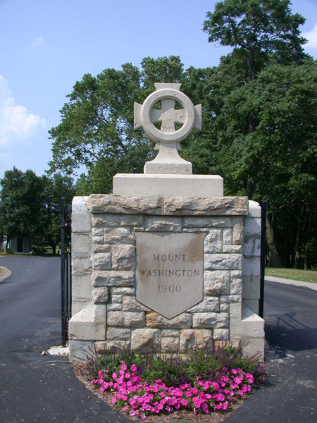
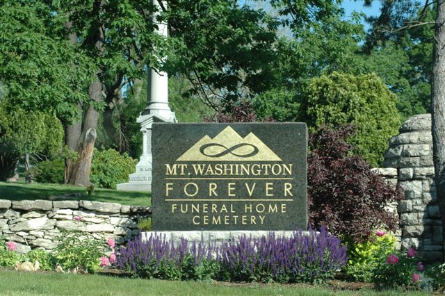
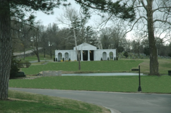
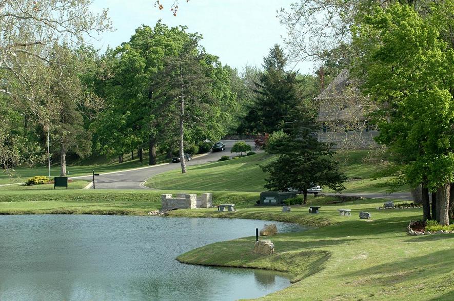
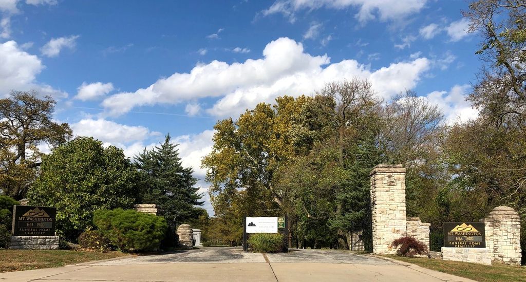
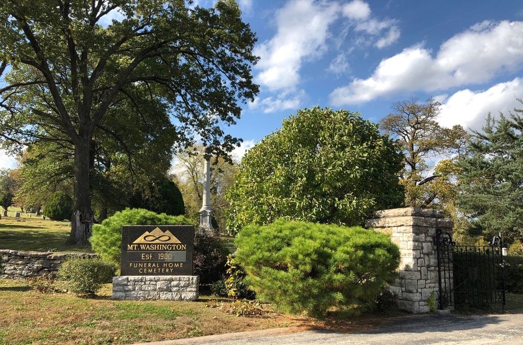
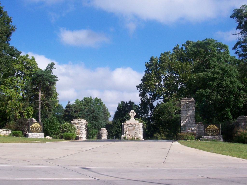
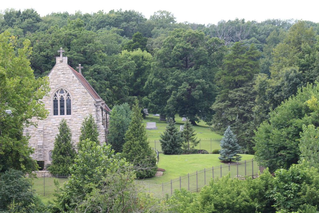
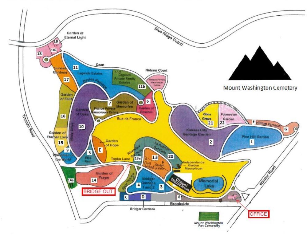
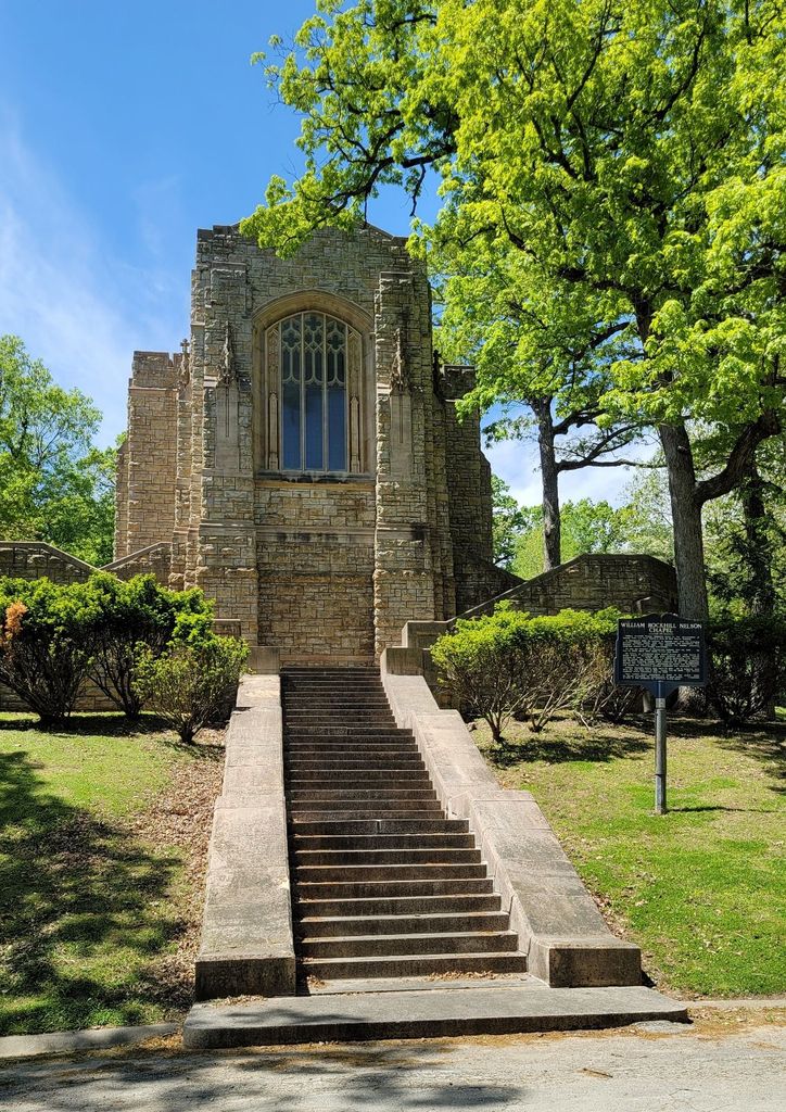
| Description | : | If you have someone buried here and you'd like a picture of their stone, you might want to call the cemetery to get a location for the volunteer as the cemetery charges for non-family lookups. Mount Washington consists of 287 acres. The gates are only open from 8 a.m. to 5 p.m. Mount Washington Forever cemetery is a Historical Landmark, founded in 1900. |
frequently asked questions (FAQ):
-
Where is Mount Washington Cemetery?
Mount Washington Cemetery is located at 614 S Brookside Ave Independence, Jackson County ,Missouri , 64053-1615USA.
-
Mount Washington Cemetery cemetery's updated grave count on graveviews.com?
110 memorials
-
Where are the coordinates of the Mount Washington Cemetery?
Latitude: 39.0957985
Longitude: -94.4757996
Nearby Cemetories:
1. Lincoln Cemetery
Kansas City, Jackson County, USA
Coordinate: 39.0946999, -94.4805984
2. Kehilath Israel Blue Ridge Cemetery
Independence, Jackson County, USA
Coordinate: 39.0875015, -94.4766998
3. Highland Cemetery
Kansas City, Jackson County, USA
Coordinate: 39.0853004, -94.4760971
4. Reed Cemetery
Independence, Jackson County, USA
Coordinate: 39.1097400, -94.4593900
5. Blue Ridge Lawn Memorial Gardens
Kansas City, Jackson County, USA
Coordinate: 39.0760002, -94.4717026
6. Hill Park Cemetery
Independence, Jackson County, USA
Coordinate: 39.0835991, -94.4539032
7. Sheffield Cemetery
Kansas City, Jackson County, USA
Coordinate: 39.1082993, -94.5083008
8. Pitcher Cemetery
Independence, Jackson County, USA
Coordinate: 39.0635986, -94.4702988
9. Elmwood Cemetery
Kansas City, Jackson County, USA
Coordinate: 39.0960999, -94.5255966
10. Mound Grove Cemetery
Independence, Jackson County, USA
Coordinate: 39.1128006, -94.4281006
11. Harry S. Truman Library and Museum
Independence, Jackson County, USA
Coordinate: 39.1035200, -94.4213900
12. Trinity Episcopal Church Columbarium
Independence, Jackson County, USA
Coordinate: 39.0952300, -94.4166400
13. Mount Saint Mary Catholic Cemetery
Kansas City, Jackson County, USA
Coordinate: 39.0856018, -94.5357971
14. Woodlawn Cemetery
Independence, Jackson County, USA
Coordinate: 39.0856018, -94.4107971
15. Leeds Cemetery
Kansas City, Jackson County, USA
Coordinate: 39.0433100, -94.4957500
16. Long Cemetery
Independence, Jackson County, USA
Coordinate: 39.1284700, -94.4097700
17. Tucker Cemetery
Independence, Jackson County, USA
Coordinate: 39.1224300, -94.4021600
18. Cole Cemetery
Kansas City, Jackson County, USA
Coordinate: 39.0331000, -94.4992400
19. Hedrick Cemetery
Independence, Jackson County, USA
Coordinate: 39.1072006, -94.3914032
20. Campground Cemetery
Raytown, Jackson County, USA
Coordinate: 39.0380000, -94.4295700
21. Brooking Cemetery
Raytown, Jackson County, USA
Coordinate: 39.0269012, -94.4597015
22. Minneville Cemetery
Minaville, Clay County, USA
Coordinate: 39.1671906, -94.4616928
23. Roberts Cemetery
Clay County, USA
Coordinate: 39.1581600, -94.5235900
24. Mount Carmel Cemetery
Raytown, Jackson County, USA
Coordinate: 39.0228004, -94.4705963