
| Memorials | : | 1 |
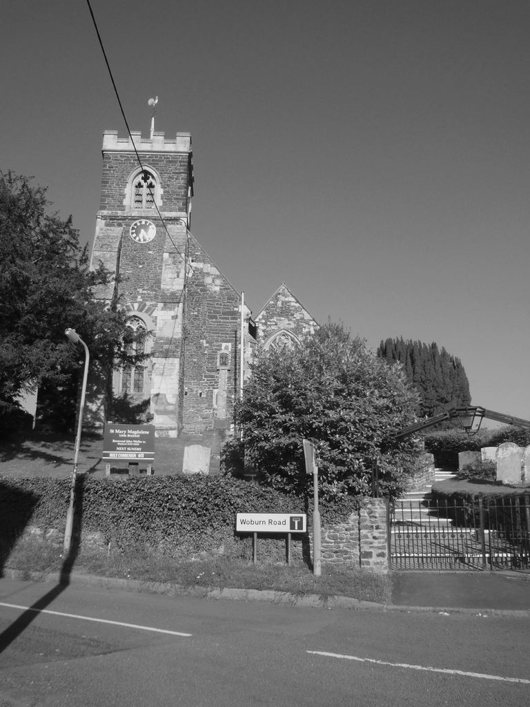
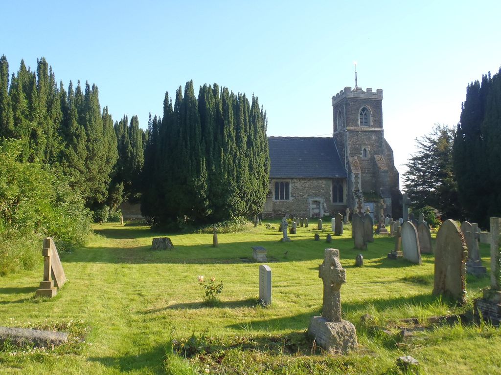
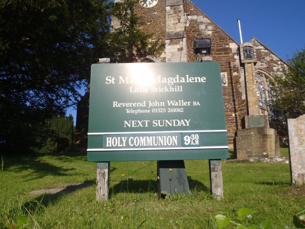
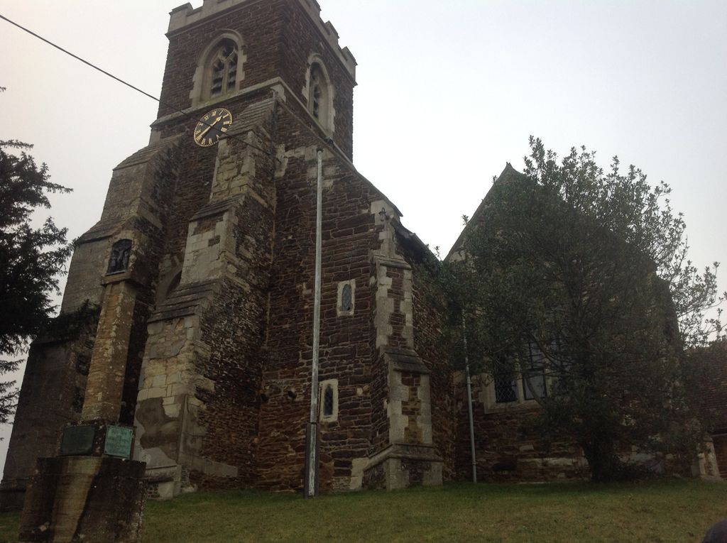
| Location | : | Little Brickhill, Milton Keynes Borough, England |
| Coordinate | : | 51.9831000, -0.6763200 |
frequently asked questions (FAQ):
-
Where is St. Mary Magdalene Churchyard?
St. Mary Magdalene Churchyard is located at Watling Street Little Brickhill, Milton Keynes Borough ,Buckinghamshire , MK17 9NAEngland.
-
St. Mary Magdalene Churchyard cemetery's updated grave count on graveviews.com?
1 memorials
-
Where are the coordinates of the St. Mary Magdalene Churchyard?
Latitude: 51.9831000
Longitude: -0.6763200
Nearby Cemetories:
1. St Mary Churchyard
Great Brickhill, Aylesbury Vale District, England
Coordinate: 51.9682720, -0.6896390
2. All Saints Churchyard Extension
Bow Brickhill, Milton Keynes Borough, England
Coordinate: 52.0002300, -0.6737940
3. All Saints Churchyard
Bow Brickhill, Milton Keynes Borough, England
Coordinate: 52.0005240, -0.6737110
4. Great Brickhill Churchyard Extension
Great Brickhill, Aylesbury Vale District, England
Coordinate: 51.9670890, -0.6898000
5. Great Brickhill Cemetery
Great Brickhill, Aylesbury Vale District, England
Coordinate: 51.9667550, -0.6894140
6. Great Brickhill Baptist Chapel
Great Brickhill, Aylesbury Vale District, England
Coordinate: 51.9666820, -0.6892350
7. St. Martin's Churchyard
Fenny Stratford, Milton Keynes Borough, England
Coordinate: 51.9982400, -0.7157800
8. Bletchley Cemetery
Bletchley, Milton Keynes Borough, England
Coordinate: 51.9947900, -0.7189600
9. St. Michael's Churchyard
Woburn Sands, Milton Keynes Borough, England
Coordinate: 52.0087770, -0.6485350
10. Woburn Sands & Aspley Heath War Memorial
Woburn, Central Bedfordshire Unitary Authority, England
Coordinate: 52.0115470, -0.6473350
11. St Marys Roman Catholic Cemetery
Woburn Sands, Milton Keynes Borough, England
Coordinate: 52.0103000, -0.6413000
12. St. Mary's Churchyard
Woburn, Central Bedfordshire Unitary Authority, England
Coordinate: 51.9896000, -0.6199000
13. St Lukes Churchyard
Stoke Hammond, Aylesbury Vale District, England
Coordinate: 51.9594850, -0.7214330
14. St. Thomas' Churchyard
Simpson, Milton Keynes Borough, England
Coordinate: 52.0170487, -0.7142377
15. St. Mary's Churchyard
Wavendon, Milton Keynes Borough, England
Coordinate: 52.0257000, -0.6730000
16. St. Mary's Churchyard
Bletchley, Milton Keynes Borough, England
Coordinate: 51.9960183, -0.7444740
17. St Mary Churchyard
Potsgrove, Central Bedfordshire Unitary Authority, England
Coordinate: 51.9589970, -0.6166510
18. Heath and Reach Cemetery
Heath and Reach, Central Bedfordshire Unitary Authority, England
Coordinate: 51.9405100, -0.6557170
19. Whalley Drive Cemetery
Bletchley, Milton Keynes Borough, England
Coordinate: 51.9964870, -0.7456010
20. St. Botolph's Churchyard
Aspley Guise, Central Bedfordshire Unitary Authority, England
Coordinate: 52.0166510, -0.6281470
21. Selbourne Avenue Cemetery
Bletchley, Milton Keynes Borough, England
Coordinate: 51.9880347, -0.7493144
22. St. Michael's Churchyard Open University
Milton Keynes Borough, England
Coordinate: 52.0233487, -0.7118339
23. St. Mary's Churchyard
Leighton Linslade, Central Bedfordshire Unitary Authority, England
Coordinate: 51.9324420, -0.6776870
24. Old Linslade Cemetery
Leighton Linslade, Central Bedfordshire Unitary Authority, England
Coordinate: 51.9319962, -0.6794293