
| Memorials | : | 0 |
| Location | : | Stoke Hammond, Aylesbury Vale District, England |
| Coordinate | : | 51.9594850, -0.7214330 |
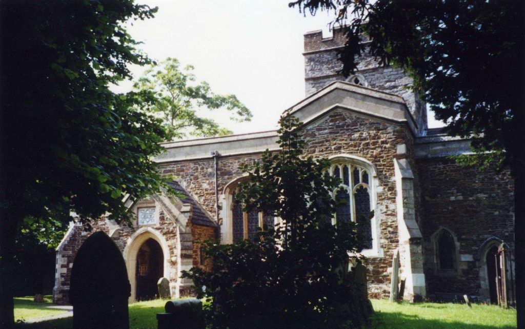
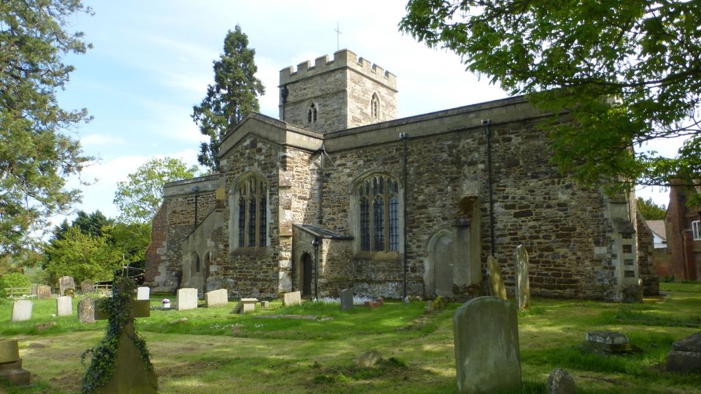
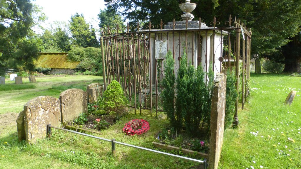
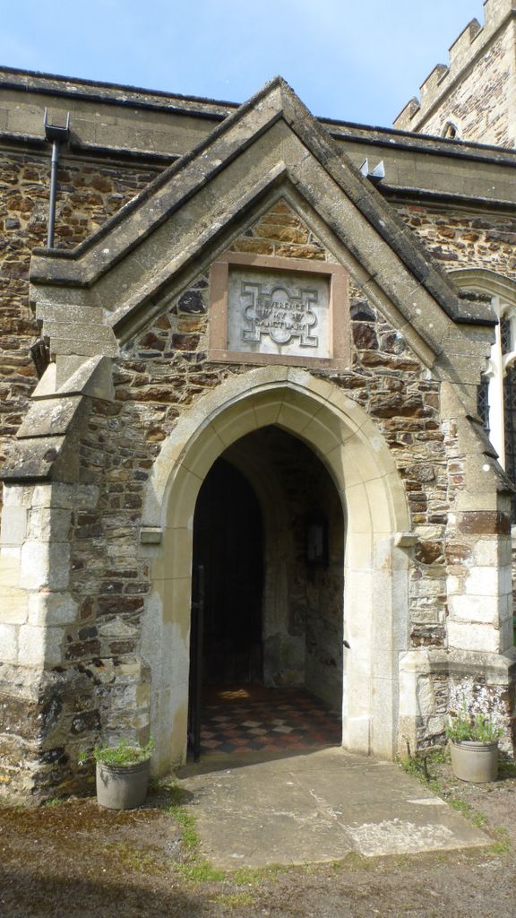
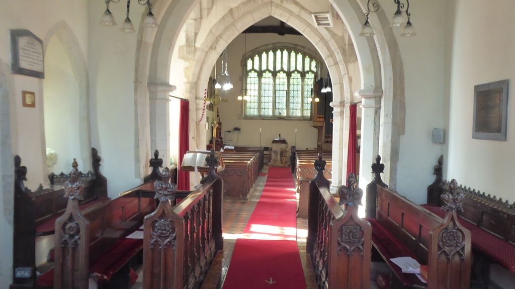
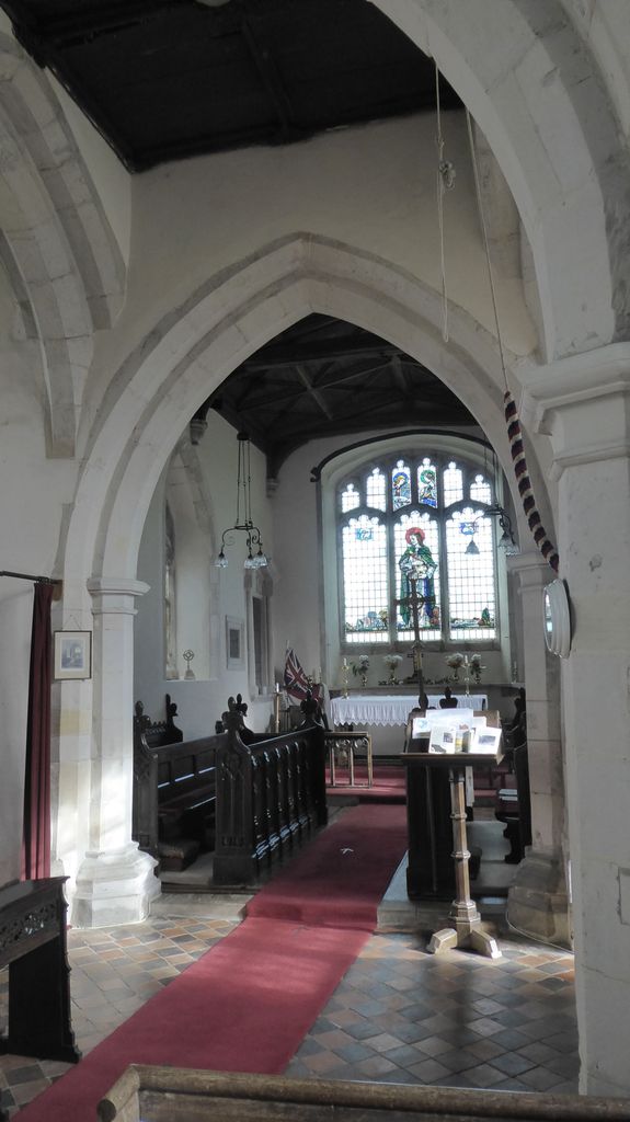
| Description | : | St Luke is a 14th century cruciform church built of Greensand rubble with Limestone dressings is one of only three in the county. The nave has restored perpendicular windows and beams dating back to the 15th century which have 19th century carved bosses. Inside the church is a 14th century font and an altar table and poor box dating to the 17th century. Stoke Hammond suffered no fatalities in the Great War of 1914 to 1918 and is the only "Thankful Village" in the county of Buckinghamshire. The churchyard is well kept and contains some large memorials to... Read More |
frequently asked questions (FAQ):
-
Where is St Lukes Churchyard?
St Lukes Churchyard is located at Stoke Hammond, Aylesbury Vale District ,Buckinghamshire ,England.
-
St Lukes Churchyard cemetery's updated grave count on graveviews.com?
0 memorials
-
Where are the coordinates of the St Lukes Churchyard?
Latitude: 51.9594850
Longitude: -0.7214330
Nearby Cemetories:
1. Great Brickhill Churchyard Extension
Great Brickhill, Aylesbury Vale District, England
Coordinate: 51.9670890, -0.6898000
2. Great Brickhill Cemetery
Great Brickhill, Aylesbury Vale District, England
Coordinate: 51.9667550, -0.6894140
3. Great Brickhill Baptist Chapel
Great Brickhill, Aylesbury Vale District, England
Coordinate: 51.9666820, -0.6892350
4. St Mary Churchyard
Great Brickhill, Aylesbury Vale District, England
Coordinate: 51.9682720, -0.6896390
5. All Saints Churchyard
Soulbury, Aylesbury Vale District, England
Coordinate: 51.9347636, -0.7181225
6. St. Faith Churchyard
Newton Longville, Aylesbury Vale District, England
Coordinate: 51.9748000, -0.7667600
7. Selbourne Avenue Cemetery
Bletchley, Milton Keynes Borough, England
Coordinate: 51.9880347, -0.7493144
8. Bletchley Cemetery
Bletchley, Milton Keynes Borough, England
Coordinate: 51.9947900, -0.7189600
9. St. Mary Magdalene Churchyard
Little Brickhill, Milton Keynes Borough, England
Coordinate: 51.9831000, -0.6763200
10. Holy Trinity Churchyard
Drayton Parslow, Aylesbury Vale District, England
Coordinate: 51.9508846, -0.7802638
11. Old Linslade Cemetery
Leighton Linslade, Central Bedfordshire Unitary Authority, England
Coordinate: 51.9319962, -0.6794293
12. St. Mary's Churchyard
Leighton Linslade, Central Bedfordshire Unitary Authority, England
Coordinate: 51.9324420, -0.6776870
13. St. Martin's Churchyard
Fenny Stratford, Milton Keynes Borough, England
Coordinate: 51.9982400, -0.7157800
14. St. Mary's Churchyard
Bletchley, Milton Keynes Borough, England
Coordinate: 51.9960183, -0.7444740
15. Whalley Drive Cemetery
Bletchley, Milton Keynes Borough, England
Coordinate: 51.9964870, -0.7456010
16. St. Michael & All Angels Churchyard
Stewkley, Aylesbury Vale District, England
Coordinate: 51.9269300, -0.7625700
17. Heath and Reach Cemetery
Heath and Reach, Central Bedfordshire Unitary Authority, England
Coordinate: 51.9405100, -0.6557170
18. All Saints Churchyard Extension
Bow Brickhill, Milton Keynes Borough, England
Coordinate: 52.0002300, -0.6737940
19. All Saints Churchyard
Bow Brickhill, Milton Keynes Borough, England
Coordinate: 52.0005240, -0.6737110
20. Leighton Buzzard Friends Meeting House
Leighton Buzzard, Central Bedfordshire Unitary Authority, England
Coordinate: 51.9181543, -0.6608307
21. Mursley Cemetery
Mursley, Aylesbury Vale District, England
Coordinate: 51.9483550, -0.8110360
22. Vandyke Road Cemetery
Leighton Buzzard, Central Bedfordshire Unitary Authority, England
Coordinate: 51.9237190, -0.6503660
23. All Saints Churchyard
Leighton Buzzard, Central Bedfordshire Unitary Authority, England
Coordinate: 51.9148010, -0.6651860
24. St Mary the Virgin Churchyard
Mursley, Aylesbury Vale District, England
Coordinate: 51.9494170, -0.8125050