
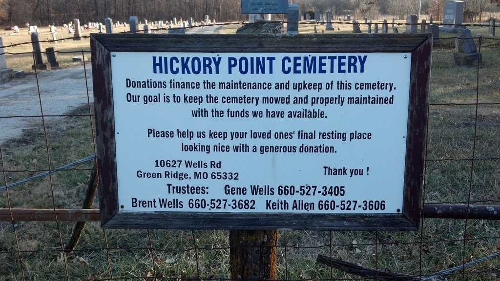
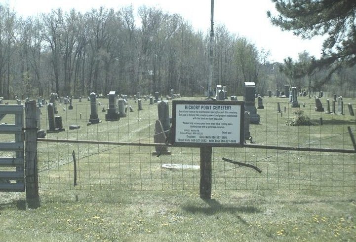
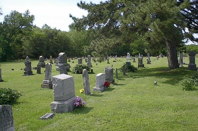
| Memorials | : | 7 |
| Location | : | Green Ridge, Pettis County, USA |
| Coordinate | : | 38.6591670, -93.4683330 |
| Description | : | Section 29 (SW of Nw 1/8 of SE 1/4), Township 45N, Range 23W, South on 127, 7 Miles to AA. West and South On AA, 4.9 Miles to Baptist Church and Cemetery. Corner of AA and Binder Road. |
frequently asked questions (FAQ):
-
Where is Hickory Point Cemetery?
Hickory Point Cemetery is located at Green Ridge, Pettis County ,Missouri ,USA.
-
Hickory Point Cemetery cemetery's updated grave count on graveviews.com?
5 memorials
-
Where are the coordinates of the Hickory Point Cemetery?
Latitude: 38.6591670
Longitude: -93.4683330
Nearby Cemetories:
1. Old Hickory Point Cemetery
Pettis County, USA
Coordinate: 38.6652985, -93.4693985
2. Rabourn Cemetery
La Monte, Pettis County, USA
Coordinate: 38.7078018, -93.4424973
3. Bethel Union Church Cemetery
Pettis County, USA
Coordinate: 38.7132988, -93.4606018
4. Bethel Cemetery
La Monte, Pettis County, USA
Coordinate: 38.7135200, -93.4611300
5. Green Ridge Cemetery
Green Ridge, Pettis County, USA
Coordinate: 38.6207100, -93.4151500
6. Goodwin Cemetery
Johnson County, USA
Coordinate: 38.6063995, -93.5310974
7. Botts Cemetery
Pettis County, USA
Coordinate: 38.7118988, -93.4019012
8. Camp Branch Baptist Church Cemetery
Sedalia, Pettis County, USA
Coordinate: 38.6731900, -93.3589900
9. Craighead Cemetery
La Monte, Pettis County, USA
Coordinate: 38.7350006, -93.4124985
10. Nelson Cemetery
Washington Township, Pettis County, USA
Coordinate: 38.6106500, -93.3723300
11. Pleasant Grove Church Cemetery
Warrensburg, Johnson County, USA
Coordinate: 38.6824188, -93.5825195
12. Cooper Cemetery
Johnson County, USA
Coordinate: 38.6006012, -93.5725021
13. Woodard Cemetery
Johnson County, USA
Coordinate: 38.5581017, -93.5302963
14. High Point Baptist Church Cemetery
Leeton, Johnson County, USA
Coordinate: 38.6028450, -93.6017700
15. Knob Noster Cemetery
Knob Noster, Johnson County, USA
Coordinate: 38.7655945, -93.5354004
16. McKee Chapel Cemetery
Sedalia, Pettis County, USA
Coordinate: 38.6396100, -93.3144800
17. Saint Joseph Cemetery
Knob Noster, Johnson County, USA
Coordinate: 38.7599983, -93.5558014
18. Ellis Cemetery
Johnson County, USA
Coordinate: 38.6996994, -93.6183014
19. LaMonte Cemetery
La Monte, Pettis County, USA
Coordinate: 38.7821999, -93.4319000
20. North Dresden Cemetery
Dresden, Pettis County, USA
Coordinate: 38.7469600, -93.3352400
21. Dresden Cemetery
Dresden, Pettis County, USA
Coordinate: 38.7468987, -93.3349991
22. Shobe Cemetery
Sedalia, Pettis County, USA
Coordinate: 38.6996994, -93.2968979
23. Laurel Oak Cemetery
Windsor, Henry County, USA
Coordinate: 38.5224991, -93.5203018
24. Southers Cemetery
Knob Noster, Johnson County, USA
Coordinate: 38.7967410, -93.5218050