
| Memorials | : | 2633 |
| Location | : | Mount Pleasant, Jefferson County, USA |
| Coordinate | : | 40.1785580, -80.7966240 |
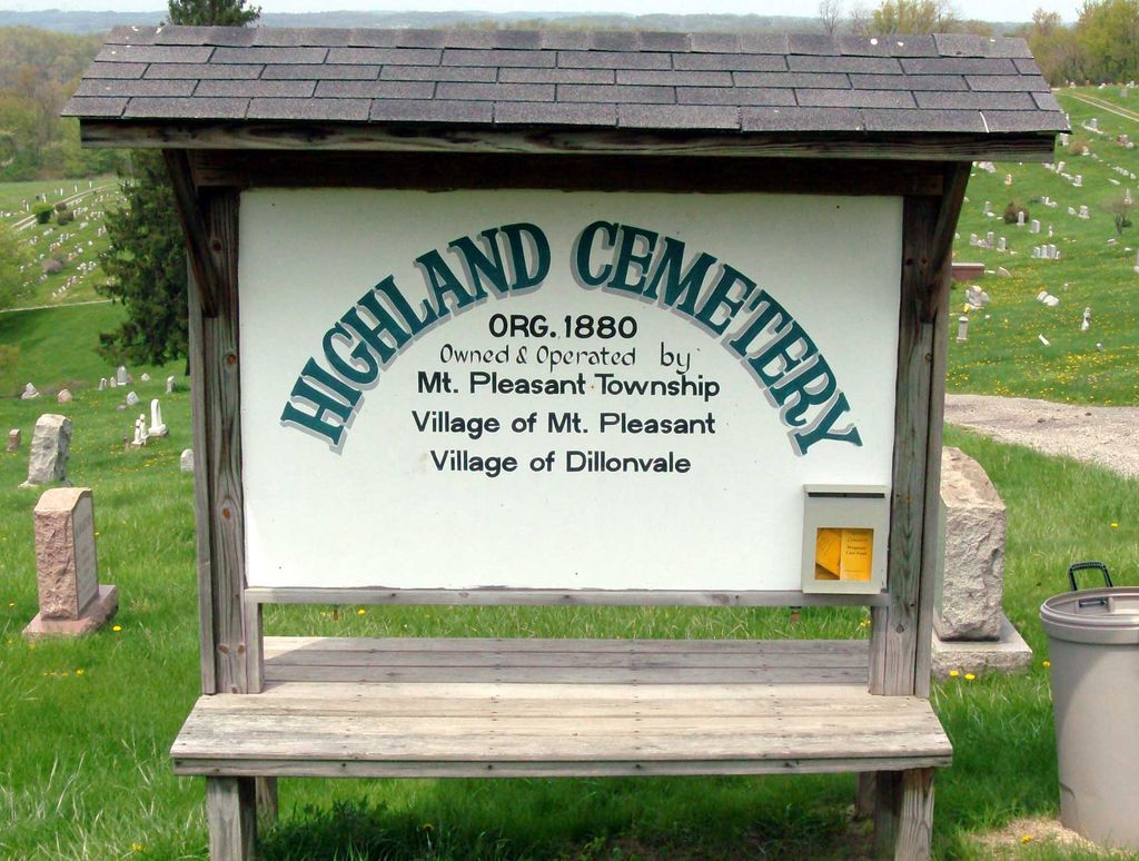
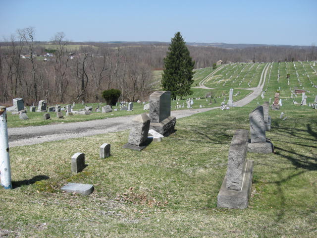
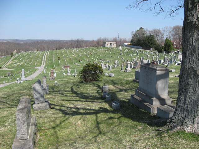
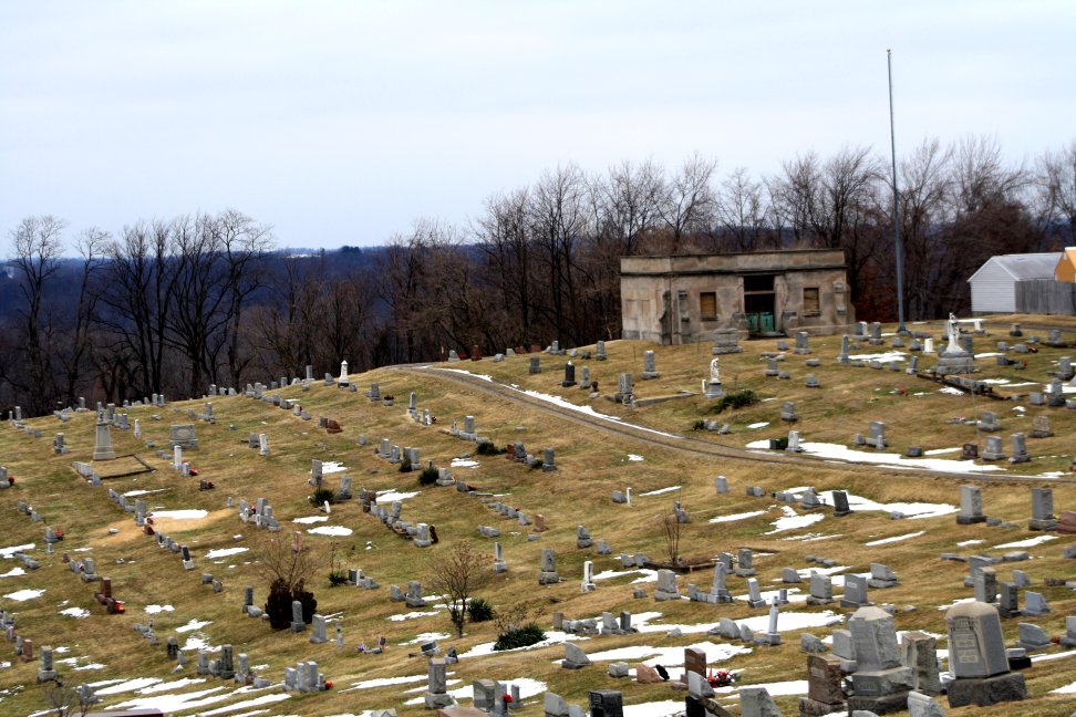
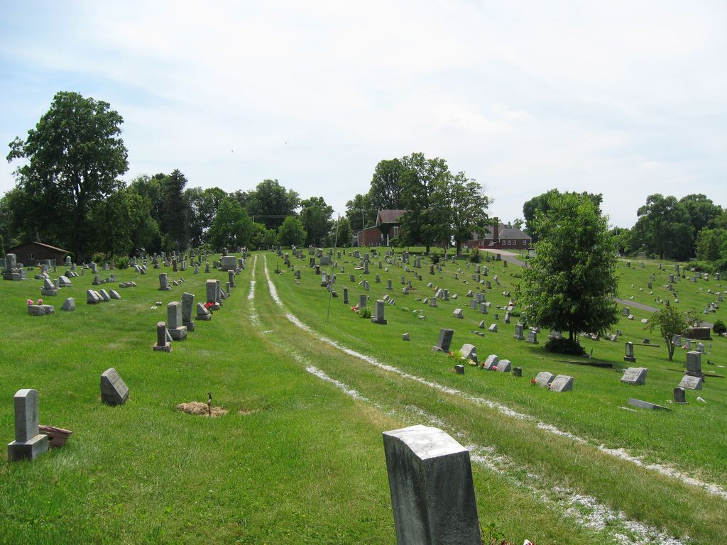
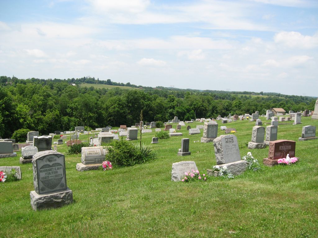
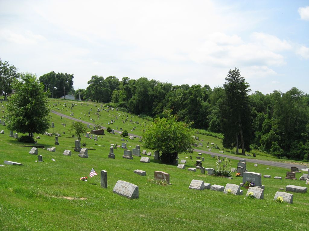
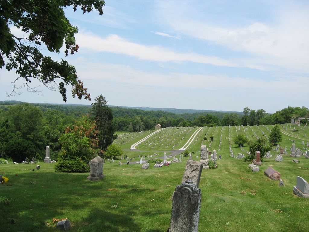
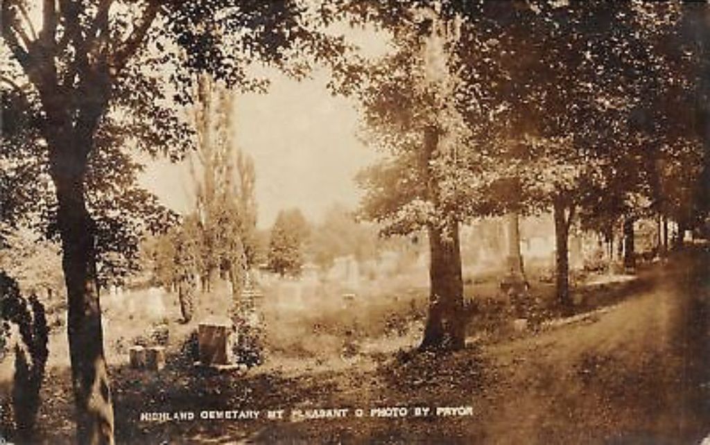
| Description | : | The cemetery is located on the west side of Cemetery Road at its intersection with North Street. The cemetery is located in Mount Pleasant Township, Jefferson County, Ohio, and is # 6043 (Highland Methodist Episcopal Cemetery / Highland Cemetery) and #6045 (Mount Pleasant Cemetery) in “Ohio Cemeteries 1803-2003”, compiled by the Ohio Genealogical Society. The cemetery is registered with the Ohio Division of Real Estate and Professional Licensing (ODRE) as Highland Cemetery with registration license number CGR.0000982482. The U.S. Geological Survey (USGS) Geographic Names Information System (GNIS) feature ID for the cemetery is 1041552 (Highland Cemetery / Highland... Read More |
frequently asked questions (FAQ):
-
Where is Highland Cemetery?
Highland Cemetery is located at Cemetery Road and North Street Mount Pleasant, Jefferson County ,Ohio , 43943USA.
-
Highland Cemetery cemetery's updated grave count on graveviews.com?
2631 memorials
-
Where are the coordinates of the Highland Cemetery?
Latitude: 40.1785580
Longitude: -80.7966240
Nearby Cemetories:
1. Seceder Cemetery
Mount Pleasant, Jefferson County, USA
Coordinate: 40.1749992, -80.7936020
2. Short Creek Cemetery
Bergholz, Jefferson County, USA
Coordinate: 40.1817017, -80.8116989
3. Short Creek Cemetery
Mount Pleasant, Jefferson County, USA
Coordinate: 40.1802000, -80.8124400
4. Oak Grove Cemetery
Mount Pleasant, Jefferson County, USA
Coordinate: 40.1769060, -80.7655010
5. Hicksite Cemetery
Emerson, Jefferson County, USA
Coordinate: 40.1761017, -80.8289032
6. Saint Adalbert Cemetery
Warren Township, Jefferson County, USA
Coordinate: 40.2033005, -80.7518997
7. Joshua Maule Family Burying Ground
Colerain, Belmont County, USA
Coordinate: 40.1350000, -80.8058330
8. Holly Memorial Gardens
Pleasant Grove, Belmont County, USA
Coordinate: 40.1479460, -80.8419940
9. Pleasant Grove Cemetery
Pleasant Grove, Belmont County, USA
Coordinate: 40.1507988, -80.8463974
10. Milhouse Farm Cemetery
Colerain Township, Belmont County, USA
Coordinate: 40.1283330, -80.8008330
11. West Cemetery
Upland Heights, Jefferson County, USA
Coordinate: 40.1606241, -80.7343555
12. Grange Friends Cemetery
Colerain Township, Belmont County, USA
Coordinate: 40.1270140, -80.8062420
13. Saint Casimirs Roman Catholic Church Cemetery
Smithfield, Jefferson County, USA
Coordinate: 40.2131004, -80.8510971
14. Concord Quaker Cemetery
Colerain Township, Belmont County, USA
Coordinate: 40.1244011, -80.7947006
15. Upland Heights Cemetery
Warren Township, Jefferson County, USA
Coordinate: 40.1608009, -80.7285995
16. First Concord Cemetery
Colerain, Belmont County, USA
Coordinate: 40.1238880, -80.7888880
17. Scotch Ridge Cemetery
Martins Ferry, Belmont County, USA
Coordinate: 40.1303490, -80.7606390
18. Holmes Pioneer Cemetery
Adena, Jefferson County, USA
Coordinate: 40.2182999, -80.8527985
19. Wilson Cemetery
Mount Pleasant Township, Jefferson County, USA
Coordinate: 40.1824989, -80.8807983
20. Friends Meeting House Cemetery
Adena, Jefferson County, USA
Coordinate: 40.1903970, -80.8805160
21. King Family Cemetery
Rayland, Jefferson County, USA
Coordinate: 40.1689423, -80.7109297
22. Wheeler Cemetery
Smithfield, Jefferson County, USA
Coordinate: 40.2453003, -80.7996979
23. Alley Cemetery
Harrisville, Harrison County, USA
Coordinate: 40.1828003, -80.8861008
24. Barton Cemetery
Barton, Belmont County, USA
Coordinate: 40.1136017, -80.8296967