
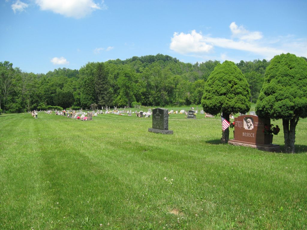
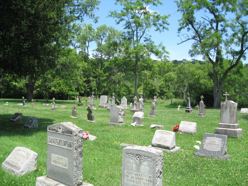
| Memorials | : | 151 |
| Location | : | Warren Township, Jefferson County, USA |
| Coordinate | : | 40.2033005, -80.7518997 |
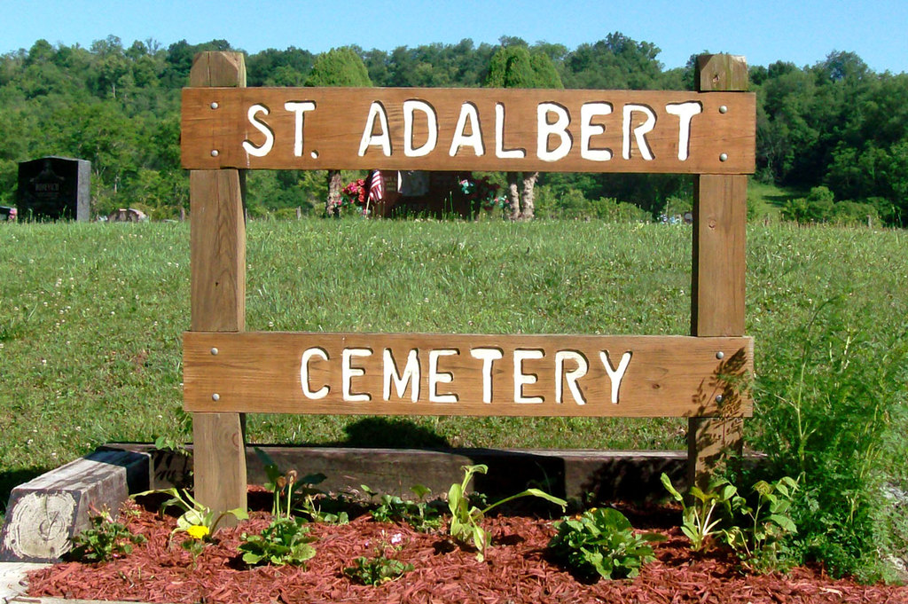
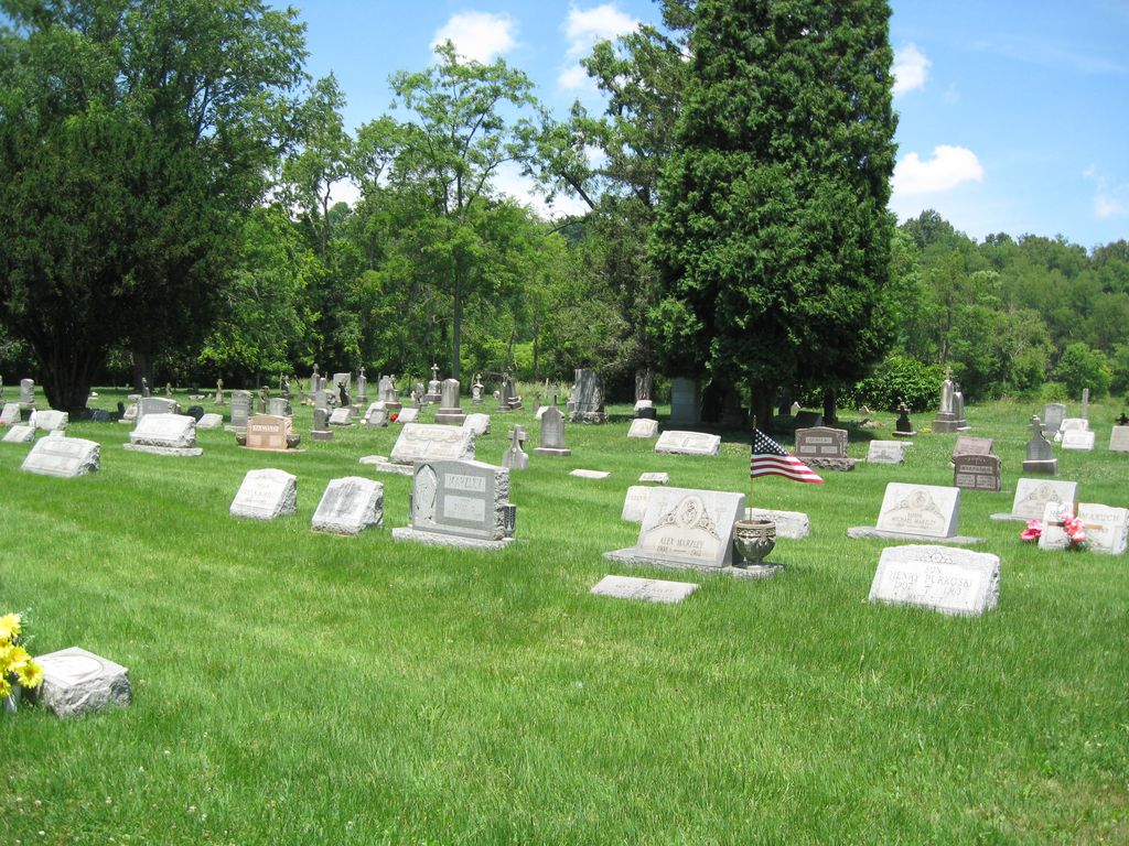
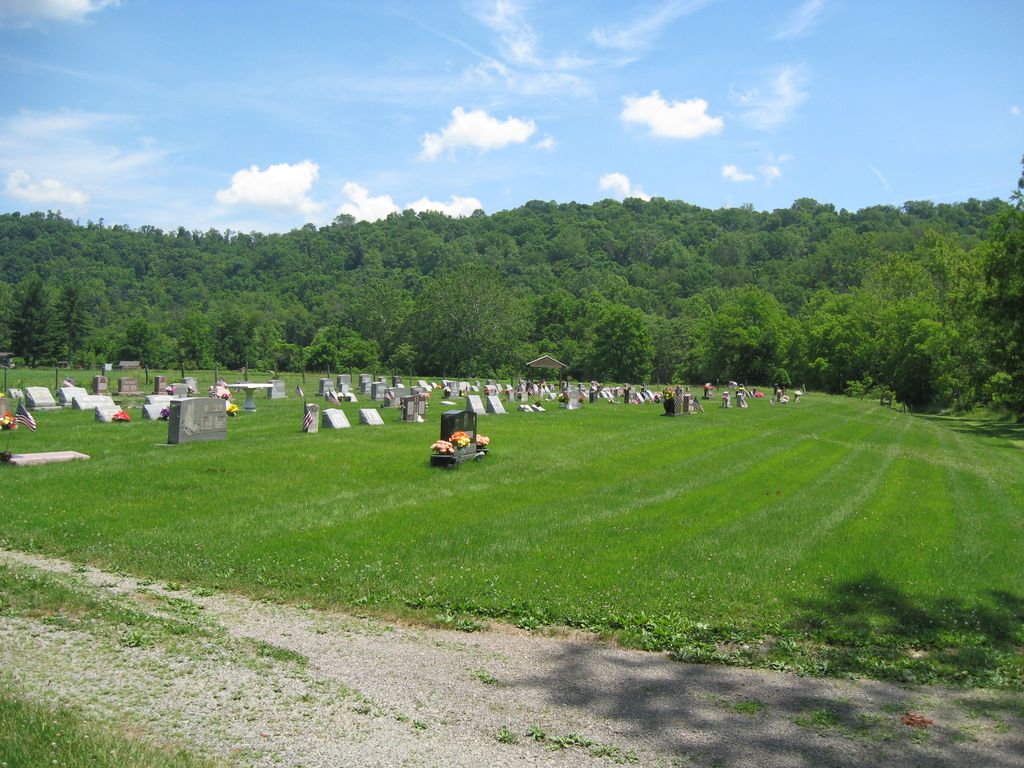
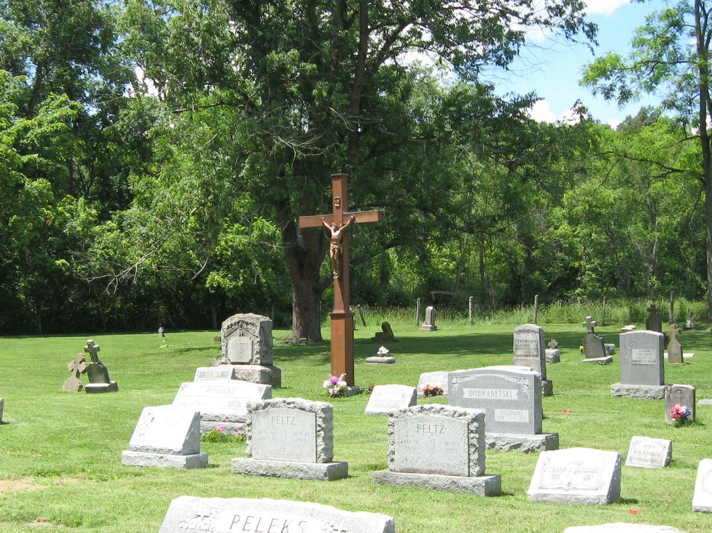
| Description | : | The cemetery is located on the north side of Jug Run Road (Township Road 115) about 0.3 miles west of its intersection with Ohio State Route 150. The cemetery is located in Warren Township, Jefferson County, Ohio, and is # 6109 (Saint Adaberts Catholic Cemetery / Saint Adelbert Cemetery) in “Ohio Cemeteries 1803-2003”, compiled by the Ohio Genealogical Society. The cemetery is registered with the Ohio Division of Real Estate and Professional Licensing (ODRE) as St. Adalbert Catholic Church Cemetery with registration license number CBR.0000983080. The U.S. Geological Survey (USGS) Geographic Names Information System (GNIS) feature ID for... Read More |
frequently asked questions (FAQ):
-
Where is Saint Adalbert Cemetery?
Saint Adalbert Cemetery is located at Jug Run Road (Township Road 115) Warren Township, Jefferson County ,Ohio , 43943USA.
-
Saint Adalbert Cemetery cemetery's updated grave count on graveviews.com?
151 memorials
-
Where are the coordinates of the Saint Adalbert Cemetery?
Latitude: 40.2033005
Longitude: -80.7518997
Nearby Cemetories:
1. Oak Grove Cemetery
Mount Pleasant, Jefferson County, USA
Coordinate: 40.1769060, -80.7655010
2. Bayless Cemetery
Rayland, Jefferson County, USA
Coordinate: 40.2122930, -80.7123024
3. Hopewell Methodist Cemetery
Warren Township, Jefferson County, USA
Coordinate: 40.2236824, -80.7117462
4. Highland Cemetery
Mount Pleasant, Jefferson County, USA
Coordinate: 40.1785580, -80.7966240
5. Seceder Cemetery
Mount Pleasant, Jefferson County, USA
Coordinate: 40.1749992, -80.7936020
6. West Cemetery
Upland Heights, Jefferson County, USA
Coordinate: 40.1606241, -80.7343555
7. Upland Heights Cemetery
Warren Township, Jefferson County, USA
Coordinate: 40.1608009, -80.7285995
8. King Family Cemetery
Rayland, Jefferson County, USA
Coordinate: 40.1689423, -80.7109297
9. Short Creek Cemetery
Bergholz, Jefferson County, USA
Coordinate: 40.1817017, -80.8116989
10. Short Creek Cemetery
Mount Pleasant, Jefferson County, USA
Coordinate: 40.1802000, -80.8124400
11. Mound Cemetery
Tiltonsville, Jefferson County, USA
Coordinate: 40.1744003, -80.6949997
12. Warrenton Cemetery
Rayland, Jefferson County, USA
Coordinate: 40.1937700, -80.6838900
13. Wheeler Cemetery
Smithfield, Jefferson County, USA
Coordinate: 40.2453003, -80.7996979
14. Hicksite Cemetery
Emerson, Jefferson County, USA
Coordinate: 40.1761017, -80.8289032
15. Oliver Cemetery
Wells Township, Jefferson County, USA
Coordinate: 40.2644005, -80.7217026
16. Smithfield Quaker Cemetery
Smithfield, Jefferson County, USA
Coordinate: 40.2670010, -80.7844370
17. Wilson Cemetery
Clearview, Ohio County, USA
Coordinate: 40.1608009, -80.6813965
18. Cochran Family Cemetery
Martins Ferry, Belmont County, USA
Coordinate: 40.1361110, -80.7230570
19. Clendenen Cemetery
Beech Bottom, Brooke County, USA
Coordinate: 40.2100870, -80.6591180
20. Oaklawn Memorial Park
Clearview, Ohio County, USA
Coordinate: 40.1469002, -80.6931000
21. Riley Hill Road Cemetery
Clearview, Ohio County, USA
Coordinate: 40.1456299, -80.6941910
22. Nixon Farm Cemetery
Martins Ferry, Belmont County, USA
Coordinate: 40.1325000, -80.7277780
23. Scotch Ridge Cemetery
Martins Ferry, Belmont County, USA
Coordinate: 40.1303490, -80.7606390
24. Northern Cemetery
Smithfield, Jefferson County, USA
Coordinate: 40.2736805, -80.7817502