
| Memorials | : | 963 |
| Location | : | Mount Pleasant, Jefferson County, USA |
| Coordinate | : | 40.1802000, -80.8124400 |
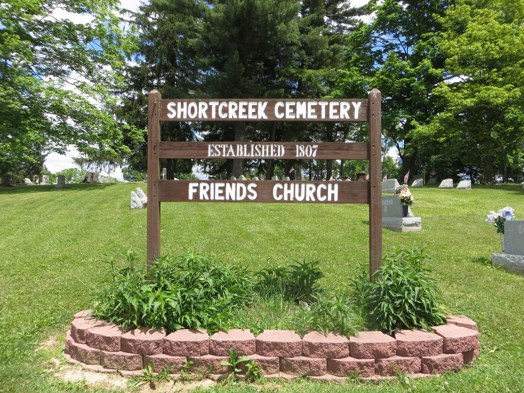
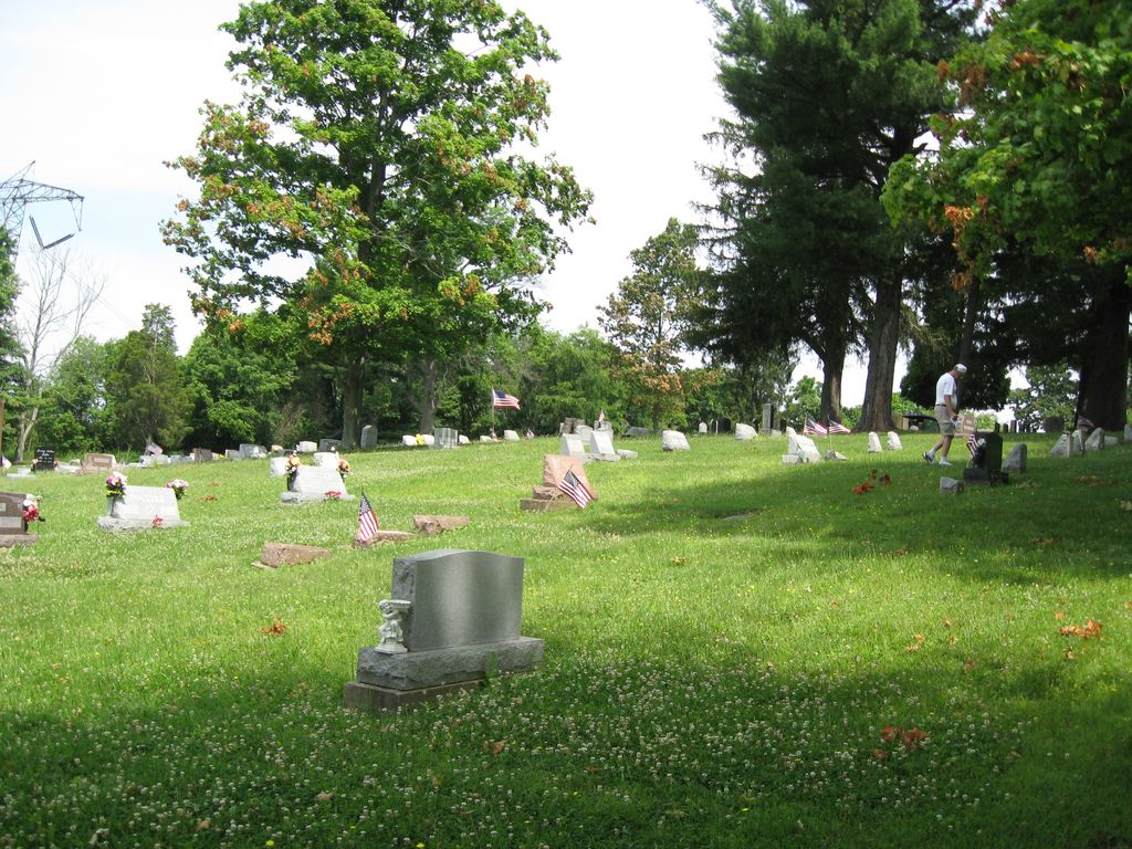
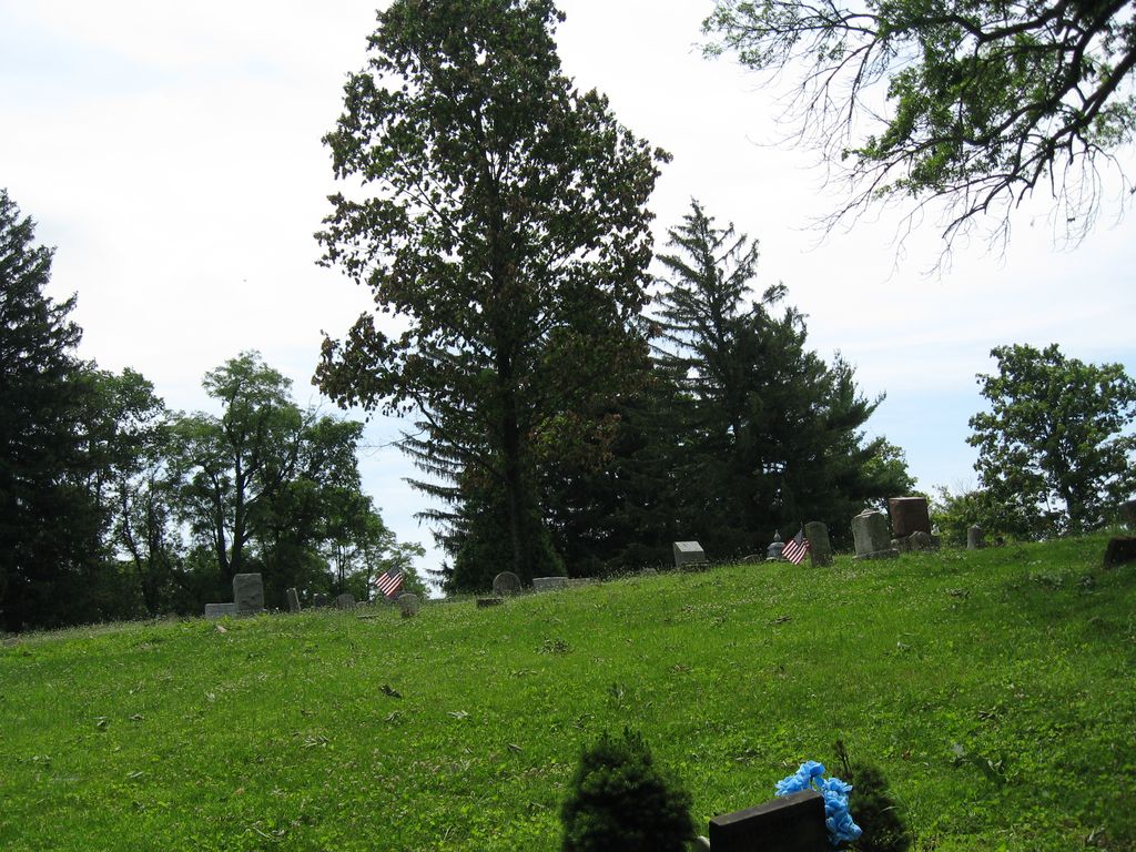
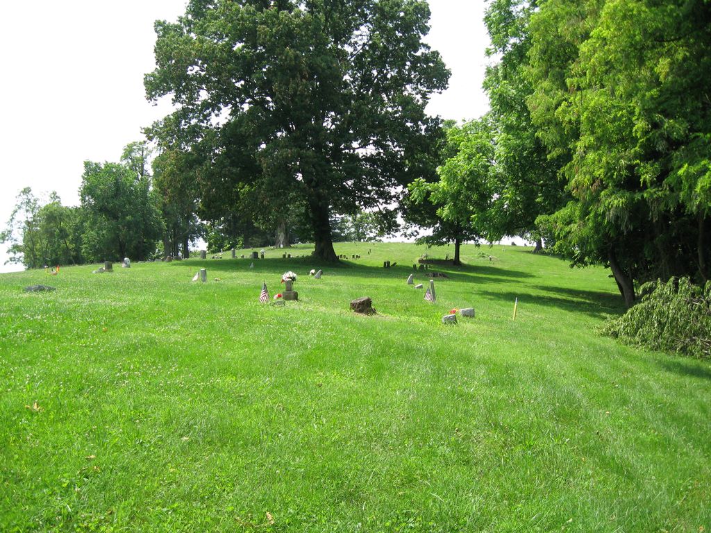
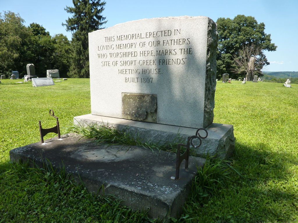
| Description | : | The Short Creek Cemetery, founded in 1807 by Quakers, is located off Ohio State Route 150 at 555 Township Road 107A in Dillonville, Ohio. |
frequently asked questions (FAQ):
-
Where is Short Creek Cemetery?
Short Creek Cemetery is located at Mount Pleasant, Jefferson County ,Ohio ,USA.
-
Short Creek Cemetery cemetery's updated grave count on graveviews.com?
963 memorials
-
Where are the coordinates of the Short Creek Cemetery?
Latitude: 40.1802000
Longitude: -80.8124400
Nearby Cemetories:
1. Short Creek Cemetery
Bergholz, Jefferson County, USA
Coordinate: 40.1817017, -80.8116989
2. Highland Cemetery
Mount Pleasant, Jefferson County, USA
Coordinate: 40.1785580, -80.7966240
3. Hicksite Cemetery
Emerson, Jefferson County, USA
Coordinate: 40.1761017, -80.8289032
4. Seceder Cemetery
Mount Pleasant, Jefferson County, USA
Coordinate: 40.1749992, -80.7936020
5. Oak Grove Cemetery
Mount Pleasant, Jefferson County, USA
Coordinate: 40.1769060, -80.7655010
6. Pleasant Grove Cemetery
Pleasant Grove, Belmont County, USA
Coordinate: 40.1507988, -80.8463974
7. Holly Memorial Gardens
Pleasant Grove, Belmont County, USA
Coordinate: 40.1479460, -80.8419940
8. Saint Casimirs Roman Catholic Church Cemetery
Smithfield, Jefferson County, USA
Coordinate: 40.2131004, -80.8510971
9. Joshua Maule Family Burying Ground
Colerain, Belmont County, USA
Coordinate: 40.1350000, -80.8058330
10. Holmes Pioneer Cemetery
Adena, Jefferson County, USA
Coordinate: 40.2182999, -80.8527985
11. Saint Adalbert Cemetery
Warren Township, Jefferson County, USA
Coordinate: 40.2033005, -80.7518997
12. Wilson Cemetery
Mount Pleasant Township, Jefferson County, USA
Coordinate: 40.1824989, -80.8807983
13. Milhouse Farm Cemetery
Colerain Township, Belmont County, USA
Coordinate: 40.1283330, -80.8008330
14. Friends Meeting House Cemetery
Adena, Jefferson County, USA
Coordinate: 40.1903970, -80.8805160
15. Grange Friends Cemetery
Colerain Township, Belmont County, USA
Coordinate: 40.1270140, -80.8062420
16. Alley Cemetery
Harrisville, Harrison County, USA
Coordinate: 40.1828003, -80.8861008
17. Concord Quaker Cemetery
Colerain Township, Belmont County, USA
Coordinate: 40.1244011, -80.7947006
18. First Concord Cemetery
Colerain, Belmont County, USA
Coordinate: 40.1238880, -80.7888880
19. Adena Presbyterian Church Cemetery
Smithfield, Jefferson County, USA
Coordinate: 40.2161805, -80.8742561
20. West Cemetery
Upland Heights, Jefferson County, USA
Coordinate: 40.1606241, -80.7343555
21. Olive Branch Cemetery
Harrisville, Harrison County, USA
Coordinate: 40.1810989, -80.8953018
22. Scotch Ridge Cemetery
Martins Ferry, Belmont County, USA
Coordinate: 40.1303490, -80.7606390
23. Rehoboth Cemetery
Smithfield Township, Jefferson County, USA
Coordinate: 40.2336006, -80.8593979
24. Wheeler Cemetery
Smithfield, Jefferson County, USA
Coordinate: 40.2453003, -80.7996979