
| Memorials | : | 32 |
| Location | : | Mount Pleasant, Jefferson County, USA |
| Coordinate | : | 40.1769060, -80.7655010 |
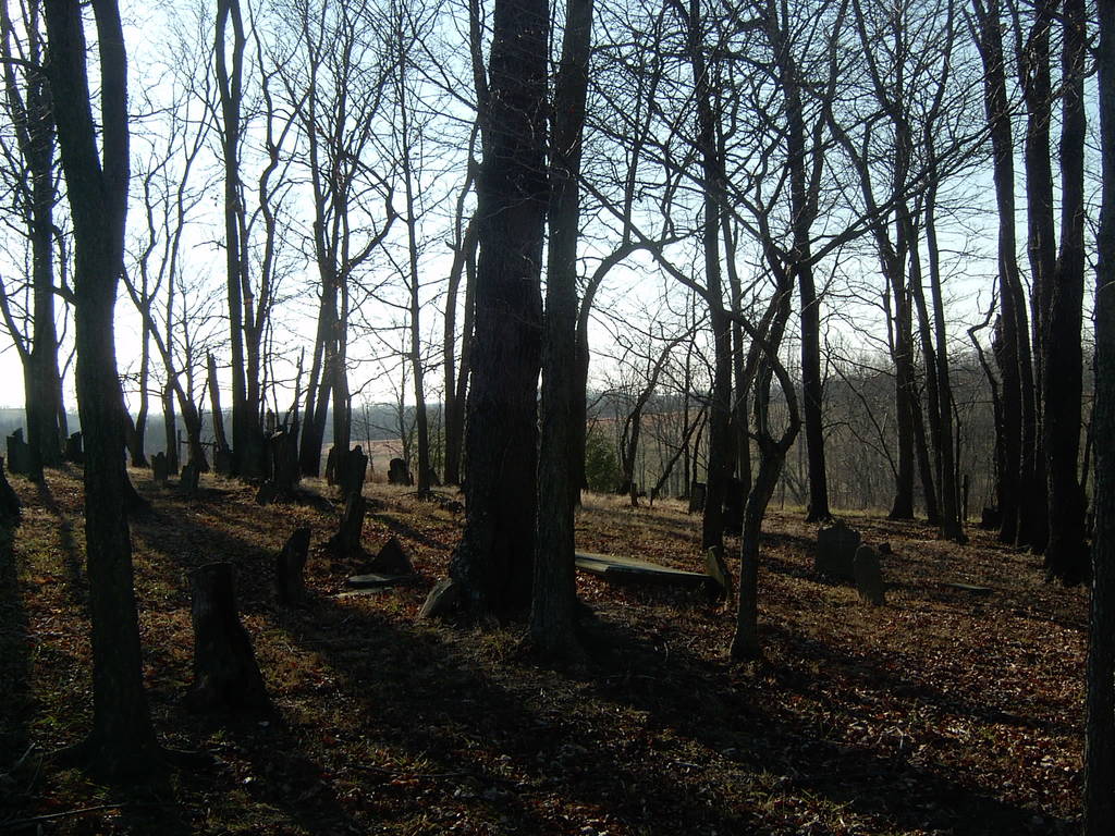
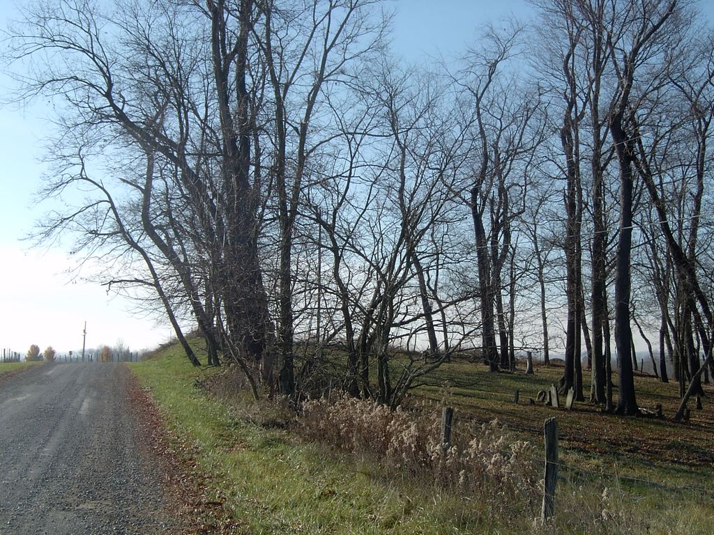
| Description | : | Oak Grove Cemetery nearby former site of Associated Reformed Church, known as "Union House" - a Scottish Presbyterian Church: The Oak Grove Site (1818-1829) – For the next eleven years, 1818 to 1829, the congregation occupied the one-half acre of the Associated Reformed Church, known as the Union House, located about two miles east of Mt. Pleasant, with the present enclosed graveyard. This site is just south of the former site of the Old Oak Grove School, near the farm later owned by William Murray. The congregation enjoyed a luxury building in the form of a heated stove. In this spot... Read More |
frequently asked questions (FAQ):
-
Where is Oak Grove Cemetery?
Oak Grove Cemetery is located at Oak Grove Rd. Twp.107 Mount Pleasant, Jefferson County ,Ohio , 43943USA.
-
Oak Grove Cemetery cemetery's updated grave count on graveviews.com?
32 memorials
-
Where are the coordinates of the Oak Grove Cemetery?
Latitude: 40.1769060
Longitude: -80.7655010
Nearby Cemetories:
1. Seceder Cemetery
Mount Pleasant, Jefferson County, USA
Coordinate: 40.1749992, -80.7936020
2. Highland Cemetery
Mount Pleasant, Jefferson County, USA
Coordinate: 40.1785580, -80.7966240
3. Saint Adalbert Cemetery
Warren Township, Jefferson County, USA
Coordinate: 40.2033005, -80.7518997
4. West Cemetery
Upland Heights, Jefferson County, USA
Coordinate: 40.1606241, -80.7343555
5. Upland Heights Cemetery
Warren Township, Jefferson County, USA
Coordinate: 40.1608009, -80.7285995
6. Short Creek Cemetery
Bergholz, Jefferson County, USA
Coordinate: 40.1817017, -80.8116989
7. Short Creek Cemetery
Mount Pleasant, Jefferson County, USA
Coordinate: 40.1802000, -80.8124400
8. King Family Cemetery
Rayland, Jefferson County, USA
Coordinate: 40.1689423, -80.7109297
9. Scotch Ridge Cemetery
Martins Ferry, Belmont County, USA
Coordinate: 40.1303490, -80.7606390
10. Hicksite Cemetery
Emerson, Jefferson County, USA
Coordinate: 40.1761017, -80.8289032
11. Joshua Maule Family Burying Ground
Colerain, Belmont County, USA
Coordinate: 40.1350000, -80.8058330
12. Cochran Family Cemetery
Martins Ferry, Belmont County, USA
Coordinate: 40.1361110, -80.7230570
13. Nixon Farm Cemetery
Martins Ferry, Belmont County, USA
Coordinate: 40.1325000, -80.7277780
14. Bayless Cemetery
Rayland, Jefferson County, USA
Coordinate: 40.2122930, -80.7123024
15. Mound Cemetery
Tiltonsville, Jefferson County, USA
Coordinate: 40.1744003, -80.6949997
16. Milhouse Farm Cemetery
Colerain Township, Belmont County, USA
Coordinate: 40.1283330, -80.8008330
17. First Concord Cemetery
Colerain, Belmont County, USA
Coordinate: 40.1238880, -80.7888880
18. Concord Quaker Cemetery
Colerain Township, Belmont County, USA
Coordinate: 40.1244011, -80.7947006
19. Grange Friends Cemetery
Colerain Township, Belmont County, USA
Coordinate: 40.1270140, -80.8062420
20. Hopewell Methodist Cemetery
Warren Township, Jefferson County, USA
Coordinate: 40.2236824, -80.7117462
21. Riley Hill Road Cemetery
Clearview, Ohio County, USA
Coordinate: 40.1456299, -80.6941910
22. Oaklawn Memorial Park
Clearview, Ohio County, USA
Coordinate: 40.1469002, -80.6931000
23. Warrenton Cemetery
Rayland, Jefferson County, USA
Coordinate: 40.1937700, -80.6838900
24. Holly Memorial Gardens
Pleasant Grove, Belmont County, USA
Coordinate: 40.1479460, -80.8419940