| Memorials | : | 0 |
| Location | : | Oslo, Oslo kommune, Norway |
| Coordinate | : | 59.9566690, 10.6503380 |
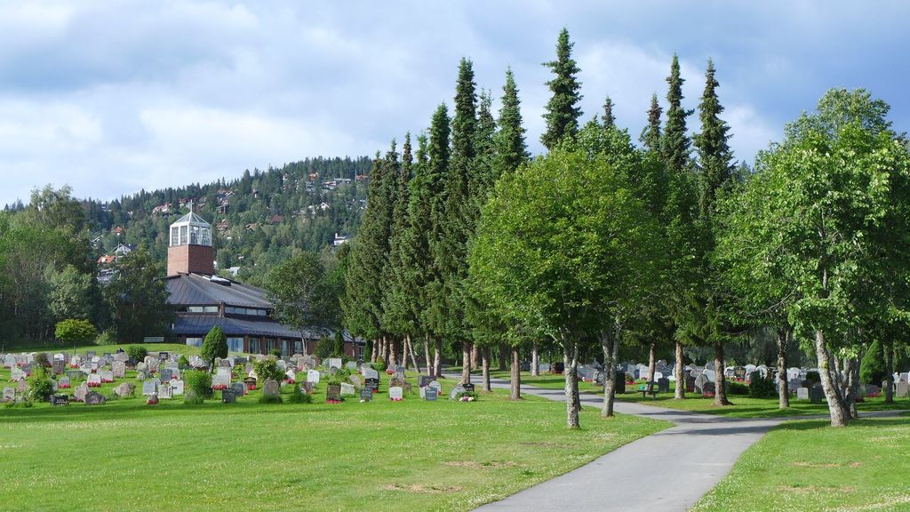
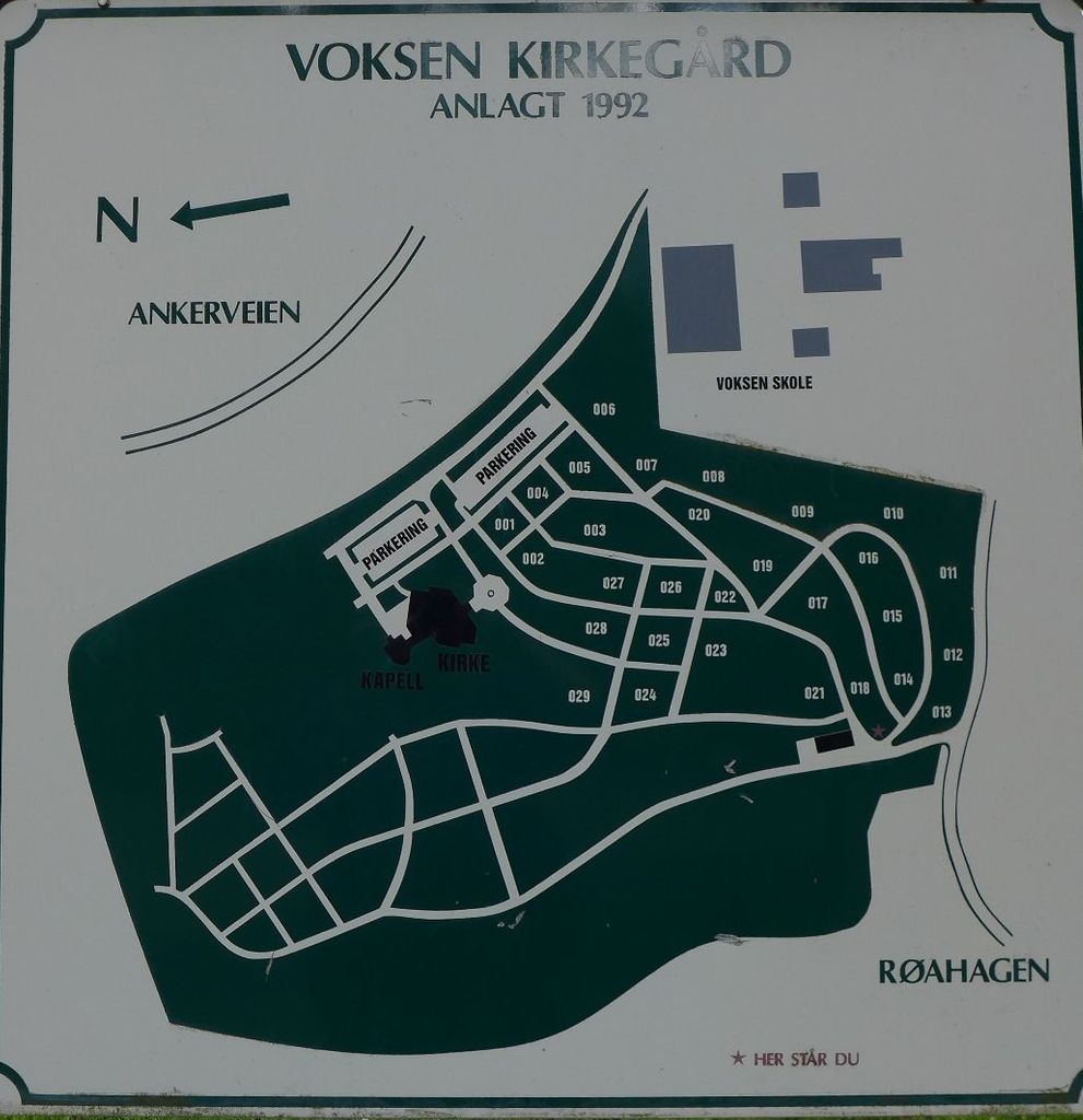
| Description | : | Voksen cemetery is in Vestre Aker district in Oslo. The cemetery is about (236 dekar) 58,32 acres (US/UK), of which (90 dekar) 22,24 acres (US/UK) have been accumulated - it was commissioned in 1992. Voksen church was consecrated on April 23, 1995. The cemetery consists of, among other things, own fields for Muslims and the Bahá'í communities. In addition, the pagan religious community Bifrost got its own field in 2009. Bifrost is an umbrella organization for various exposures (ulike blotslag) in Norway that professes to the faith of the Norse gods (Odin and Tor).... Read More |
frequently asked questions (FAQ):
-
Where is Voksen Cemetery?
Voksen Cemetery is located at Jarbakken 7 Oslo, Oslo kommune ,Oslo fylke , 0767Norway.
-
Voksen Cemetery cemetery's updated grave count on graveviews.com?
0 memorials
-
Where are the coordinates of the Voksen Cemetery?
Latitude: 59.9566690
Longitude: 10.6503380
Nearby Cemetories:
1. Ris urnelund
Oslo, Oslo kommune, Norway
Coordinate: 59.9478110, 10.7012330
2. Ullern kirkegård
Oslo, Oslo kommune, Norway
Coordinate: 59.9252790, 10.6542960
3. Vestre Gravlund
Oslo, Oslo kommune, Norway
Coordinate: 59.9306100, 10.6998500
4. Vestre Aker kirkegård
Oslo, Oslo kommune, Norway
Coordinate: 59.9369400, 10.7291200
5. Polhøgda Cemetery
Lysaker, Bærum kommune, Norway
Coordinate: 59.9052560, 10.6348830
6. Haslum Cemetery
Haslum, Bærum kommune, Norway
Coordinate: 59.9247660, 10.5671860
7. Nordre gravlund
Oslo, Oslo kommune, Norway
Coordinate: 59.9371400, 10.7483990
8. Steinsskogen Cemetery
Baerums Verk, Bærum kommune, Norway
Coordinate: 59.9318020, 10.5530360
9. Gamle Aker kirkegård
Oslo, Oslo kommune, Norway
Coordinate: 59.9237680, 10.7469560
10. Vår Frelsers gravlund
Oslo, Oslo kommune, Norway
Coordinate: 59.9199500, 10.7435400
11. Grefsen kirkegård
Oslo, Oslo kommune, Norway
Coordinate: 59.9553656, 10.7710968
12. Sørkedalen kirkegård
Oslo, Oslo kommune, Norway
Coordinate: 60.0156200, 10.6165900
13. Krist kirkegård
Oslo, Oslo kommune, Norway
Coordinate: 59.9172300, 10.7467380
14. Det kongelige mausoleum i Akershus Slott
Oslo, Oslo kommune, Norway
Coordinate: 59.9067600, 10.7361560
15. Sofienberg jødiske gravlund
Oslo, Oslo kommune, Norway
Coordinate: 59.9229390, 10.7668660
16. Mariekirkens ruin
Oslo, Oslo kommune, Norway
Coordinate: 59.9034515, 10.7621204
17. Hallvardskatedralens ruin
Oslo, Oslo kommune, Norway
Coordinate: 59.9058810, 10.7686740
18. Gamlebyen Gravlund
Oslo, Oslo kommune, Norway
Coordinate: 59.9046240, 10.7709790
19. Henie Onstad Kunstsenter Grounds
Sandvika, Bærum kommune, Norway
Coordinate: 59.8886700, 10.5529220
20. Bryn Kirke
Baerums Verk, Bærum kommune, Norway
Coordinate: 59.9214260, 10.4872140
21. Østre Gravlund
Oslo, Oslo kommune, Norway
Coordinate: 59.9130300, 10.8088490
22. Østre Aker kirkegård
Okern, Oslo kommune, Norway
Coordinate: 59.9217730, 10.8197180
23. Helsfyr gravlund
Oslo, Oslo kommune, Norway
Coordinate: 59.9132810, 10.8124210
24. Bekkelaget urnelund
Oslo, Oslo kommune, Norway
Coordinate: 59.8849135, 10.7881908


