| Memorials | : | 1 |
| Location | : | Oslo, Oslo kommune, Norway |
| Coordinate | : | 59.9306100, 10.6998500 |
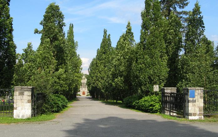
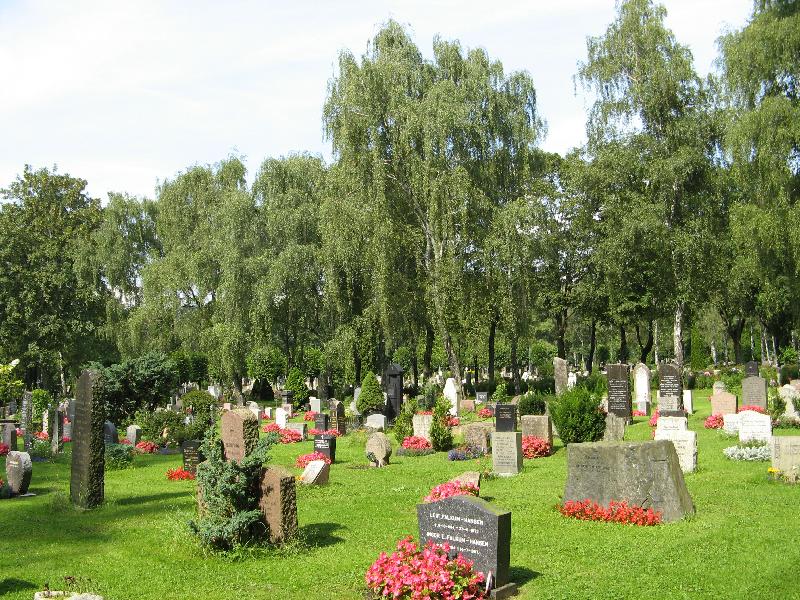
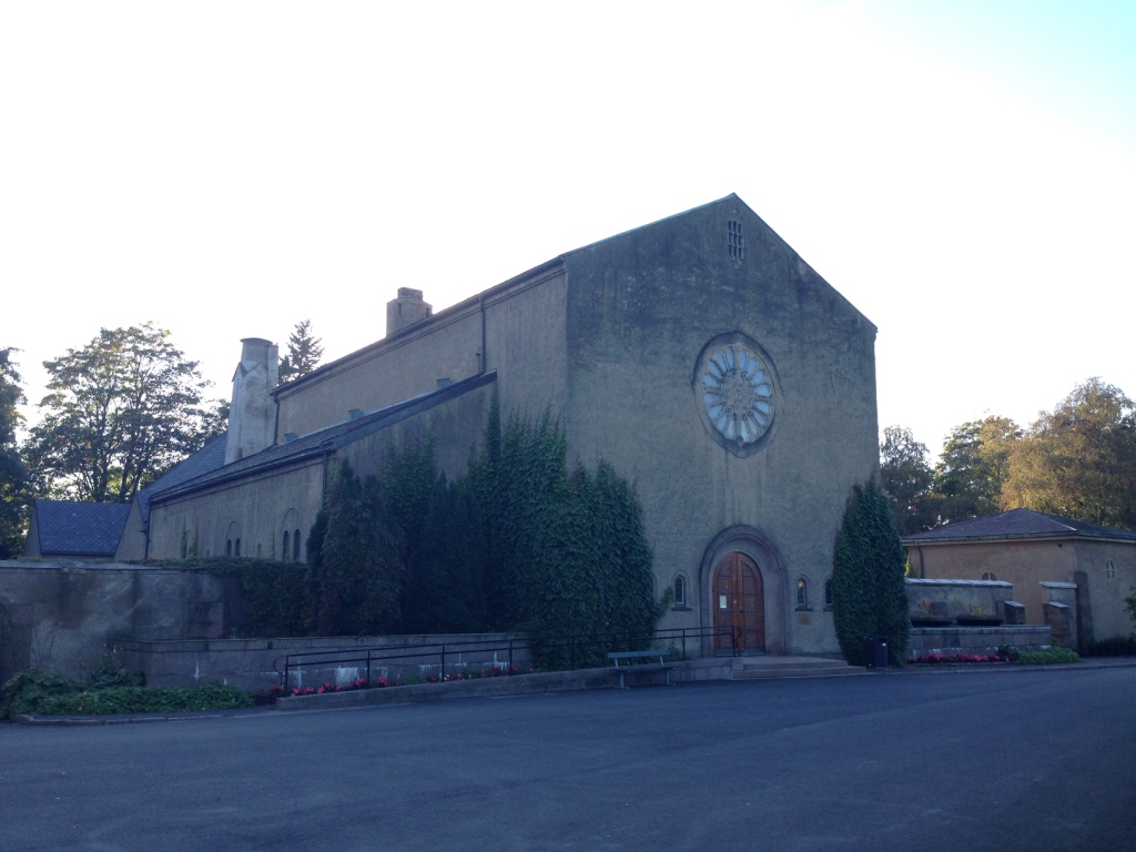
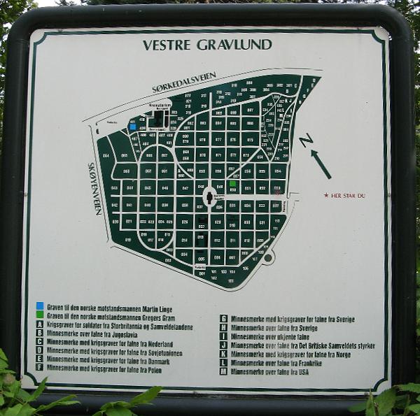
| Description | : | Vestre gravlund in Oslo is in Ullern district. It was originally built on the properties of the farms Volvat, Møllerløkken and Nedre Borgen. Monolitveien separates the cemetery and Frognerparken (with Vigelandsanlegget). Skøyenveien runs on one edge of the cemetery, and Sørkedalsveien on the last two. Vestre gravlund was inaugurated September 30, 1902 - it has been expanded several times, the last being in 1980. With its (243 dekar) 60,05 acres (US/UK), it is Norway's largest cemetery. Vestre Gravlund chapel in the middle of the cemetery was inaugurated in 1902. In addition, there... Read More |
frequently asked questions (FAQ):
-
Where is Vestre Gravlund?
Vestre Gravlund is located at Sørkedalsveien 66 Oslo, Oslo kommune ,Oslo fylke , 0369Norway.
-
Vestre Gravlund cemetery's updated grave count on graveviews.com?
1 memorials
-
Where are the coordinates of the Vestre Gravlund?
Latitude: 59.9306100
Longitude: 10.6998500
Nearby Cemetories:
1. Vestre Aker kirkegård
Oslo, Oslo kommune, Norway
Coordinate: 59.9369400, 10.7291200
2. Ris urnelund
Oslo, Oslo kommune, Norway
Coordinate: 59.9478110, 10.7012330
3. Ullern kirkegård
Oslo, Oslo kommune, Norway
Coordinate: 59.9252790, 10.6542960
4. Vår Frelsers gravlund
Oslo, Oslo kommune, Norway
Coordinate: 59.9199500, 10.7435400
5. Gamle Aker kirkegård
Oslo, Oslo kommune, Norway
Coordinate: 59.9237680, 10.7469560
6. Nordre gravlund
Oslo, Oslo kommune, Norway
Coordinate: 59.9371400, 10.7483990
7. Krist kirkegård
Oslo, Oslo kommune, Norway
Coordinate: 59.9172300, 10.7467380
8. Det kongelige mausoleum i Akershus Slott
Oslo, Oslo kommune, Norway
Coordinate: 59.9067600, 10.7361560
9. Sofienberg jødiske gravlund
Oslo, Oslo kommune, Norway
Coordinate: 59.9229390, 10.7668660
10. Voksen Cemetery
Oslo, Oslo kommune, Norway
Coordinate: 59.9566690, 10.6503380
11. Polhøgda Cemetery
Lysaker, Bærum kommune, Norway
Coordinate: 59.9052560, 10.6348830
12. Mariekirkens ruin
Oslo, Oslo kommune, Norway
Coordinate: 59.9034515, 10.7621204
13. Hallvardskatedralens ruin
Oslo, Oslo kommune, Norway
Coordinate: 59.9058810, 10.7686740
14. Grefsen kirkegård
Oslo, Oslo kommune, Norway
Coordinate: 59.9553656, 10.7710968
15. Gamlebyen Gravlund
Oslo, Oslo kommune, Norway
Coordinate: 59.9046240, 10.7709790
16. Østre Gravlund
Oslo, Oslo kommune, Norway
Coordinate: 59.9130300, 10.8088490
17. Helsfyr gravlund
Oslo, Oslo kommune, Norway
Coordinate: 59.9132810, 10.8124210
18. Østre Aker kirkegård
Okern, Oslo kommune, Norway
Coordinate: 59.9217730, 10.8197180
19. Bekkelaget urnelund
Oslo, Oslo kommune, Norway
Coordinate: 59.8849135, 10.7881908
20. Haslum Cemetery
Haslum, Bærum kommune, Norway
Coordinate: 59.9247660, 10.5671860
21. Steinsskogen Cemetery
Baerums Verk, Bærum kommune, Norway
Coordinate: 59.9318020, 10.5530360
22. Alfaset – tysk krigskirkegård
Oslo, Oslo kommune, Norway
Coordinate: 59.9314700, 10.8559100
23. Alfaset gravlund
Oslo, Oslo kommune, Norway
Coordinate: 59.9337100, 10.8583210
24. Henie Onstad Kunstsenter Grounds
Sandvika, Bærum kommune, Norway
Coordinate: 59.8886700, 10.5529220


