
| Memorials | : | 0 |
| Location | : | Holmfirth, Metropolitan Borough of Kirklees, England |
| Coordinate | : | 53.5711900, -1.7850100 |
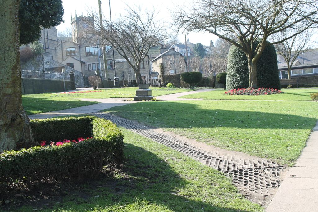
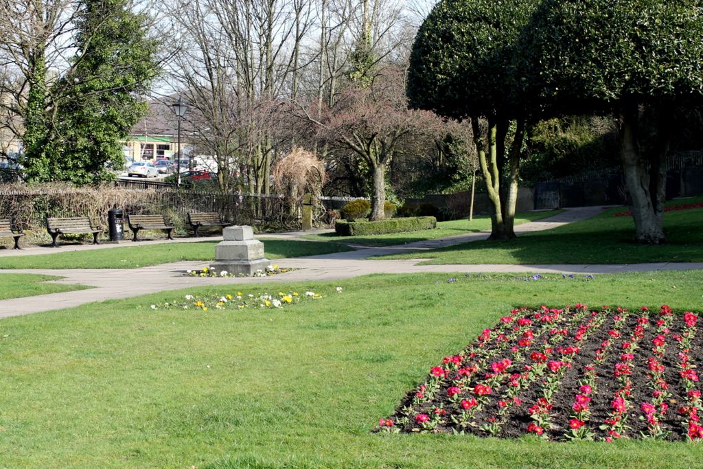
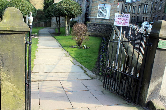
| Description | : | Holmeside Memorial Garden is a small grassy area with flower beds, and paths which has a number of very old gravestones. It is between Station Road and the River Holme. There is a footbridge by which you an access the Garden from near the Holmfirth Methodist Church. Some of the graves are for people who were parishioners of Holy Trinity, the Parish Church of Holmfirth. The current cemetery for Holy Trinity is on Cemetery Road up on a hill overlooking town. There is no sign on the gate giving the name of the Garden. |
frequently asked questions (FAQ):
-
Where is Holmeside Memorial Garden?
Holmeside Memorial Garden is located at 8 Station Rd, Holmfirth Holmfirth, Metropolitan Borough of Kirklees ,West Yorkshire , HD9 1AB, UEngland.
-
Holmeside Memorial Garden cemetery's updated grave count on graveviews.com?
0 memorials
-
Where are the coordinates of the Holmeside Memorial Garden?
Latitude: 53.5711900
Longitude: -1.7850100
Nearby Cemetories:
1. Holmfirth Methodist Churchyard
Holmfirth, Metropolitan Borough of Kirklees, England
Coordinate: 53.5715660, -1.7863020
2. Lane Congregational Burial Ground
Holmfirth, Metropolitan Borough of Kirklees, England
Coordinate: 53.5685100, -1.7936000
3. Lane United Reformed Church Upper Graveyard
Holmfirth, Metropolitan Borough of Kirklees, England
Coordinate: 53.5686300, -1.7937400
4. Holy Trinity Church Cemetery
Holmfirth, Metropolitan Borough of Kirklees, England
Coordinate: 53.5661190, -1.7909940
5. St. John the Evangelist Churchyard
Upperthong, Metropolitan Borough of Kirklees, England
Coordinate: 53.5690140, -1.7948420
6. Holmfirth Methodist Burial Ground
Netherthong, Metropolitan Borough of Kirklees, England
Coordinate: 53.5811900, -1.7894200
7. Wooldale Friends Burial Ground
Holmfirth, Metropolitan Borough of Kirklees, England
Coordinate: 53.5782550, -1.7700500
8. All Saints Churchyard
Netherthong, Metropolitan Borough of Kirklees, England
Coordinate: 53.5829400, -1.7900900
9. Lydgate Chapel (Unitarian)
Holmfirth, Metropolitan Borough of Kirklees, England
Coordinate: 53.5787110, -1.7606200
10. Christ Church Churchyard
New Mill, Metropolitan Borough of Kirklees, England
Coordinate: 53.5747000, -1.7506220
11. Holy Trinity Churchyard
Hepworth, Metropolitan Borough of Kirklees, England
Coordinate: 53.5590200, -1.7558900
12. Hepworth Wesleyan Methodist Chapelyard
Hepworth, Metropolitan Borough of Kirklees, England
Coordinate: 53.5620500, -1.7528000
13. Hinchcliffe Mill Wesleyan Chapelyard
Holmbridge, Metropolitan Borough of Kirklees, England
Coordinate: 53.5590200, -1.8160100
14. St David Churchyard
Holmbridge, Metropolitan Borough of Kirklees, England
Coordinate: 53.5571000, -1.8192900
15. St. George's Churchyard
Brockholes, Metropolitan Borough of Kirklees, England
Coordinate: 53.5955900, -1.7724400
16. Hade Edge Methodist Chapelyard
Holmfirth, Metropolitan Borough of Kirklees, England
Coordinate: 53.5446890, -1.7814530
17. St Mary Churchyard
Wilshaw, Metropolitan Borough of Kirklees, England
Coordinate: 53.5846000, -1.8269100
18. St. Thomas Churchyard
Thurstonland, Metropolitan Borough of Kirklees, England
Coordinate: 53.5932710, -1.7501120
19. St. Mary the Virgin Churchyard
Honley, Metropolitan Borough of Kirklees, England
Coordinate: 53.6047900, -1.7929600
20. Gatehead Primitive Methodist Chapelyard
Hepworth, Metropolitan Borough of Kirklees, England
Coordinate: 53.5494500, -1.7369400
21. St. Mary's Church Cemetery
Honley, Metropolitan Borough of Kirklees, England
Coordinate: 53.6068600, -1.7943750
22. Gatehead Methodist Chapelyard
Hepworth, Metropolitan Borough of Kirklees, England
Coordinate: 53.5497100, -1.7359500
23. St James Churchyard
Meltham, Metropolitan Borough of Kirklees, England
Coordinate: 53.5947200, -1.8388200
24. Calmlands Cemetery
Meltham, Metropolitan Borough of Kirklees, England
Coordinate: 53.5874570, -1.8518656