
| Memorials | : | 0 |
| Location | : | Upperthong, Metropolitan Borough of Kirklees, England |
| Coordinate | : | 53.5690140, -1.7948420 |
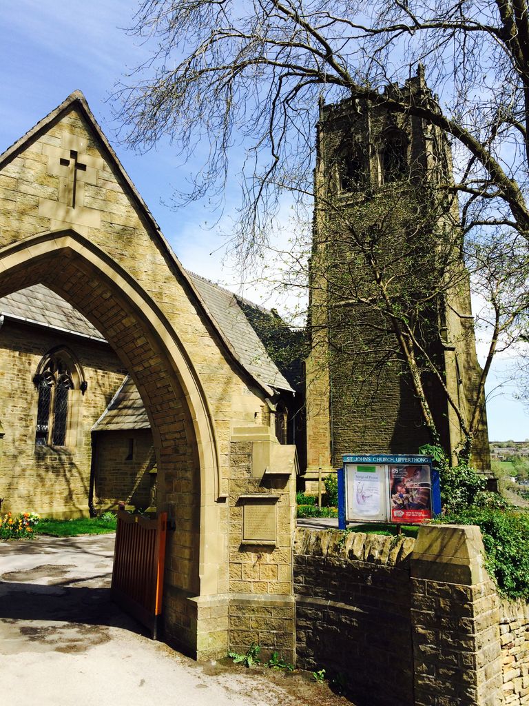
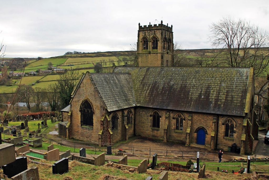
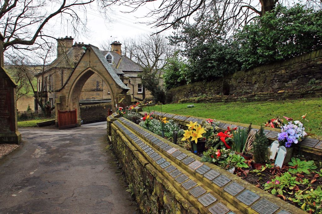
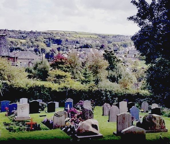
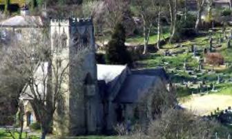
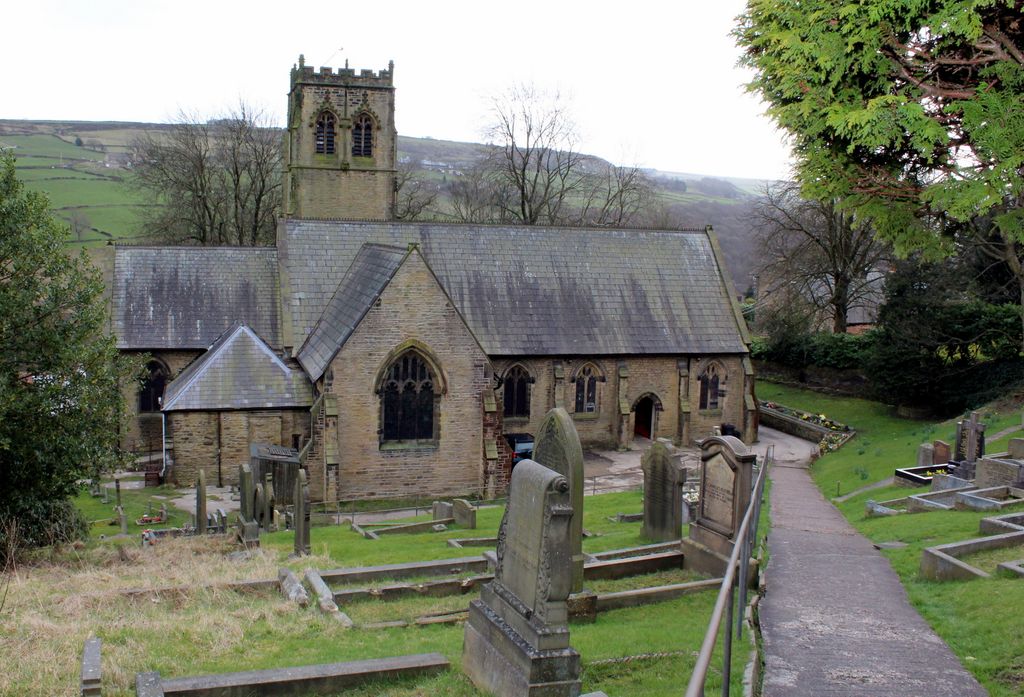
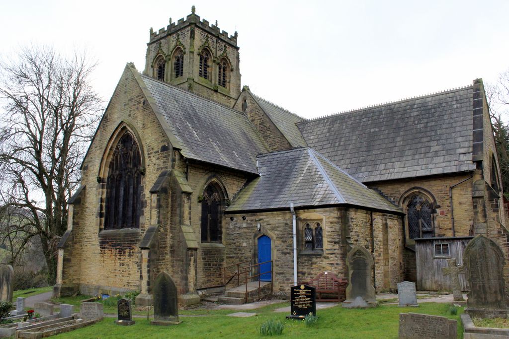
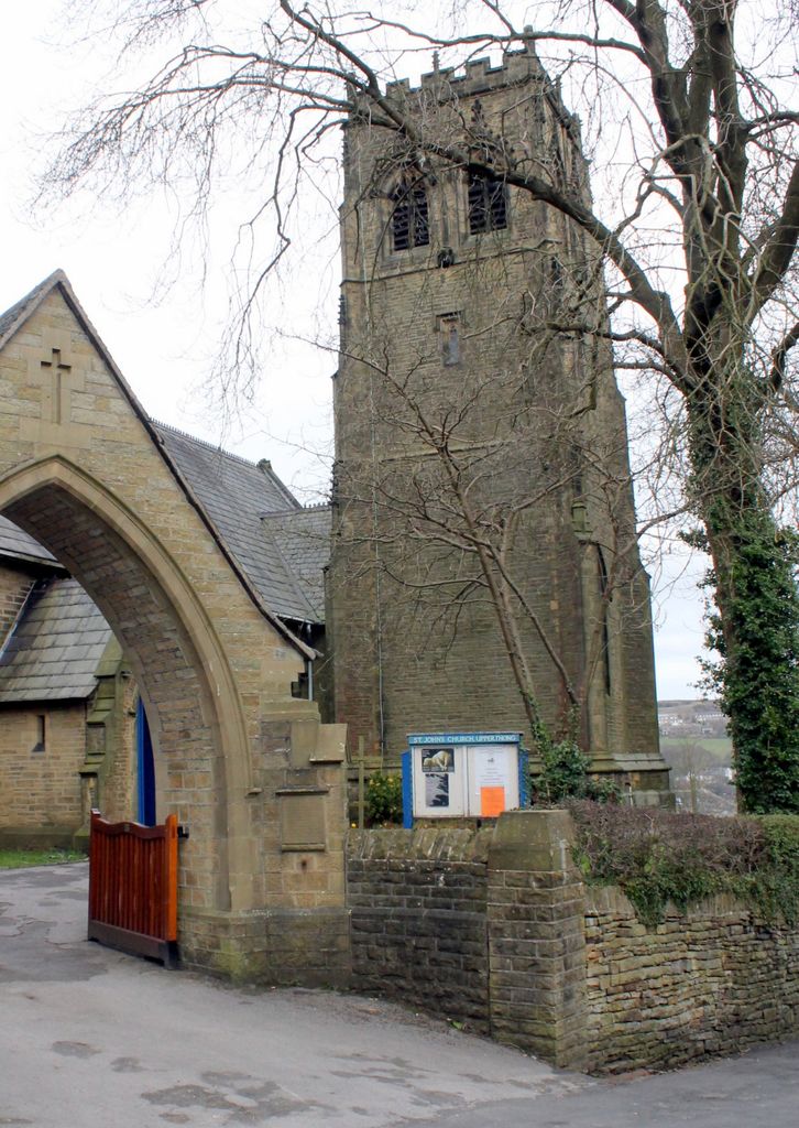
| Description | : | St. John the Evangelist Churchyard Cemetery on Upperthong Lane is located in the village of Upperthong with about 800 residents. It is Parish Church of the Church of England. The church building was consecrated in 1848. Situated behind the church, the cemetery is well-maintained and appeared first on the map in 1892. It is still an active cemetery. The church became a Grade II Historical building in 1983. Two actors from the BBC comedy “Last of the Summer Wine,” Peter Sallis and Bill Owen, have found their last resting place within the cemetery. The church was one... Read More |
frequently asked questions (FAQ):
-
Where is St. John the Evangelist Churchyard?
St. John the Evangelist Churchyard is located at Upperthong, Metropolitan Borough of Kirklees ,West Yorkshire ,England.
-
St. John the Evangelist Churchyard cemetery's updated grave count on graveviews.com?
0 memorials
-
Where are the coordinates of the St. John the Evangelist Churchyard?
Latitude: 53.5690140
Longitude: -1.7948420
Nearby Cemetories:
1. Lane United Reformed Church Upper Graveyard
Holmfirth, Metropolitan Borough of Kirklees, England
Coordinate: 53.5686300, -1.7937400
2. Lane Congregational Burial Ground
Holmfirth, Metropolitan Borough of Kirklees, England
Coordinate: 53.5685100, -1.7936000
3. Holy Trinity Church Cemetery
Holmfirth, Metropolitan Borough of Kirklees, England
Coordinate: 53.5661190, -1.7909940
4. Holmfirth Methodist Churchyard
Holmfirth, Metropolitan Borough of Kirklees, England
Coordinate: 53.5715660, -1.7863020
5. Holmeside Memorial Garden
Holmfirth, Metropolitan Borough of Kirklees, England
Coordinate: 53.5711900, -1.7850100
6. Holmfirth Methodist Burial Ground
Netherthong, Metropolitan Borough of Kirklees, England
Coordinate: 53.5811900, -1.7894200
7. All Saints Churchyard
Netherthong, Metropolitan Borough of Kirklees, England
Coordinate: 53.5829400, -1.7900900
8. Hinchcliffe Mill Wesleyan Chapelyard
Holmbridge, Metropolitan Borough of Kirklees, England
Coordinate: 53.5590200, -1.8160100
9. Wooldale Friends Burial Ground
Holmfirth, Metropolitan Borough of Kirklees, England
Coordinate: 53.5782550, -1.7700500
10. St David Churchyard
Holmbridge, Metropolitan Borough of Kirklees, England
Coordinate: 53.5571000, -1.8192900
11. Lydgate Chapel (Unitarian)
Holmfirth, Metropolitan Borough of Kirklees, England
Coordinate: 53.5787110, -1.7606200
12. St Mary Churchyard
Wilshaw, Metropolitan Borough of Kirklees, England
Coordinate: 53.5846000, -1.8269100
13. Holy Trinity Churchyard
Hepworth, Metropolitan Borough of Kirklees, England
Coordinate: 53.5590200, -1.7558900
14. Hade Edge Methodist Chapelyard
Holmfirth, Metropolitan Borough of Kirklees, England
Coordinate: 53.5446890, -1.7814530
15. Hepworth Wesleyan Methodist Chapelyard
Hepworth, Metropolitan Borough of Kirklees, England
Coordinate: 53.5620500, -1.7528000
16. Christ Church Churchyard
New Mill, Metropolitan Borough of Kirklees, England
Coordinate: 53.5747000, -1.7506220
17. St. George's Churchyard
Brockholes, Metropolitan Borough of Kirklees, England
Coordinate: 53.5955900, -1.7724400
18. St. Mary the Virgin Churchyard
Honley, Metropolitan Borough of Kirklees, England
Coordinate: 53.6047900, -1.7929600
19. St. Thomas Churchyard
Thurstonland, Metropolitan Borough of Kirklees, England
Coordinate: 53.5932710, -1.7501120
20. St James Churchyard
Meltham, Metropolitan Borough of Kirklees, England
Coordinate: 53.5947200, -1.8388200
21. St. Mary's Church Cemetery
Honley, Metropolitan Borough of Kirklees, England
Coordinate: 53.6068600, -1.7943750
22. Calmlands Cemetery
Meltham, Metropolitan Borough of Kirklees, England
Coordinate: 53.5874570, -1.8518656
23. Gatehead Primitive Methodist Chapelyard
Hepworth, Metropolitan Borough of Kirklees, England
Coordinate: 53.5494500, -1.7369400
24. Gatehead Methodist Chapelyard
Hepworth, Metropolitan Borough of Kirklees, England
Coordinate: 53.5497100, -1.7359500