
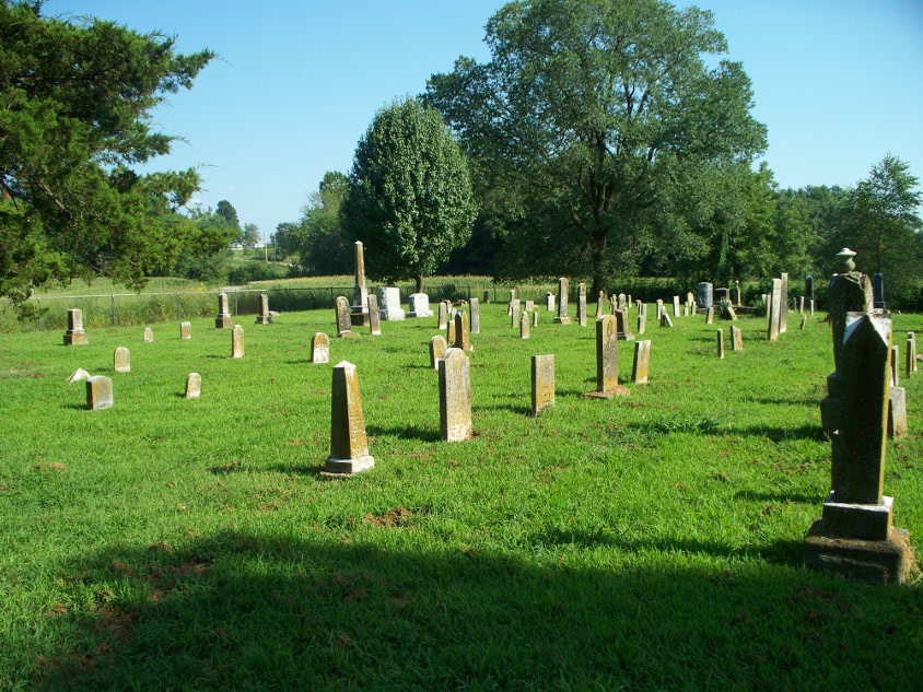
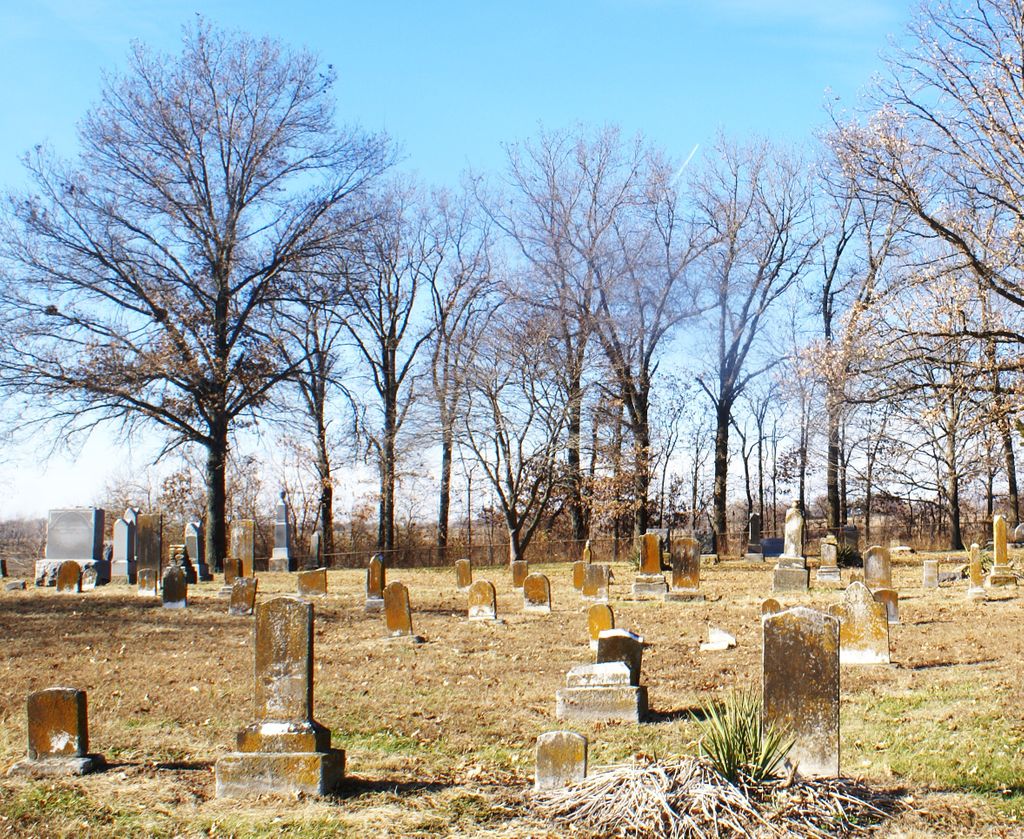
| Memorials | : | 6 |
| Location | : | Pettis County, USA |
| Coordinate | : | 38.9169006, -93.4227982 |
frequently asked questions (FAQ):
-
Where is South Fork Cemetery?
South Fork Cemetery is located at Pettis County ,Missouri ,USA.
-
South Fork Cemetery cemetery's updated grave count on graveviews.com?
6 memorials
-
Where are the coordinates of the South Fork Cemetery?
Latitude: 38.9169006
Longitude: -93.4227982

Nearby Cemetories:
1. Blackwater Chapel Cemetery
Houstonia, Pettis County, USA
Coordinate: 38.8908000, -93.4661600
2. Fairview Cemetery
Sweet Springs, Saline County, USA
Coordinate: 38.9714012, -93.4135971
3. Houstonia Cemetery
Houstonia, Pettis County, USA
Coordinate: 38.8941994, -93.3531036
4. Mount Zion Cemetery
Dunksburg, Johnson County, USA
Coordinate: 38.8913900, -93.4975490
5. Oak Grove Cemetery
Sweet Springs, Saline County, USA
Coordinate: 38.9710999, -93.3683014
6. Gowin Cemetery
Dunksburg, Johnson County, USA
Coordinate: 38.8747550, -93.4994240
7. County Line Cemetery
Blackwater Township, Pettis County, USA
Coordinate: 38.8394012, -93.4644012
8. Holy Cross Lutheran Cemetery
Emma, Lafayette County, USA
Coordinate: 38.9828987, -93.4947662
9. Rose Valley Methodist Episcopal Cemetery
Sweet Springs, Saline County, USA
Coordinate: 38.9627991, -93.3277969
10. Gross Cemetery
Sweet Springs, Saline County, USA
Coordinate: 39.0130997, -93.4085999
11. Christ Lutheran Cemetery
Sweet Springs, Saline County, USA
Coordinate: 38.9817970, -93.3272270
12. Rothwell Cemetery
Johnson County, USA
Coordinate: 38.8711010, -93.5410000
13. Payne Cemetery
Dunksburg, Johnson County, USA
Coordinate: 38.8936005, -93.5541992
14. Saint John Cemetery
Emma, Lafayette County, USA
Coordinate: 38.9911003, -93.5211029
15. Lynch Cemetery
Sweet Springs, Saline County, USA
Coordinate: 39.0262400, -93.4106200
16. Hocker Cemetery
Knob Noster, Johnson County, USA
Coordinate: 38.8567009, -93.5413971
17. Poe Cemetery
Sweet Springs, Saline County, USA
Coordinate: 39.0249200, -93.4641600
18. Marshall Cemetery
Warrensburg, Johnson County, USA
Coordinate: 38.8750000, -93.5586014
19. Moore Family Cemetery
La Monte, Pettis County, USA
Coordinate: 38.8034444, -93.4769722
20. Concordia Methodist Cemetery
Concordia, Lafayette County, USA
Coordinate: 38.9647268, -93.5668693
21. Evangelical Cemetery
Concordia, Lafayette County, USA
Coordinate: 38.9641991, -93.5674973
22. Antioch Cemetery
Saline County, USA
Coordinate: 39.0096510, -93.3205430
23. Concordia Baptist Cemetery
Concordia, Lafayette County, USA
Coordinate: 38.9641700, -93.5677100
24. Prairie Chapel Presbyterian Cemetery
Dresden, Pettis County, USA
Coordinate: 38.8050003, -93.3553009