
| Memorials | : | 0 |
| Location | : | Stoke Prior, Bromsgrove District, England |
| Website | : | www.achurchnearyou.com/church/18739/ |
| Coordinate | : | 52.3073925, -2.0757422 |
frequently asked questions (FAQ):
-
Where is St. Michaels & All Angels Churchyard?
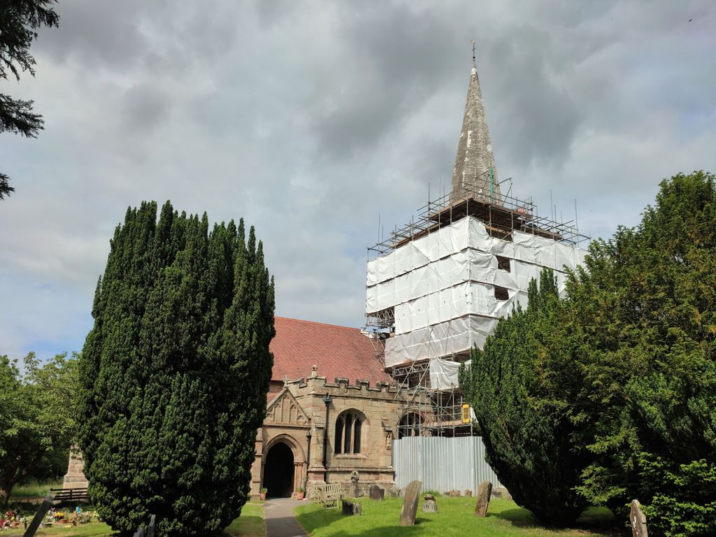
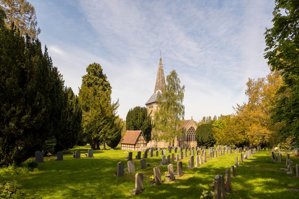
St. Michaels & All Angels Churchyard is located at Hanbury Road Stoke Prior, Bromsgrove District ,Worcestershire , B60 4JTEngland.
-
St. Michaels & All Angels Churchyard cemetery's updated grave count on graveviews.com?
0 memorials
-
Where are the coordinates of the St. Michaels & All Angels Churchyard?
Latitude: 52.3073925
Longitude: -2.0757422


Nearby Cemetories:
1. St. Michael's Churchyard
Upton Warren, Wychavon District, England
Coordinate: 52.3053500, -2.1030600
2. St. Peter's Churchyard
Bromsgrove, Bromsgrove District, England
Coordinate: 52.3266220, -2.0706270
3. St. Mary de Wyche Churchyard
Wychbold, Wychavon District, England
Coordinate: 52.2910500, -2.1047300
4. Bromsgrove Friends Burial Ground
Bromsgrove, Bromsgrove District, England
Coordinate: 52.3338169, -2.0635085
5. Finstall Burial Ground
Finstall, Bromsgrove District, England
Coordinate: 52.3256100, -2.0418700
6. St John the Baptist Churchyard
Bromsgrove, Bromsgrove District, England
Coordinate: 52.3343560, -2.0645280
7. Bromsgrove Cemetery
Bromsgrove, Bromsgrove District, England
Coordinate: 52.3349750, -2.0654960
8. Bromsgrove New Cemetery
Bromsgrove, Bromsgrove District, England
Coordinate: 52.3363100, -2.0674300
9. United Reform Church Churchyard
Bromsgrove, Bromsgrove District, England
Coordinate: 52.3351920, -2.0588680
10. St. Mary the Virgin Churchyard
Hanbury, Wychavon District, England
Coordinate: 52.2772778, -2.0684032
11. St. Bartholomew's Churchyard
Tardebigge, Bromsgrove District, England
Coordinate: 52.3201100, -2.0080500
12. St. Mary's Churchyard
Elmbridge, Wychavon District, England
Coordinate: 52.3088400, -2.1490800
13. Holy Trinity and St Mary Churchyard
Dodford, Bromsgrove District, England
Coordinate: 52.3503000, -2.1011200
14. Christ Church Churchyard
Catshill, Bromsgrove District, England
Coordinate: 52.3601100, -2.0650380
15. St John the Baptist Churchyard
Hadzor, Wychavon District, England
Coordinate: 52.2612700, -2.1253600
16. St. Augustine Churchyard
Droitwich Spa, Wychavon District, England
Coordinate: 52.2709800, -2.1457700
17. Christ Church Additional Cemetery
Catshill, Bromsgrove District, England
Coordinate: 52.3640400, -2.0647000
18. St. Mary & All Saints Churchyard
Hampton Lovett, Wychavon District, England
Coordinate: 52.2885000, -2.1641400
19. North Bromsgrove Cemetery
Catshill, Bromsgrove District, England
Coordinate: 52.3622100, -2.0476300
20. St. Richard & St. Hubert Churchyard
Hadzor, Wychavon District, England
Coordinate: 52.2590340, -2.1279577
21. St Andrew's Church
Droitwich Spa, Wychavon District, England
Coordinate: 52.2683700, -2.1486900
22. St Peters Churchyard
Droitwich Spa, Wychavon District, England
Coordinate: 52.2605200, -2.1446400
23. St. Mary's Churchyard
Droitwich Spa, Wychavon District, England
Coordinate: 52.2637900, -2.1505600
24. St Nicholas Churchyard
Droitwich Spa, Wychavon District, England
Coordinate: 52.2676400, -2.1573700