
| Memorials | : | 0 |
| Location | : | Tardebigge, Bromsgrove District, England |
| Coordinate | : | 52.3201100, -2.0080500 |
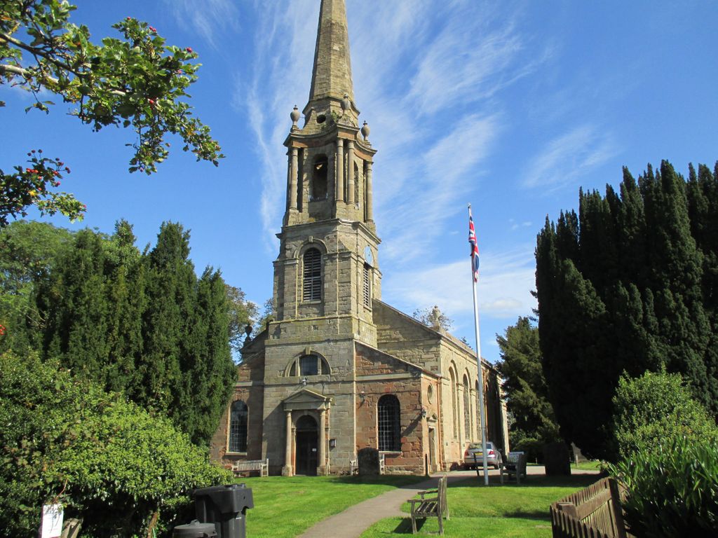
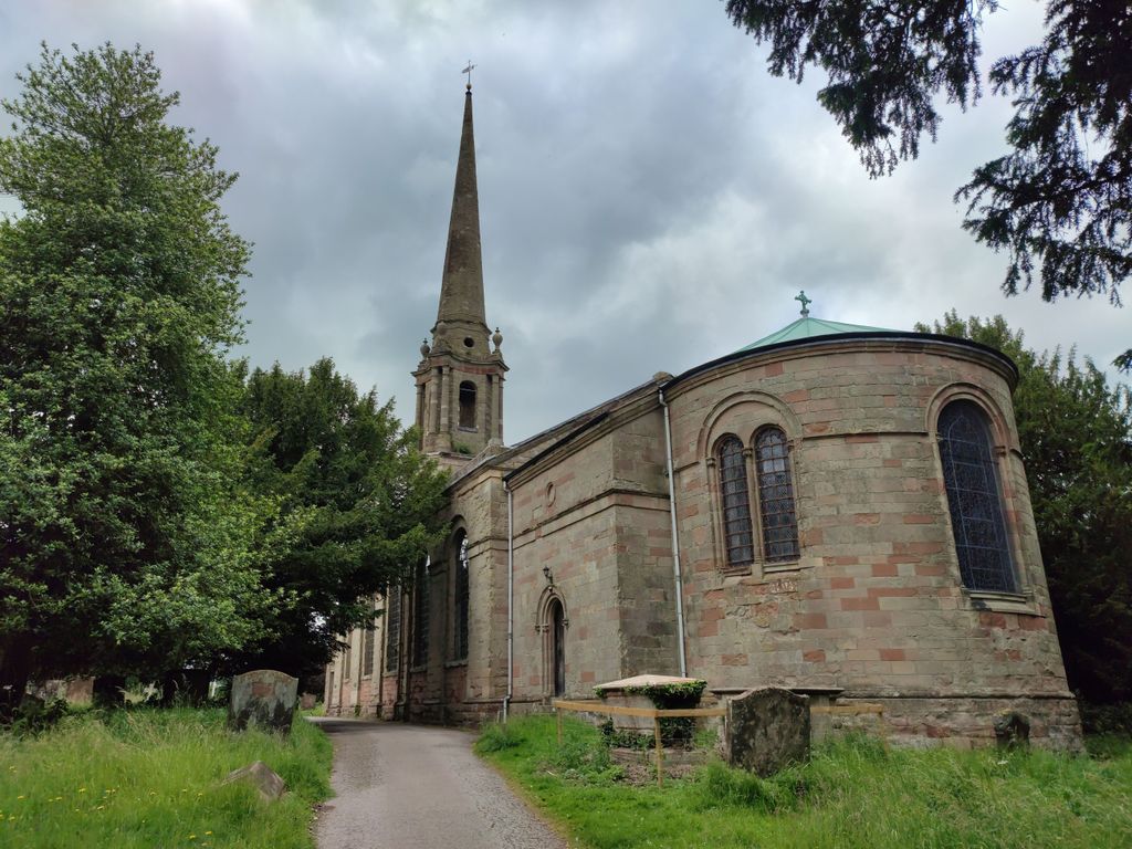
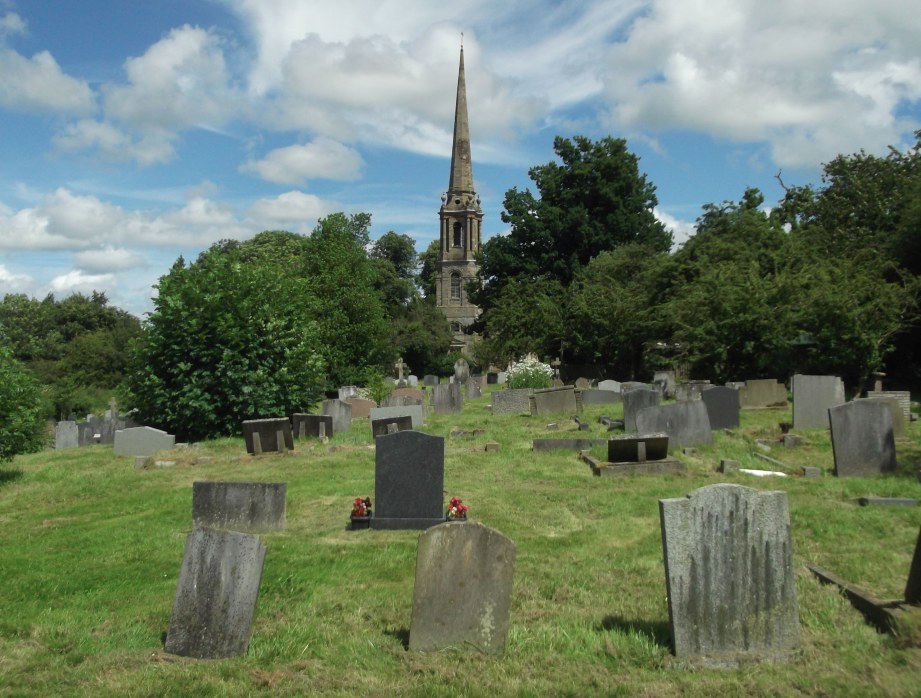
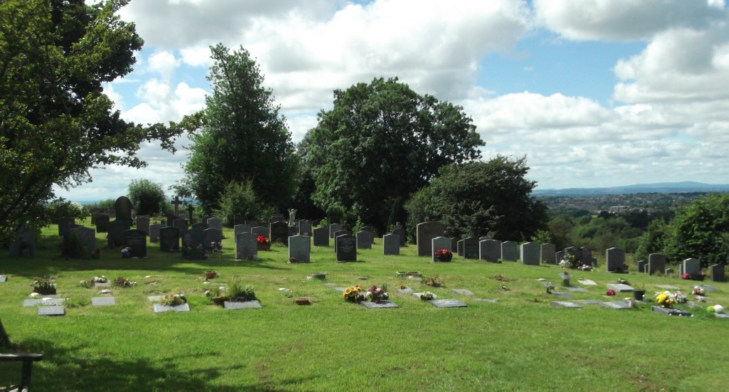
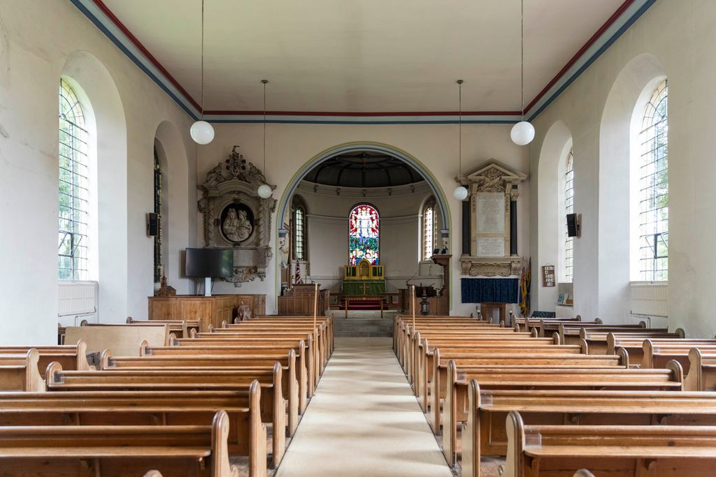
| Description | : | Sitting on a hill above the Worcester canal and locks, the Church of St. Bartholomew's with St. Mary's, Tardebigge has been a landmark in the region for the years. It's known that a church dedicated to St. Bartholomew existed on this site in 1138, when the parish was part of the endowment for the Cistercian Abbey of Bordesley. The medieval building existed here until 1775, when it was so damaged by the collapse of its tower that it had to be pulled down. Many of the family monuments within the church were lost and not replaced in... Read More |
frequently asked questions (FAQ):
-
Where is St. Bartholomew's Churchyard?
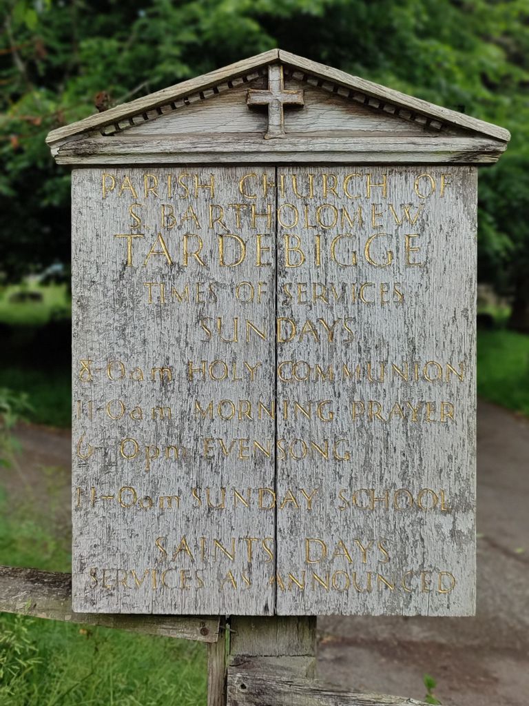
St. Bartholomew's Churchyard is located at Church Lane Tardebigge, Bromsgrove District ,Worcestershire , B60 3AHEngland.
-
St. Bartholomew's Churchyard cemetery's updated grave count on graveviews.com?
0 memorials
-
Where are the coordinates of the St. Bartholomew's Churchyard?
Latitude: 52.3201100
Longitude: -2.0080500
Nearby Cemetories:
1. Finstall Burial Ground
Finstall, Bromsgrove District, England
Coordinate: 52.3256100, -2.0418700
2. United Reform Church Churchyard
Bromsgrove, Bromsgrove District, England
Coordinate: 52.3351920, -2.0588680
3. Bromsgrove Friends Burial Ground
Bromsgrove, Bromsgrove District, England
Coordinate: 52.3338169, -2.0635085
4. St John the Baptist Churchyard
Bromsgrove, Bromsgrove District, England
Coordinate: 52.3343560, -2.0645280
5. Bromsgrove Cemetery
Bromsgrove, Bromsgrove District, England
Coordinate: 52.3349750, -2.0654960
6. St. Peter's Churchyard
Bromsgrove, Bromsgrove District, England
Coordinate: 52.3266220, -2.0706270
7. Bromsgrove New Cemetery
Bromsgrove, Bromsgrove District, England
Coordinate: 52.3363100, -2.0674300
8. Redditch Cemetery
Redditch, Redditch Borough, England
Coordinate: 52.3033870, -1.9483740
9. St Laurence Churchyard
Alvechurch, Bromsgrove District, England
Coordinate: 52.3500430, -1.9624850
10. Abbey Cemetery
Redditch, Redditch Borough, England
Coordinate: 52.3168400, -1.9388000
11. Reddidth Crematorium
Redditch, Redditch Borough, England
Coordinate: 52.3166750, -1.9385110
12. St. Michaels & All Angels Churchyard
Stoke Prior, Bromsgrove District, England
Coordinate: 52.3073925, -2.0757422
13. Redditch Congregational Church Churchyard
Redditch, Redditch Borough, England
Coordinate: 52.3029110, -1.9423500
14. North Bromsgrove Cemetery
Catshill, Bromsgrove District, England
Coordinate: 52.3622100, -2.0476300
15. Christ Church Churchyard
Catshill, Bromsgrove District, England
Coordinate: 52.3601100, -2.0650380
16. Holy Trinity Churchyard Extension
Lickey, Bromsgrove District, England
Coordinate: 52.3738700, -2.0113900
17. Holy Trinity Churchyard
Lickey, Bromsgrove District, England
Coordinate: 52.3751560, -2.0094860
18. Christ Church Additional Cemetery
Catshill, Bromsgrove District, England
Coordinate: 52.3640400, -2.0647000
19. St. Mary the Virgin Churchyard
Hanbury, Wychavon District, England
Coordinate: 52.2772778, -2.0684032
20. St. Michael's Churchyard
Cofton Hackett, Bromsgrove District, England
Coordinate: 52.3762190, -1.9840740
21. St. Michael's Churchyard
Upton Warren, Wychavon District, England
Coordinate: 52.3053500, -2.1030600
22. St. Leonard's Churchyard
Beoley, Bromsgrove District, England
Coordinate: 52.3249100, -1.9058000
23. Holy Trinity and St Mary Churchyard
Dodford, Bromsgrove District, England
Coordinate: 52.3503000, -2.1011200
24. Oratory Retreat Cemetery
Rednal, Metropolitan Borough of Birmingham, England
Coordinate: 52.3848240, -2.0046110