
| Memorials | : | 0 |
| Location | : | Bromsgrove, Bromsgrove District, England |
| Coordinate | : | 52.3363100, -2.0674300 |
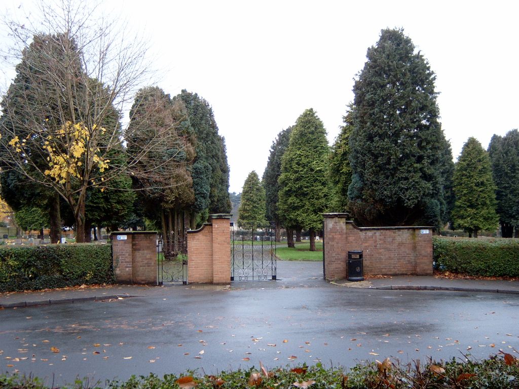
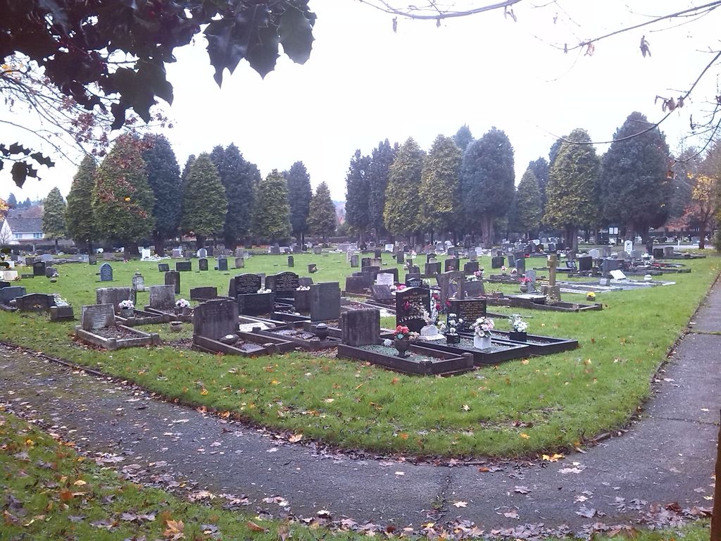
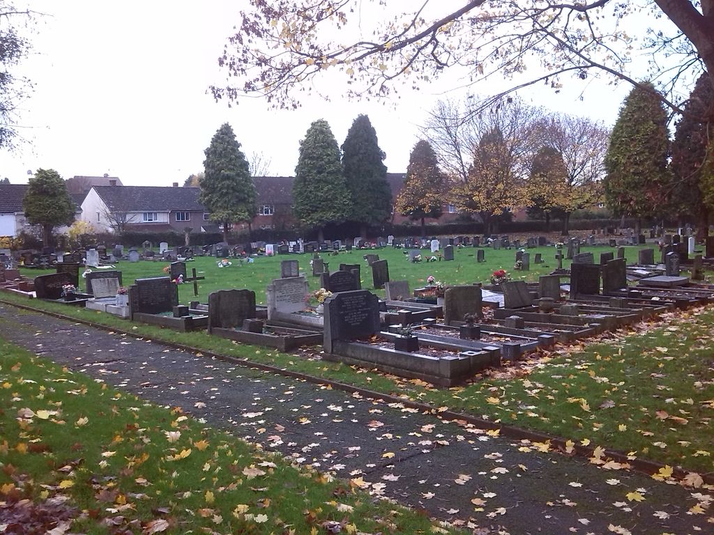
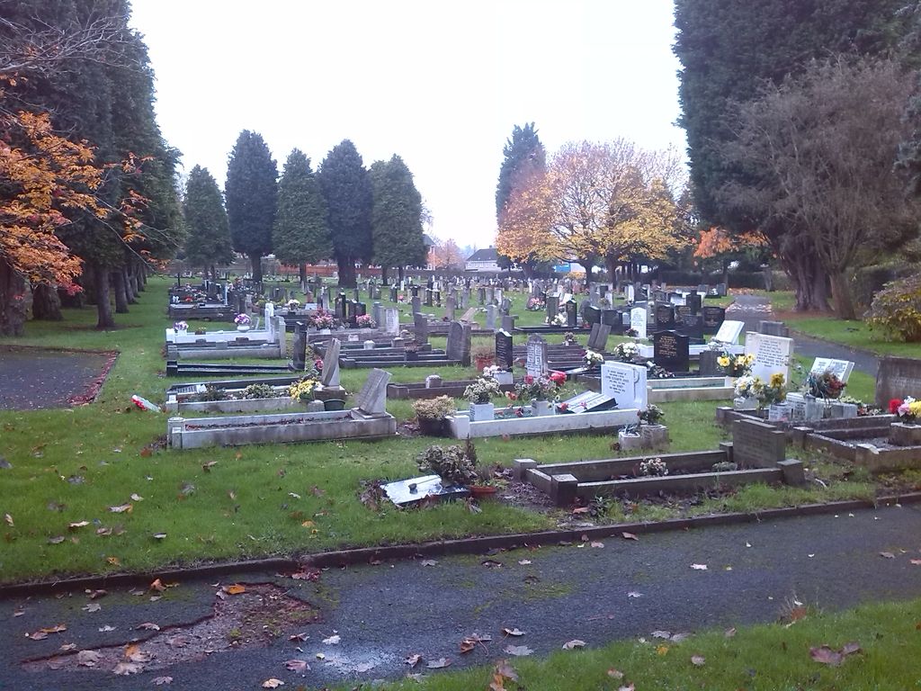
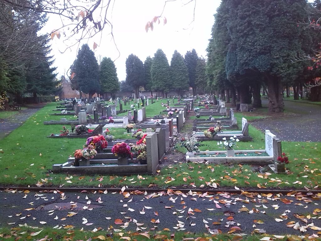
| Description | : | This is the smaller of the two large Cemeteries in Bromsgrove and is located in Church Road. It is divided into 4 sections being A, B, C and D. It is adjacent to and separated from Bromsgrove Old Cemetery by Church Road. {Bromsgrove Old Cemetery is listed as Bromsgrove Cemetery on this site and has its main entrance off Church Lane.} Also note that although this Cemetery is called Bromsgrove New Cemetery, it was opened around 1950 and should not be confused with the more recent North Bromsgrove Cemetery which is located in Barley Mow Lane, Catshill, Bromsgrove. |
frequently asked questions (FAQ):
-
Where is Bromsgrove New Cemetery?
Bromsgrove New Cemetery is located at Church Road Bromsgrove, Bromsgrove District ,Worcestershire ,England.
-
Bromsgrove New Cemetery cemetery's updated grave count on graveviews.com?
0 memorials
-
Where are the coordinates of the Bromsgrove New Cemetery?
Latitude: 52.3363100
Longitude: -2.0674300
Nearby Cemetories:
1. Bromsgrove Cemetery
Bromsgrove, Bromsgrove District, England
Coordinate: 52.3349750, -2.0654960
2. St John the Baptist Churchyard
Bromsgrove, Bromsgrove District, England
Coordinate: 52.3343560, -2.0645280
3. Bromsgrove Friends Burial Ground
Bromsgrove, Bromsgrove District, England
Coordinate: 52.3338169, -2.0635085
4. United Reform Church Churchyard
Bromsgrove, Bromsgrove District, England
Coordinate: 52.3351920, -2.0588680
5. St. Peter's Churchyard
Bromsgrove, Bromsgrove District, England
Coordinate: 52.3266220, -2.0706270
6. Finstall Burial Ground
Finstall, Bromsgrove District, England
Coordinate: 52.3256100, -2.0418700
7. Christ Church Churchyard
Catshill, Bromsgrove District, England
Coordinate: 52.3601100, -2.0650380
8. Holy Trinity and St Mary Churchyard
Dodford, Bromsgrove District, England
Coordinate: 52.3503000, -2.1011200
9. Christ Church Additional Cemetery
Catshill, Bromsgrove District, England
Coordinate: 52.3640400, -2.0647000
10. North Bromsgrove Cemetery
Catshill, Bromsgrove District, England
Coordinate: 52.3622100, -2.0476300
11. St. Michaels & All Angels Churchyard
Stoke Prior, Bromsgrove District, England
Coordinate: 52.3073925, -2.0757422
12. St. Michael's Churchyard
Upton Warren, Wychavon District, England
Coordinate: 52.3053500, -2.1030600
13. St Marks Churchyard
Bromsgrove District, England
Coordinate: 52.3744200, -2.0778000
14. St. Bartholomew's Churchyard
Tardebigge, Bromsgrove District, England
Coordinate: 52.3201100, -2.0080500
15. St. Mary de Wyche Churchyard
Wychbold, Wychavon District, England
Coordinate: 52.2910500, -2.1047300
16. Holy Trinity Churchyard Extension
Lickey, Bromsgrove District, England
Coordinate: 52.3738700, -2.0113900
17. Holy Trinity Churchyard
Lickey, Bromsgrove District, England
Coordinate: 52.3751560, -2.0094860
18. St. Mary's Churchyard
Elmbridge, Wychavon District, England
Coordinate: 52.3088400, -2.1490800
19. St. Mary the Virgin Churchyard
Hanbury, Wychavon District, England
Coordinate: 52.2772778, -2.0684032
20. Oratory Retreat Cemetery
Rednal, Metropolitan Borough of Birmingham, England
Coordinate: 52.3848240, -2.0046110
21. St. Cassian's Churchyard
Chaddesley Corbett, Wyre Forest District, England
Coordinate: 52.3603300, -2.1610400
22. Holy Trinity Churchyard
Belbroughton, Bromsgrove District, England
Coordinate: 52.3897160, -2.1203190
23. St. Michael's Churchyard
Rushock, Wyre Forest District, England
Coordinate: 52.3386730, -2.1708700
24. St. Michael's Churchyard
Cofton Hackett, Bromsgrove District, England
Coordinate: 52.3762190, -1.9840740