
| Memorials | : | 2 |
| Location | : | Lickey, Bromsgrove District, England |
| Coordinate | : | 52.3738700, -2.0113900 |
| Description | : | Lickey is a village in the north of Worcestershire, England approximately 10 miles south west from the centre of Birmingham. It lies in Bromsgrove District and is situated on the Lickey Ridge, amongst the Lickey Hills, its proximity to countryside and the city makes it a popular commuter area. The name of the village of Lickey is thought to have derived from 'leac' (a clearing) and 'hey' (an enclosed space), perhaps referring to a clearing in the forest. The area forms part of the Lickey Hills Country Park. Lickey was populated rapidly from the 1870s onwards by professionals and industrialists such... Read More |
frequently asked questions (FAQ):
-
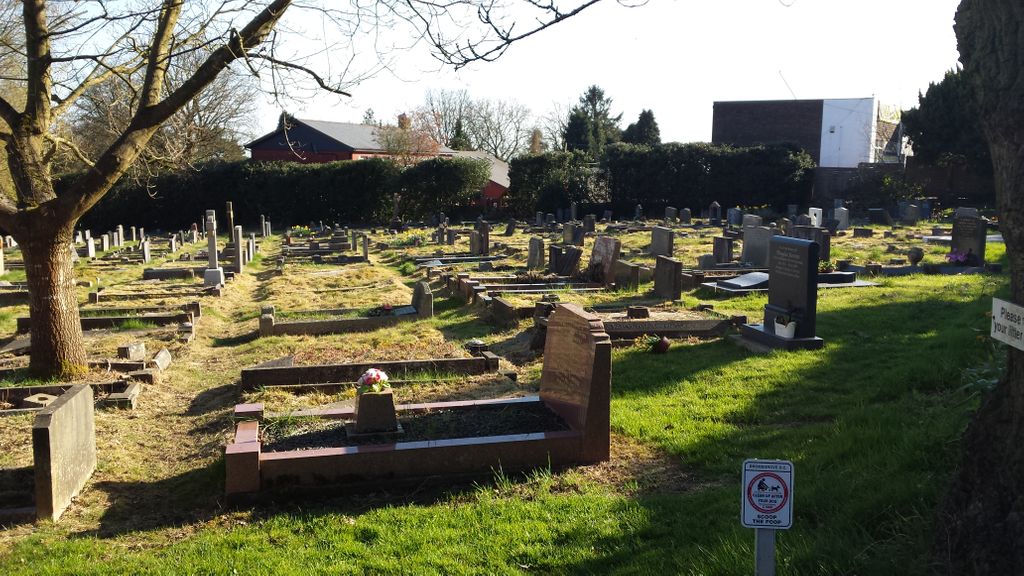
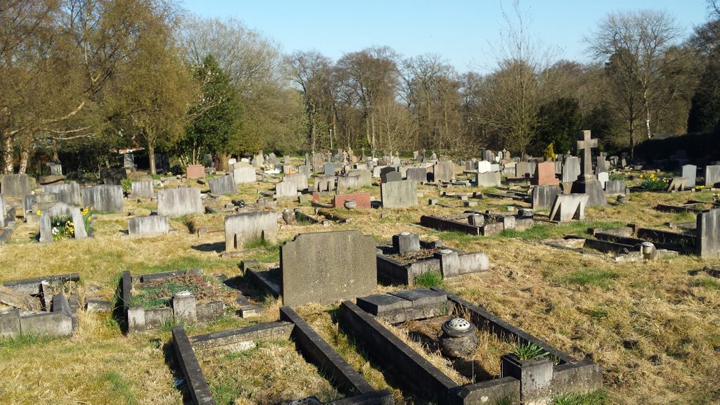
Where is Holy Trinity Churchyard Extension?
Holy Trinity Churchyard Extension is located at Old Birmingham Road [B 4096] Lickey, Bromsgrove District ,Worcestershire ,England.
-
Holy Trinity Churchyard Extension cemetery's updated grave count on graveviews.com?
2 memorials
-
Where are the coordinates of the Holy Trinity Churchyard Extension?
Latitude: 52.3738700
Longitude: -2.0113900

Nearby Cemetories:
1. Holy Trinity Churchyard
Lickey, Bromsgrove District, England
Coordinate: 52.3751560, -2.0094860
2. Oratory Retreat Cemetery
Rednal, Metropolitan Borough of Birmingham, England
Coordinate: 52.3848240, -2.0046110
3. St. Michael's Churchyard
Cofton Hackett, Bromsgrove District, England
Coordinate: 52.3762190, -1.9840740
4. North Bromsgrove Cemetery
Catshill, Bromsgrove District, England
Coordinate: 52.3622100, -2.0476300
5. Christ Church Additional Cemetery
Catshill, Bromsgrove District, England
Coordinate: 52.3640400, -2.0647000
6. Christ Church Churchyard
Catshill, Bromsgrove District, England
Coordinate: 52.3601100, -2.0650380
7. St Laurence Churchyard
Alvechurch, Bromsgrove District, England
Coordinate: 52.3500430, -1.9624850
8. St Marks Churchyard
Bromsgrove District, England
Coordinate: 52.3744200, -2.0778000
9. St Laurence Churchyard Extension
Northfield, Metropolitan Borough of Birmingham, England
Coordinate: 52.4121060, -1.9641390
10. St Leonard Churchyard
Frankley, Bromsgrove District, England
Coordinate: 52.4216690, -2.0029960
11. United Reform Church Churchyard
Bromsgrove, Bromsgrove District, England
Coordinate: 52.3351920, -2.0588680
12. Bromsgrove New Cemetery
Bromsgrove, Bromsgrove District, England
Coordinate: 52.3363100, -2.0674300
13. Bromsgrove Cemetery
Bromsgrove, Bromsgrove District, England
Coordinate: 52.3349750, -2.0654960
14. St John the Baptist Churchyard
Bromsgrove, Bromsgrove District, England
Coordinate: 52.3343560, -2.0645280
15. Bromsgrove Friends Burial Ground
Bromsgrove, Bromsgrove District, England
Coordinate: 52.3338169, -2.0635085
16. Finstall Burial Ground
Finstall, Bromsgrove District, England
Coordinate: 52.3256100, -2.0418700
17. St. Bartholomew's Churchyard
Tardebigge, Bromsgrove District, England
Coordinate: 52.3201100, -2.0080500
18. St. Peter's Churchyard
Bromsgrove, Bromsgrove District, England
Coordinate: 52.3266220, -2.0706270
19. Holy Trinity and St Mary Churchyard
Dodford, Bromsgrove District, England
Coordinate: 52.3503000, -2.1011200
20. Kings Norton Cemetery
Kings Norton, Metropolitan Borough of Birmingham, England
Coordinate: 52.3984090, -1.9220470
21. Saint Nicolas Churchyard
Kings Norton, Metropolitan Borough of Birmingham, England
Coordinate: 52.4086480, -1.9289630
22. St Kenelm's Churchyard
Romsley, Bromsgrove District, England
Coordinate: 52.4243600, -2.0830100
23. Holy Trinity Churchyard
Belbroughton, Bromsgrove District, England
Coordinate: 52.3897160, -2.1203190
24. St. Leonard's Churchyard
Clent, Bromsgrove District, England
Coordinate: 52.4121240, -2.1065080