
| Memorials | : | 0 |
| Location | : | Northfield, Metropolitan Borough of Birmingham, England |
| Coordinate | : | 52.4121060, -1.9641390 |
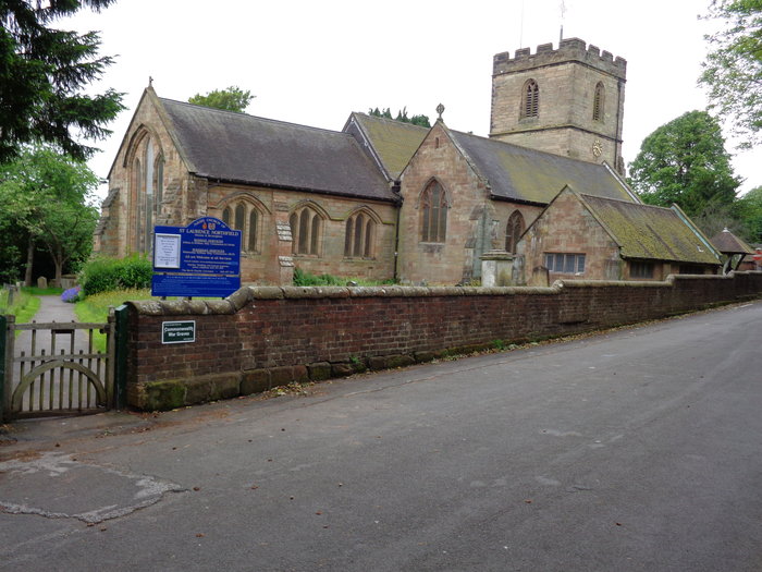
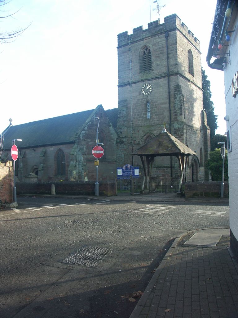
| Description | : | St Laurence 173 Church Road (corner Rectory Road & Church Hill), Northfield, West Midlands, B31 2LX |
frequently asked questions (FAQ):
-
Where is St Laurence Churchyard Extension?
St Laurence Churchyard Extension is located at 173 Church Road Northfield, Metropolitan Borough of Birmingham ,West Midlands , B31 2LXEngland.
-
St Laurence Churchyard Extension cemetery's updated grave count on graveviews.com?
0 memorials
-
Where are the coordinates of the St Laurence Churchyard Extension?
Latitude: 52.4121060
Longitude: -1.9641390
Nearby Cemetories:
1. Saint Nicolas Churchyard
Kings Norton, Metropolitan Borough of Birmingham, England
Coordinate: 52.4086480, -1.9289630
2. St Leonard Churchyard
Frankley, Bromsgrove District, England
Coordinate: 52.4216690, -2.0029960
3. Lodge Hill Cemetery and Crematorium
Birmingham, Metropolitan Borough of Birmingham, England
Coordinate: 52.4384670, -1.9537400
4. Friends Meeting House Burial Ground
Bournville, Metropolitan Borough of Birmingham, England
Coordinate: 52.4363270, -1.9424810
5. Saint Marys Church
Selly Oak, Metropolitan Borough of Birmingham, England
Coordinate: 52.4380500, -1.9457100
6. Kings Norton Cemetery
Kings Norton, Metropolitan Borough of Birmingham, England
Coordinate: 52.3984090, -1.9220470
7. Oratory Retreat Cemetery
Rednal, Metropolitan Borough of Birmingham, England
Coordinate: 52.3848240, -2.0046110
8. St. Michael's Churchyard
Cofton Hackett, Bromsgrove District, England
Coordinate: 52.3762190, -1.9840740
9. Sisters of Charity of St Paul the Apostle Convent
Birmingham, Metropolitan Borough of Birmingham, England
Coordinate: 52.4393400, -1.9205200
10. St. Paul's Convent Cemetery
Birmingham, Metropolitan Borough of Birmingham, England
Coordinate: 52.4401580, -1.9217800
11. Brandwood End Cemetery
Birmingham, Metropolitan Borough of Birmingham, England
Coordinate: 52.4181900, -1.8991100
12. St. Peter's Churchyard
Harborne, Metropolitan Borough of Birmingham, England
Coordinate: 52.4533600, -1.9589050
13. St. Mary's Churchyard
Harborne, Metropolitan Borough of Birmingham, England
Coordinate: 52.4566000, -1.9540700
14. Holy Trinity Churchyard
Lickey, Bromsgrove District, England
Coordinate: 52.3751560, -2.0094860
15. All Saints Churchyard
Kings Heath, Metropolitan Borough of Birmingham, England
Coordinate: 52.4330710, -1.8937240
16. Holy Trinity Churchyard Extension
Lickey, Bromsgrove District, England
Coordinate: 52.3738700, -2.0113900
17. Kingswood Chapel Graveyard
Hollywood, Bromsgrove District, England
Coordinate: 52.3913600, -1.8872000
18. Halesowen Abbey
Hales, Shropshire Unitary Authority, England
Coordinate: 52.4460000, -2.0350000
19. St Bartholomew Churchyard
Edgbaston, Metropolitan Borough of Birmingham, England
Coordinate: 52.4606870, -1.9170890
20. Christ Churchyard
Quinton, Metropolitan Borough of Birmingham, England
Coordinate: 52.4619800, -2.0095500
21. St. Mary's Churchyard
Moseley, Metropolitan Borough of Birmingham, England
Coordinate: 52.4462000, -1.8866900
22. Wythall Cemetery
Wythall, Bromsgrove District, England
Coordinate: 52.3745100, -1.8908450
23. St. Mary's Churchyard
Wythall, Bromsgrove District, England
Coordinate: 52.3720200, -1.8940700
24. Christ Church Churchyard
Yardley Wood, Metropolitan Borough of Birmingham, England
Coordinate: 52.4128140, -1.8645350