
| Memorials | : | 0 |
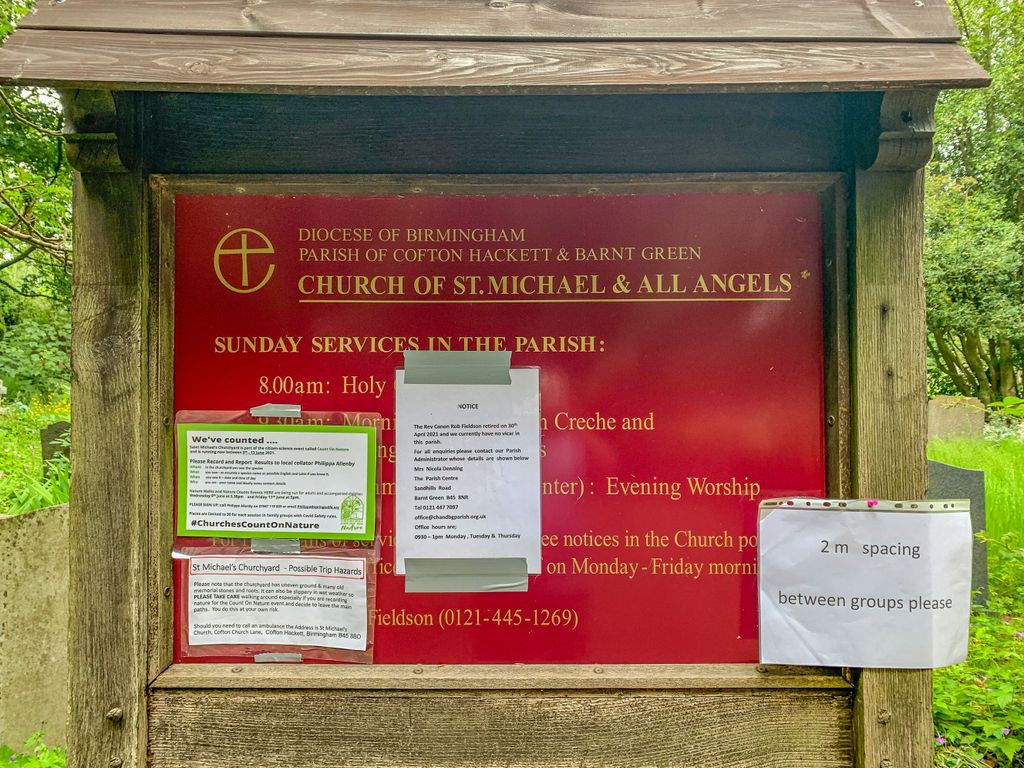
| Location | : | Cofton Hackett, Bromsgrove District, England |
| Phone | : | 0121 447 7097 |
| Website | : | standrewscofe.org.uk/ |
| Coordinate | : | 52.3762190, -1.9840740 |
frequently asked questions (FAQ):
-
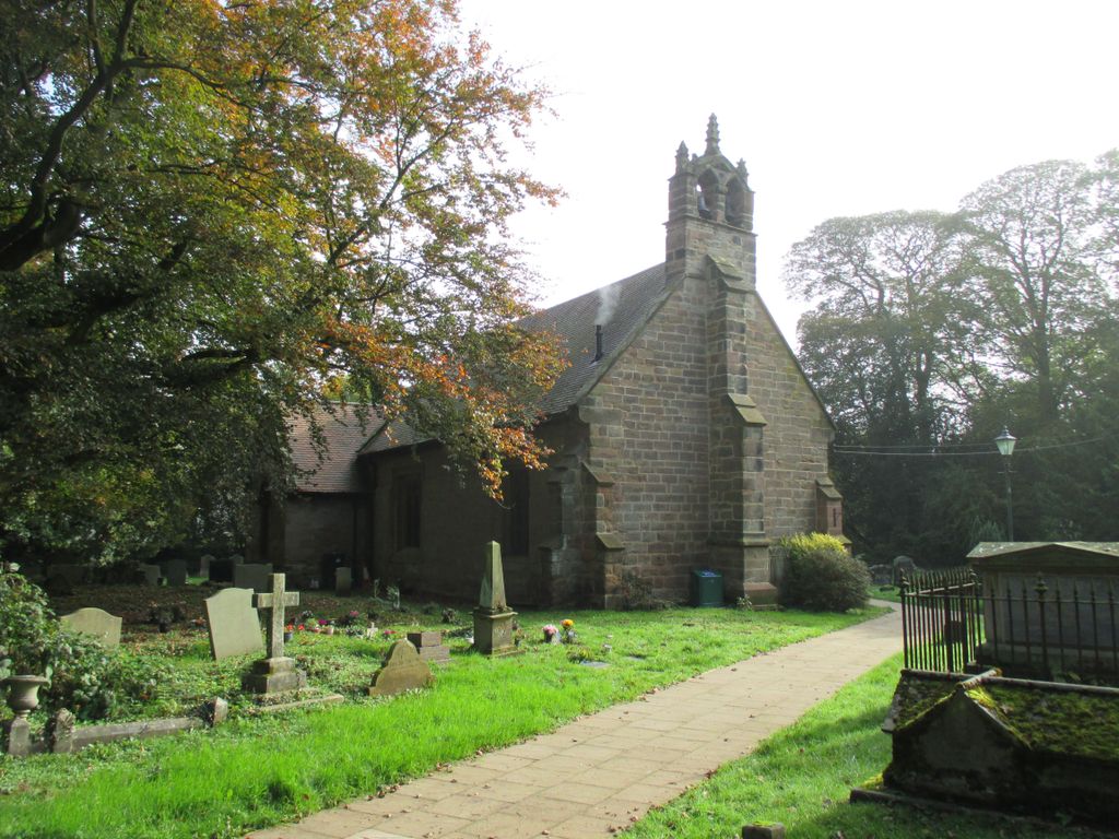
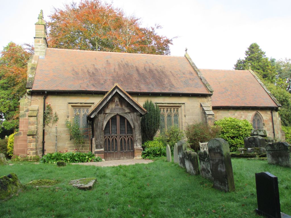
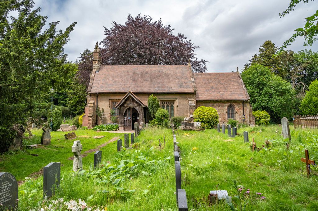
Where is St. Michael's Churchyard?
St. Michael's Churchyard is located at Church Lane, Cofton Hackett Cofton Hackett, Bromsgrove District ,Worcestershire , B45 8BDEngland.
-
St. Michael's Churchyard cemetery's updated grave count on graveviews.com?
0 memorials
-
Where are the coordinates of the St. Michael's Churchyard?
Latitude: 52.3762190
Longitude: -1.9840740
Nearby Cemetories:
1. Oratory Retreat Cemetery
Rednal, Metropolitan Borough of Birmingham, England
Coordinate: 52.3848240, -2.0046110
2. Holy Trinity Churchyard
Lickey, Bromsgrove District, England
Coordinate: 52.3751560, -2.0094860
3. Holy Trinity Churchyard Extension
Lickey, Bromsgrove District, England
Coordinate: 52.3738700, -2.0113900
4. St Laurence Churchyard
Alvechurch, Bromsgrove District, England
Coordinate: 52.3500430, -1.9624850
5. St Laurence Churchyard Extension
Northfield, Metropolitan Borough of Birmingham, England
Coordinate: 52.4121060, -1.9641390
6. North Bromsgrove Cemetery
Catshill, Bromsgrove District, England
Coordinate: 52.3622100, -2.0476300
7. Kings Norton Cemetery
Kings Norton, Metropolitan Borough of Birmingham, England
Coordinate: 52.3984090, -1.9220470
8. Saint Nicolas Churchyard
Kings Norton, Metropolitan Borough of Birmingham, England
Coordinate: 52.4086480, -1.9289630
9. St Leonard Churchyard
Frankley, Bromsgrove District, England
Coordinate: 52.4216690, -2.0029960
10. Christ Church Additional Cemetery
Catshill, Bromsgrove District, England
Coordinate: 52.3640400, -2.0647000
11. Christ Church Churchyard
Catshill, Bromsgrove District, England
Coordinate: 52.3601100, -2.0650380
12. St. Mary's Churchyard
Wythall, Bromsgrove District, England
Coordinate: 52.3720200, -1.8940700
13. Wythall Cemetery
Wythall, Bromsgrove District, England
Coordinate: 52.3745100, -1.8908450
14. St Marks Churchyard
Bromsgrove District, England
Coordinate: 52.3744200, -2.0778000
15. St. Bartholomew's Churchyard
Tardebigge, Bromsgrove District, England
Coordinate: 52.3201100, -2.0080500
16. Kingswood Chapel Graveyard
Hollywood, Bromsgrove District, England
Coordinate: 52.3913600, -1.8872000
17. United Reform Church Churchyard
Bromsgrove, Bromsgrove District, England
Coordinate: 52.3351920, -2.0588680
18. Finstall Burial Ground
Finstall, Bromsgrove District, England
Coordinate: 52.3256100, -2.0418700
19. Bromsgrove Friends Burial Ground
Bromsgrove, Bromsgrove District, England
Coordinate: 52.3338169, -2.0635085
20. St John the Baptist Churchyard
Bromsgrove, Bromsgrove District, England
Coordinate: 52.3343560, -2.0645280
21. Bromsgrove Cemetery
Bromsgrove, Bromsgrove District, England
Coordinate: 52.3349750, -2.0654960
22. Bromsgrove New Cemetery
Bromsgrove, Bromsgrove District, England
Coordinate: 52.3363100, -2.0674300
23. Lodge Hill Cemetery and Crematorium
Birmingham, Metropolitan Borough of Birmingham, England
Coordinate: 52.4384670, -1.9537400
24. Friends Meeting House Burial Ground
Bournville, Metropolitan Borough of Birmingham, England
Coordinate: 52.4363270, -1.9424810