
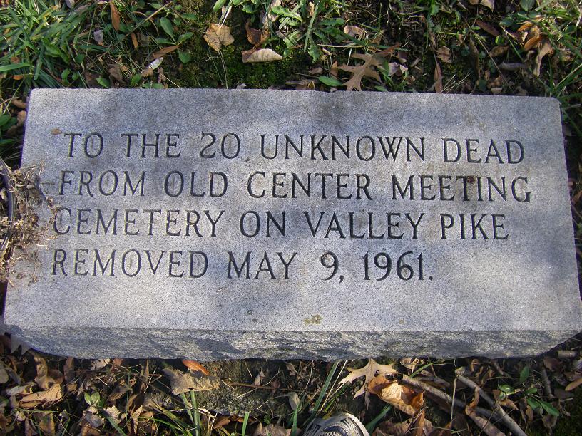
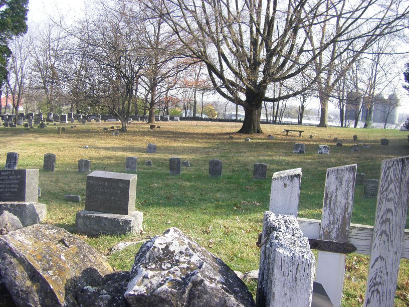
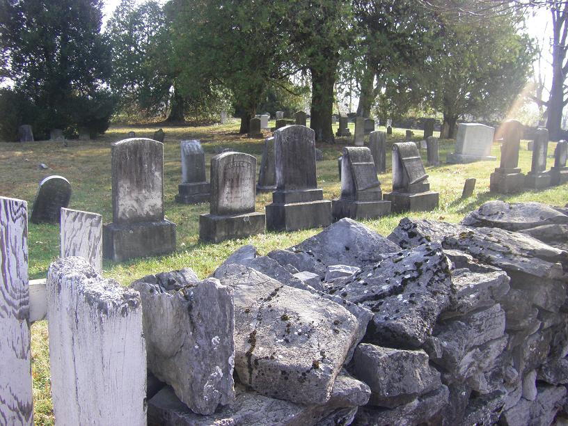
| Memorials | : | 359 |
| Location | : | Clear Brook, Frederick County, USA |
| Website | : | hopecentre.quaker.org/ |
| Coordinate | : | 39.2564011, -78.1147003 |
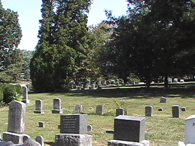
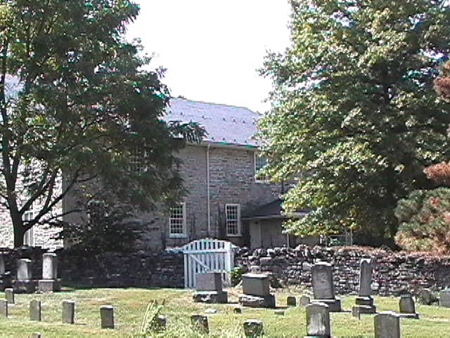
| Description | : | Hopewell was the first Quaker meeting established in the Shenandoah Valley of Virginia. It was originally known as Opeckan and was set off from the Concord Quarterly Meeting of Pennsylvania in 1734. The actual date of first settlement is thought to be around 1730. |
frequently asked questions (FAQ):
-
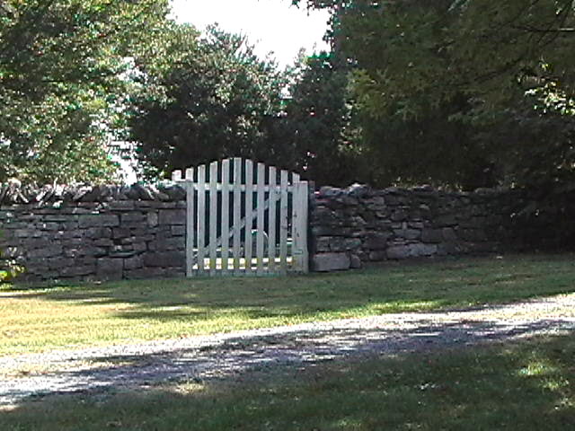
Where is Hopewell Friends Burial Ground?
Hopewell Friends Burial Ground is located at 604 Hopewell Road Clear Brook, Frederick County ,Virginia , 22624USA.
-
Hopewell Friends Burial Ground cemetery's updated grave count on graveviews.com?
359 memorials
-
Where are the coordinates of the Hopewell Friends Burial Ground?
Latitude: 39.2564011
Longitude: -78.1147003


Nearby Cemetories:
1. Welltown United Methodist Church Cemetery
Welltown, Frederick County, USA
Coordinate: 39.2532997, -78.1333008
2. Galilee Christian Church Cemetery
Clear Brook, Frederick County, USA
Coordinate: 39.2640991, -78.1341019
3. Milburn Methodist Chapel Cemetery
Stephenson, Frederick County, USA
Coordinate: 39.2235985, -78.1136017
4. Grace Bible Fellowship Cemetery
Clear Brook, Frederick County, USA
Coordinate: 39.2643747, -78.0620388
5. Brucetown United Methodist Church Cemetery
Clear Brook, Frederick County, USA
Coordinate: 39.2524986, -78.0606003
6. Rest United Methodist Church Cemetery
Rest, Frederick County, USA
Coordinate: 39.2919006, -78.0820999
7. White Hall United Methodist Church Cemetery
White Hall, Frederick County, USA
Coordinate: 39.2937012, -78.1489029
8. Jabbers Hill Cemetery
Clear Brook, Frederick County, USA
Coordinate: 39.2472000, -78.0505981
9. Upper Ridge Cemetery
Nain, Frederick County, USA
Coordinate: 39.2346992, -78.1808014
10. Pleasant Valley United Methodist Church Cemetery
Cedar Grove, Frederick County, USA
Coordinate: 39.2834015, -78.1800995
11. Paynes Chapel Cemetery
Bunker Hill, Berkeley County, USA
Coordinate: 39.2897700, -78.0539900
12. Little Mountain United Methodist Church Cemetery
Cedar Grove, Frederick County, USA
Coordinate: 39.2728004, -78.1891022
13. Old Stone Church Cemetery
Green Spring, Frederick County, USA
Coordinate: 39.3011017, -78.1675034
14. Redbud United Methodist Church Cemetery
Frederick County, USA
Coordinate: 39.1925000, -78.1019400
15. Redbud Cemetery
Burnt Factory, Frederick County, USA
Coordinate: 39.1918983, -78.0916977
16. Burnt Factory United Methodist Church Cemetery
Burnt Factory, Frederick County, USA
Coordinate: 39.1949005, -78.0755005
17. Snider Cemetery
Jones Springs, Berkeley County, USA
Coordinate: 39.2912590, -78.0344780
18. Westminster-Canterbury Memorial Gardens
Frederick County, USA
Coordinate: 39.2021010, -78.1750927
19. Weidman - Suver Cemetery
Bunker Hill, Berkeley County, USA
Coordinate: 39.3335340, -78.1162690
20. Mount Pleasant Cemetery
Gerrardstown, Berkeley County, USA
Coordinate: 39.3338730, -78.1343120
21. Yeakley Cemetery
Frederick County, USA
Coordinate: 39.2416992, -78.2208023
22. Greenwood United Methodist Church Cemetery
Greenwood Heights, Frederick County, USA
Coordinate: 39.1719017, -78.1222000
23. Stones Chapel Cemetery
Clarke County, USA
Coordinate: 39.2261009, -78.0105972
24. Grange Hall Cemetery
Nain, Frederick County, USA
Coordinate: 39.2313995, -78.2241974