
| Memorials | : | 5 |
| Location | : | Stephenson, Frederick County, USA |
| Coordinate | : | 39.2235985, -78.1136017 |
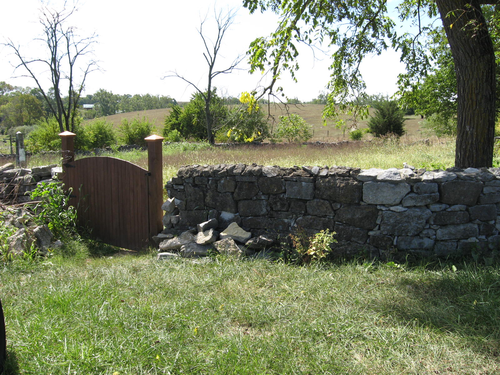
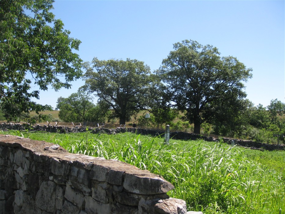
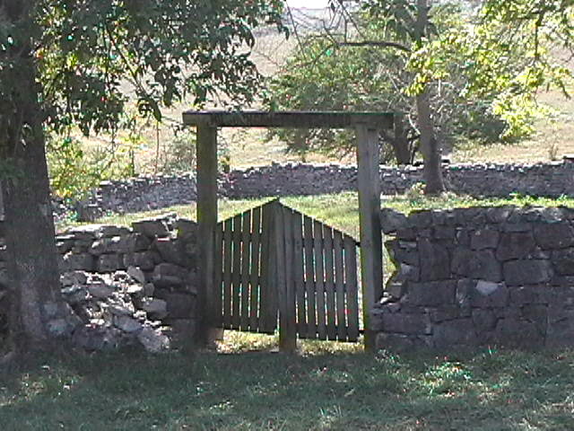
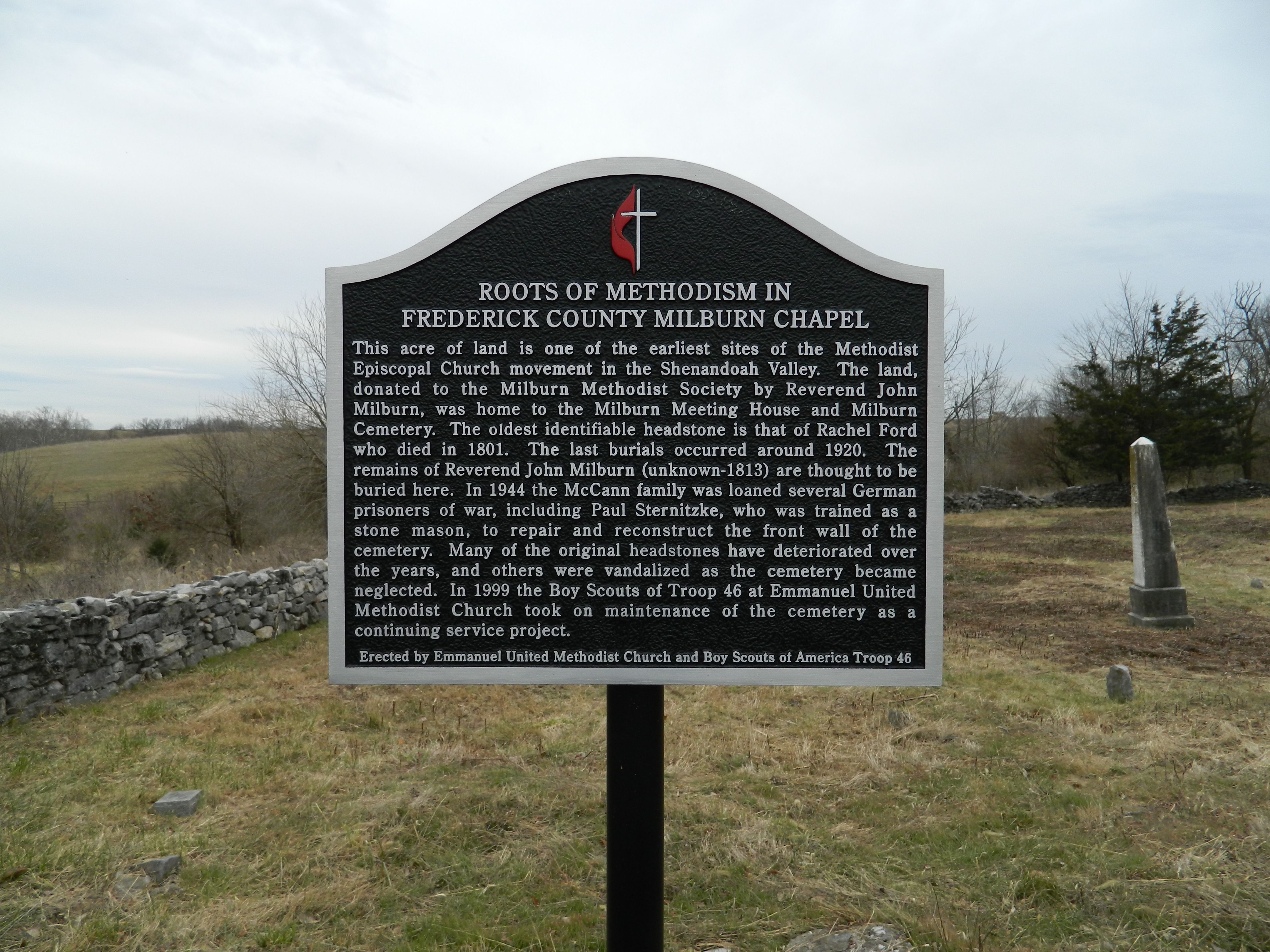
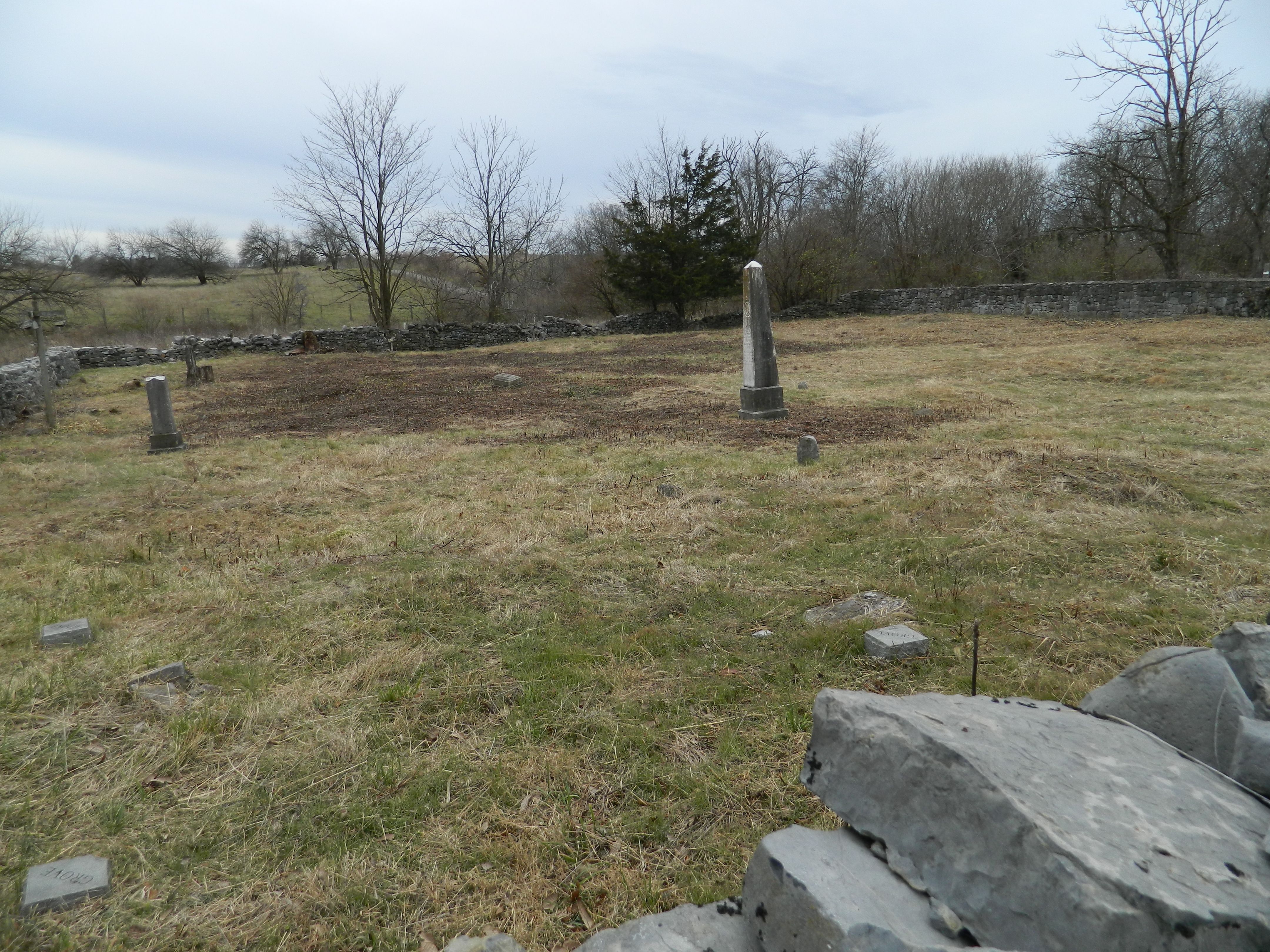
| Description | : | The founder of Milburn Methodist was a converted Quaker by the name of John Milburn, who established the church and cemetery around 1788. Services continued in the log chapel after Milburn's death in 1813 up until it was severely damaged by the Civil War battles fought in the area. In 1887 the remaining members of the church voted to rebuild the church in another location, which became the Methodist Episcopal Church South. Today, the church is known as the Emmanuel United Methodist Church. The cemetery finally passed into the hands of James McCann with burials continuing up through about... Read More |
frequently asked questions (FAQ):
-
Where is Milburn Methodist Chapel Cemetery?
Milburn Methodist Chapel Cemetery is located at Milburn Road Stephenson, Frederick County ,Virginia , 22656USA.
-
Milburn Methodist Chapel Cemetery cemetery's updated grave count on graveviews.com?
5 memorials
-
Where are the coordinates of the Milburn Methodist Chapel Cemetery?
Latitude: 39.2235985
Longitude: -78.1136017
Nearby Cemetories:
1. Redbud United Methodist Church Cemetery
Frederick County, USA
Coordinate: 39.1925000, -78.1019400
2. Hopewell Friends Burial Ground
Clear Brook, Frederick County, USA
Coordinate: 39.2564011, -78.1147003
3. Welltown United Methodist Church Cemetery
Welltown, Frederick County, USA
Coordinate: 39.2532997, -78.1333008
4. Redbud Cemetery
Burnt Factory, Frederick County, USA
Coordinate: 39.1918983, -78.0916977
5. Burnt Factory United Methodist Church Cemetery
Burnt Factory, Frederick County, USA
Coordinate: 39.1949005, -78.0755005
6. Galilee Christian Church Cemetery
Clear Brook, Frederick County, USA
Coordinate: 39.2640991, -78.1341019
7. Brucetown United Methodist Church Cemetery
Clear Brook, Frederick County, USA
Coordinate: 39.2524986, -78.0606003
8. Greenwood United Methodist Church Cemetery
Greenwood Heights, Frederick County, USA
Coordinate: 39.1719017, -78.1222000
9. Westminster-Canterbury Memorial Gardens
Frederick County, USA
Coordinate: 39.2021010, -78.1750927
10. Upper Ridge Cemetery
Nain, Frederick County, USA
Coordinate: 39.2346992, -78.1808014
11. Jabbers Hill Cemetery
Clear Brook, Frederick County, USA
Coordinate: 39.2472000, -78.0505981
12. Grace Bible Fellowship Cemetery
Clear Brook, Frederick County, USA
Coordinate: 39.2643747, -78.0620388
13. Rest United Methodist Church Cemetery
Rest, Frederick County, USA
Coordinate: 39.2919006, -78.0820999
14. White Hall United Methodist Church Cemetery
White Hall, Frederick County, USA
Coordinate: 39.2937012, -78.1489029
15. Little Mountain United Methodist Church Cemetery
Cedar Grove, Frederick County, USA
Coordinate: 39.2728004, -78.1891022
16. Pleasant Valley United Methodist Church Cemetery
Cedar Grove, Frederick County, USA
Coordinate: 39.2834015, -78.1800995
17. Stones Chapel Cemetery
Clarke County, USA
Coordinate: 39.2261009, -78.0105972
18. Paynes Chapel Cemetery
Bunker Hill, Berkeley County, USA
Coordinate: 39.2897700, -78.0539900
19. Yeakley Cemetery
Frederick County, USA
Coordinate: 39.2416992, -78.2208023
20. Poor Farm Cemetery
Round Hill, Frederick County, USA
Coordinate: 39.2123985, -78.2233963
21. Grange Hall Cemetery
Nain, Frederick County, USA
Coordinate: 39.2313995, -78.2241974
22. Russell Family Cemetery Rock Hall
Berryville, Clarke County, USA
Coordinate: 39.1748210, -78.0211690
23. Crums Cemetery
Berryville, Clarke County, USA
Coordinate: 39.2092018, -78.0018997
24. Old Stone Church Cemetery
Green Spring, Frederick County, USA
Coordinate: 39.3011017, -78.1675034