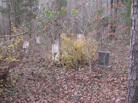
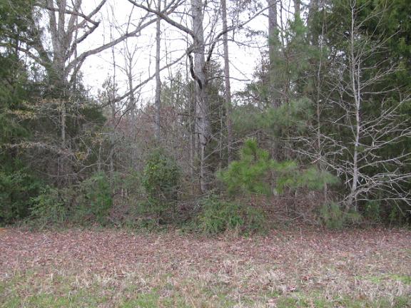
| Memorials | : | 0 |
| Location | : | Chesterfield, Chesterfield County, USA |
| Coordinate | : | 34.7704190, -80.1322070 |
| Description | : | Directions: Take Highway 9 west from Chesterfield, S.C. Turn right on Womble Hill Road. Turn right on Don Hill Road at Ebenezer United Methodist Church. Cemetery is approximately 100 yards before you get to state road S13-141 on the left side of the road approximately 50 yards off the Don Hill Road. |
frequently asked questions (FAQ):
-
Where is Hurst Family Cemetery?
Hurst Family Cemetery is located at Don Hill Road Chesterfield, Chesterfield County ,South Carolina ,USA.
-
Hurst Family Cemetery cemetery's updated grave count on graveviews.com?
0 memorials
-
Where are the coordinates of the Hurst Family Cemetery?
Latitude: 34.7704190
Longitude: -80.1322070
Nearby Cemetories:
1. Griggs Cemetery
Chesterfield, Chesterfield County, USA
Coordinate: 34.7757988, -80.1382980
2. Davidson Grove Baptist Church Cemetery
Chesterfield, Chesterfield County, USA
Coordinate: 34.7645660, -80.1405070
3. Ebenezer United Methodist Church Cemetery
Chesterfield, Chesterfield County, USA
Coordinate: 34.7602997, -80.1343994
4. Hurst Cemetery
Chesterfield, Chesterfield County, USA
Coordinate: 34.7552910, -80.1179504
5. Wamble Hill Cemetery
Chesterfield, Chesterfield County, USA
Coordinate: 34.7495290, -80.1292780
6. Thompson Creek Baptist Church Cemetery New
Chesterfield County, USA
Coordinate: 34.7756004, -80.1575012
7. Thompson Creek Baptist Church Cemetery Old
Chesterfield, Chesterfield County, USA
Coordinate: 34.7771740, -80.1573740
8. Moore Cemetery
Ruby, Chesterfield County, USA
Coordinate: 34.7932060, -80.1473880
9. Gaddy-Sellers Cemetery
Ruby, Chesterfield County, USA
Coordinate: 34.7500840, -80.1534820
10. Sellers Family Cemetery
Chesterfield, Chesterfield County, USA
Coordinate: 34.7437060, -80.1537960
11. Sowell Cemetery
Chesterfield, Chesterfield County, USA
Coordinate: 34.7654220, -80.0933680
12. Burch Family Cemetery
Maysville, Chesterfield County, USA
Coordinate: 34.7976160, -80.1581110
13. Massey Cemetery
Ruby, Chesterfield County, USA
Coordinate: 34.7783050, -80.1735600
14. Berkley Family Cemetery
Chesterfield, Chesterfield County, USA
Coordinate: 34.7376230, -80.1478220
15. Melton Family Cemetery
Ruby, Chesterfield County, USA
Coordinate: 34.7428650, -80.1607650
16. Friendship United Methodist Church Cemetery
Chesterfield, Chesterfield County, USA
Coordinate: 34.7655983, -80.0883026
17. Gulledge Family Cemetery
Ruby, Chesterfield County, USA
Coordinate: 34.7685860, -80.1802830
18. Hopewell Baptist Church Cemetery
Chesterfield, Chesterfield County, USA
Coordinate: 34.7330600, -80.1486970
19. Mount Level Baptist Church Cemetery
Chesterfield, Chesterfield County, USA
Coordinate: 34.7990910, -80.0970350
20. Davids Grove Baptist Church Cemetery
Chesterfield, Chesterfield County, USA
Coordinate: 34.7928009, -80.0903015
21. Adams Family Cemetery
Chesterfield, Chesterfield County, USA
Coordinate: 34.8073080, -80.1096060
22. Dred Cemetery
Chesterfield, Chesterfield County, USA
Coordinate: 34.7821920, -80.0837230
23. Mount Airy A.M.E. Zion Church Cemetery
Chesterfield, Chesterfield County, USA
Coordinate: 34.7315780, -80.1514510
24. Bittle Family Cemetery
Chesterfield, Chesterfield County, USA
Coordinate: 34.7535050, -80.0828380


