
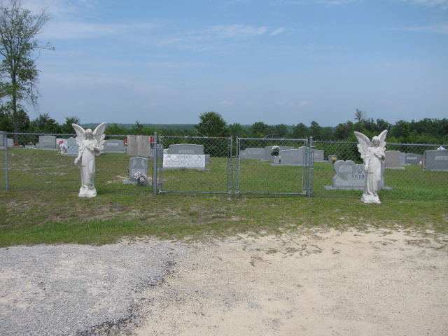
| Memorials | : | 0 |
| Location | : | Chesterfield, Chesterfield County, USA |
| Coordinate | : | 34.7928009, -80.0903015 |
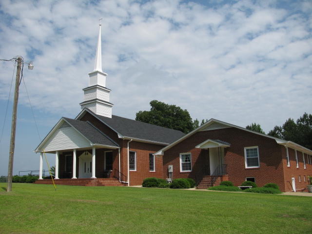
| Description | : | From Chesterfield, S.C. take highway 145 north. Go one mile and take the left fork which is highway 742. Go another mile. Turn right onto Davids Grove Church Road. Church and cemetery are on the right. |
frequently asked questions (FAQ):
-
Where is Davids Grove Baptist Church Cemetery?
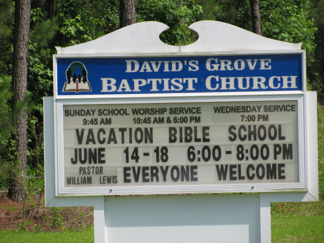
Davids Grove Baptist Church Cemetery is located at Chesterfield, Chesterfield County ,South Carolina ,USA.
-
Davids Grove Baptist Church Cemetery cemetery's updated grave count on graveviews.com?
0 memorials
-
Where are the coordinates of the Davids Grove Baptist Church Cemetery?
Latitude: 34.7928009
Longitude: -80.0903015
Nearby Cemetories:
1. Stroud Family Cemetery
Chesterfield, Chesterfield County, USA
Coordinate: 34.7919380, -80.0813360
2. Mount Level Baptist Church Cemetery
Chesterfield, Chesterfield County, USA
Coordinate: 34.7990910, -80.0970350
3. Dred Cemetery
Chesterfield, Chesterfield County, USA
Coordinate: 34.7821920, -80.0837230
4. Griggs Family Cemetery
Chesterfield, Chesterfield County, USA
Coordinate: 34.8042150, -80.0732200
5. Adams Family Cemetery
Chesterfield, Chesterfield County, USA
Coordinate: 34.8073080, -80.1096060
6. Friendship United Methodist Church Cemetery
Chesterfield, Chesterfield County, USA
Coordinate: 34.7655983, -80.0883026
7. Sowell Cemetery
Chesterfield, Chesterfield County, USA
Coordinate: 34.7654220, -80.0933680
8. Rickets Cemetery
Wadesboro, Anson County, USA
Coordinate: 34.8186700, -80.1066000
9. Vaughn-Campbell Cemetery
Cason Old Field, Anson County, USA
Coordinate: 34.8187140, -80.1066880
10. Williams Cemetery
Cason Old Field, Anson County, USA
Coordinate: 34.8237430, -80.1060340
11. Smith Cemetery
Chesterfield, Chesterfield County, USA
Coordinate: 34.7974840, -80.0480710
12. Bittle Family Cemetery
Chesterfield, Chesterfield County, USA
Coordinate: 34.7535050, -80.0828380
13. Campbell Family Cemetery
Chesterfield, Chesterfield County, USA
Coordinate: 34.8048360, -80.0441280
14. Hurst Family Cemetery
Chesterfield, Chesterfield County, USA
Coordinate: 34.7704190, -80.1322070
15. Short Cemetery
Cason Old Field, Anson County, USA
Coordinate: 34.8294550, -80.1128950
16. Burr Cemetery
Cason Old Field, Anson County, USA
Coordinate: 34.8319120, -80.0709340
17. Griggs Cemetery
Chesterfield, Chesterfield County, USA
Coordinate: 34.7757988, -80.1382980
18. Hurst Cemetery
Chesterfield, Chesterfield County, USA
Coordinate: 34.7552910, -80.1179504
19. Davis Cemetery
Chesterfield, Chesterfield County, USA
Coordinate: 34.7676600, -80.0456570
20. Tucker Family Cemetery
Cason Old Field, Anson County, USA
Coordinate: 34.8186900, -80.1344100
21. New Hope United Methodist Church Cemetery
Wadesboro, Anson County, USA
Coordinate: 34.8382390, -80.0943390
22. James Ratliff Cemetery
Cason Old Field, Anson County, USA
Coordinate: 34.8346590, -80.1147080
23. Sandy Plains United Methodist Church Cemetery
Morven, Anson County, USA
Coordinate: 34.8245800, -80.0488600
24. Moore Cemetery
Ruby, Chesterfield County, USA
Coordinate: 34.7932060, -80.1473880