
| Memorials | : | 0 |
| Location | : | Burleigh County, USA |
| Coordinate | : | 47.3155289, -100.4751129 |
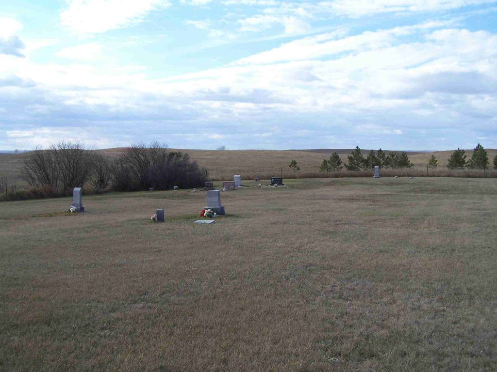
| Description | : | The Cemetery name is misspelled it is: Johns Lake Mennonite Brethern but it should be : Johns Lake Mennonite Brethren. |
frequently asked questions (FAQ):
-
Where is Johns Lake Mennonite Brethren?
Johns Lake Mennonite Brethren is located at Burleigh County ,North Dakota ,USA.
-
Johns Lake Mennonite Brethren cemetery's updated grave count on graveviews.com?
0 memorials
-
Where are the coordinates of the Johns Lake Mennonite Brethren?
Latitude: 47.3155289
Longitude: -100.4751129
Nearby Cemetories:
1. Last Rest Cemetery
McClusky, Sheridan County, USA
Coordinate: 47.3417900, -100.5028400
2. Alta Community Church Cemetery
Wilton, Burleigh County, USA
Coordinate: 47.3093000, -100.6217000
3. Edgmont Township Cemetery
Sheridan County, USA
Coordinate: 47.3852997, -100.5875168
4. Jewish Cemetery
Regan, Burleigh County, USA
Coordinate: 47.1790200, -100.4751700
5. First German Baptist Church Cemetery
McClusky, Sheridan County, USA
Coordinate: 47.4450684, -100.3536987
6. Regan Cemetery
Regan, Burleigh County, USA
Coordinate: 47.1605644, -100.5173187
7. McClusky City Cemetery
McClusky, Sheridan County, USA
Coordinate: 47.4801178, -100.4373550
8. Holy Family Catholic Cemetery
McClusky, Sheridan County, USA
Coordinate: 47.4807854, -100.4375076
9. Saint Nickolas Ukrainian Cemetery
Wilton, Burleigh County, USA
Coordinate: 47.2586555, -100.7074509
10. Richmond Cemetery
Wing, Burleigh County, USA
Coordinate: 47.1922020, -100.2832570
11. Bethel United Methodist Cemetery
Mercer, McLean County, USA
Coordinate: 47.3509000, -100.7361750
12. Denhoff Adventist Cemetery
Sheridan County, USA
Coordinate: 47.4197006, -100.2446976
13. Zion Lutheran Cemetery
Mercer, McLean County, USA
Coordinate: 47.3857000, -100.7367600
14. Stark Mennonite Church Cemetery
Wing, Burleigh County, USA
Coordinate: 47.3153800, -100.1770700
15. Mission Cemetery
Wilton, Burleigh County, USA
Coordinate: 47.1573181, -100.6640854
16. Hazel Grove Cemetery
Wing, Burleigh County, USA
Coordinate: 47.3150940, -100.1690700
17. Ghylin Union Cemetery
Burleigh County, USA
Coordinate: 47.1124992, -100.5808029
18. Sunne Lutheran Cemetery
Wilton, Burleigh County, USA
Coordinate: 47.1419868, -100.6660538
19. Denhoff Cemetery
Denhoff, Sheridan County, USA
Coordinate: 47.4839973, -100.2679291
20. Wing Cemetery
Wing, Burleigh County, USA
Coordinate: 47.1380000, -100.2830000
21. Denhoff Catholic Cemetery
Denhoff, Sheridan County, USA
Coordinate: 47.4853247, -100.2673544
22. Zion Baptist Cemetery
McLean County, USA
Coordinate: 47.3518982, -100.7985992
23. Westheim Cemetery
Sheridan County, USA
Coordinate: 47.5421982, -100.4807968
24. Phoenix Township Cemetery
Arena, Burleigh County, USA
Coordinate: 47.1854000, -100.1996000